
First…

Almost 90 this afternoon, with comfortable humidity.
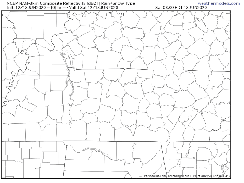
A few showers or storms may pop up in NW Middle Tennessee, but those should stay away from us. Here’s the NAM3 model showing that activity N and NW of us:
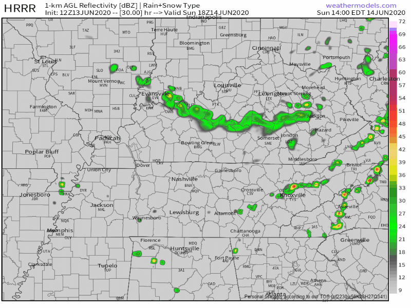
Similar story Sunday. Rain may try to develop by mid/late afternoon as an upper-level low dips southward, bringing a cold front from our north with it. These will be nothing more than pop-up showers only lasting a few minutes as the cold front heads south. The HRRR model (below) predicts rain north and south of us, but nothing local, although you should doubt that this model has it exactly right. We may get a shower, briefly.
As the cold front pushes southward Sunday afternoon, expect low temps overnight Sunday night to dip into the upper 50s before sunrise Monday.
Nice Next Week, But Hotter, Then Much Hotter
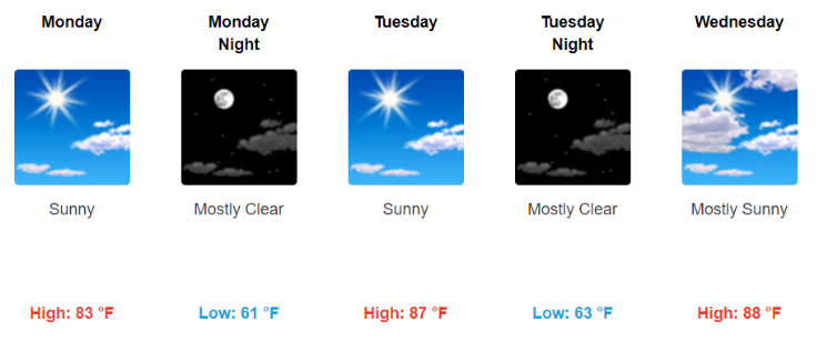
Temps and humidity will rise through the week. First of the week will be comfy, end of the week: swampy and sweaty.
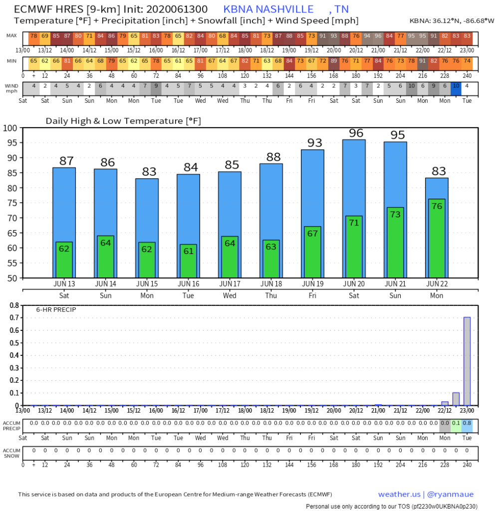
The Euro model has high temps at 96 Saturday and 95 Sunday:
Your Dog Sent Us This

As always, check back for updates to the forecast and be sure to follow @NashSevereWx on Twitter!
Categories: Forecast Blogs (Legacy)
You must be logged in to post a comment.