
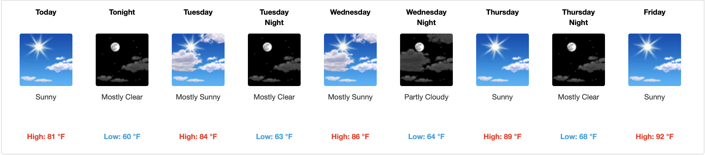
Although the official start of summer is not until June 20th, let me just give you a preview as to what’s to come this week.
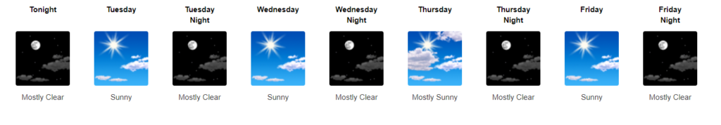
[Editor’s Note: The print is small, but be in awe of the number of visible blue skies and moons.]
No rain in sight!
Thanks to yesterday’s cold front, a drier and cooler airmass will be sticking around until Wednesday. Expect air temps in the mid-80s and dew points in the 50s.
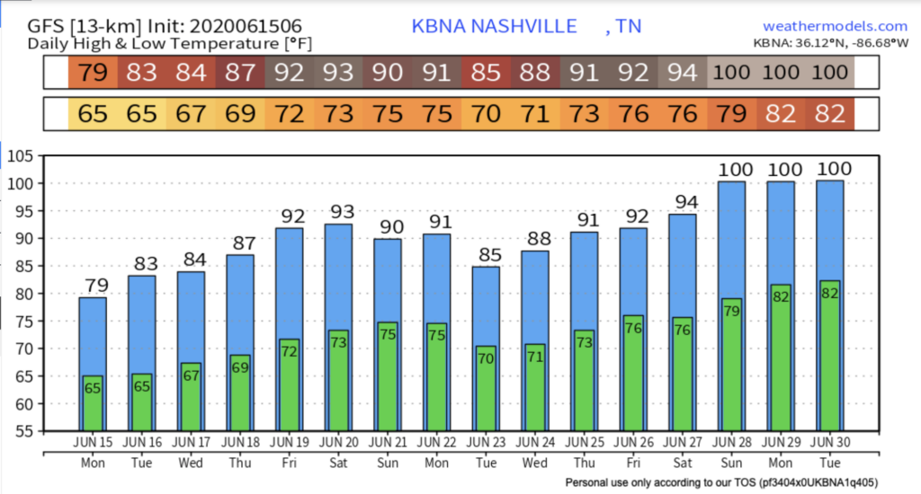
We hit 83° today. We’ll see a similar high tomorrow before we gradually climb into the lower 90s by Friday.
An upper-level low moving southward has finally made its way to Kentucky and still pushing south. This will be the cause for some scattered and storms for eastern Tennessee for the next few afternoons this week.
Although our eastern counties will be getting some rain, over here in Nashville it will remain dry and quiet until next week.
Dewpoints are on the Rise…
“As we head into Thursday and Friday, dewpoints will gradually rise to around 60 degrees and temperatures will steadily climb until they reach the 90s on Saturday.”
NWS Forecast Discussion 06/15/20
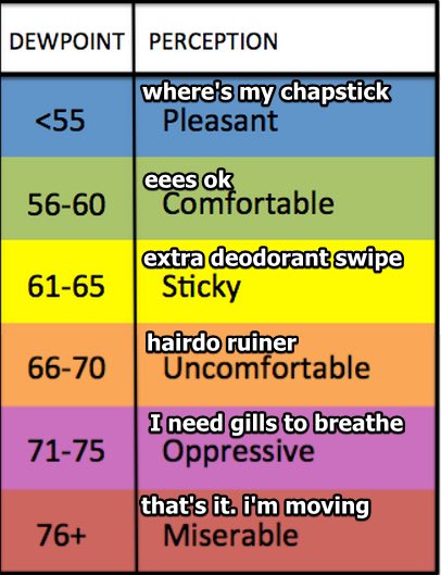
And as those temperatures rise, so will those dewpoints. Sometimes you have to look at the glass half full and not half empty… at least our dewpoints are only in the 60s and not the 70s! Right?

Weekend Outlook
Our hottest day is forecast to be on Saturday with a high of 94°. Friday and Saturday will remain mostly sunny with dewpoints in the 60s.
Clouds and muggy conditions are expected to sneak their way into the area on Sunday ahead of an approaching cold front.
The potential for isolated showers and thunderstorms as this front moves its way in is possible, but our next best chance of widespread showers over the area looks to be next Monday as this frontal system moves right over us.
The GFS model shows another warming trend toward the end of the month. But, don’t get too anxious about the 100s just yet. That’s a long way off. We will most likely see temperatures in the 90s.
On This Day…
June 15th, 1952: Temperatures in Nashville recorded 100 degrees – the earliest date ever for a 100 degree recording.

Categories: Forecast Blogs (Legacy)
You must be logged in to post a comment.