Cold Today, Warmer This Weekend
After a bitter start to the morning we’re not going to get too much warmer through the afternoon. Even with the sun out and giving us a little sense of “warmth”, we’ll only be up to 36° for the high.

After a bitter start to the morning we’re not going to get too much warmer through the afternoon. Even with the sun out and giving us a little sense of “warmth”, we’ll only be up to 36° for the high.
We’re going to get a small break from the showers this afternoon and evening. The clouds are still going to stick around though and keep our high temperature at 48°.
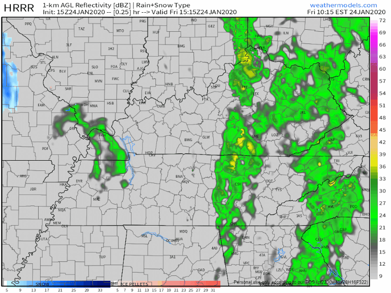
Here’s the HRRR model through 5:00 am tomorrow morning.
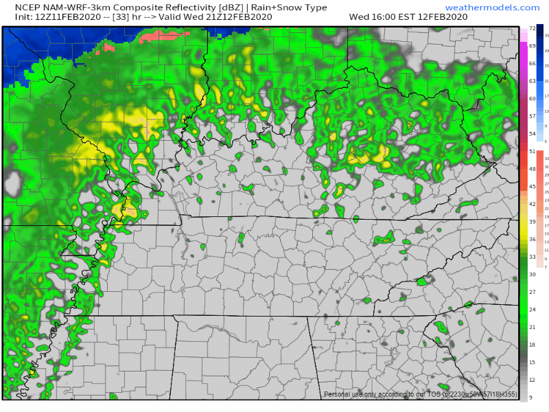
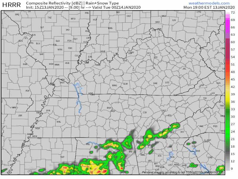
We’ve got a few lingering showers passing through Middle Tennessee this afternoon. Nothing close to a washout, but have the umbrella handy just in case. Here’s the HRRR
The low pressure system that’s been giving us rain the past couple of days finally moves out of the region today. The cloud cover sticks with us through tonight however, holding our temperature to 48° for the high. We could see a flurry or two overnight, but no accumulation.
As the clouds begin to thin out this morning and into the afternoon, the sun will peek out and “warm” us to 38°. Don’t be fooled by the word “warm”, it’ll still be cold. Some of us may be a bit cooler than that this afternoon, depending on how quickly the clouds move out. Keep that heavy coat in hand if you’re going out tonight as well, lows will be back in the teens and lower 20s as we head into Wednesday.
An abundance of some clouds will keep our temperatures around 48° for the high this afternoon. No rain in the forecast for the rest of today, so Friday evening plans are all clear, but you’ll probably need a jacket as temperatures drop once the sun sets.
No rain today, high 60°.
Rain comes tonight, after midnight. A few rumbles of thunder and/or a downpour might wake you up tonight; hail the main concern. No tornado or strong wind concerns.

Hail up to 1″ in diameter is remotely possible, mainly south of I-40 in the dark green shaded area. The probability of a big ole hailstone falling within 25 miles of those in the green shaded area is 5%.
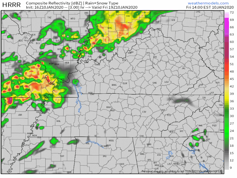
We’re going to have on and off rain throughout your Friday afternoon and into the evening hours. Hold onto your hats if you have any plans this evening as winds will continue to gust up to 30-40mph. Here’s the latest HRRR model, not all of us will see rain this afternoon and evening, but some will.
The next few days in Middle Tennessee are going to be pretty nice. No rain in the forecast over the next couple days. We’ll continue to warm from our high today of 51°, and into the mid 50s and low 60s by Thursday.
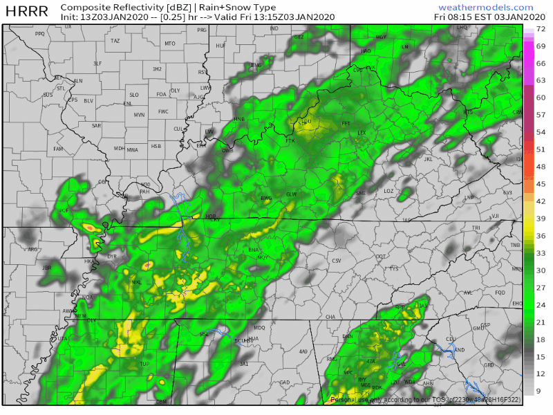
Periods of heavy rain will continue throughout much of the day. Urban and river flooding is still very much a risk. Middle Tennessee is under a Flood Watch through this afternoon, as the rain begins to become less widespread.
Now that all the excessive rainfall has moved on out of Middle Tennessee, cooler temperatures are going to stick around with us over the next couple of days. Due to all of that rain, some rivers and creeks are still pretty high, so rivers such as the Cumberland and Harpeth currently have flood advisories attached to them for elevated levels, although neither river is forecast to reach flood stage. Careful on the greenway near Percy Priest Dam, however. Portions of it will be impacted.
You must be logged in to post a comment.