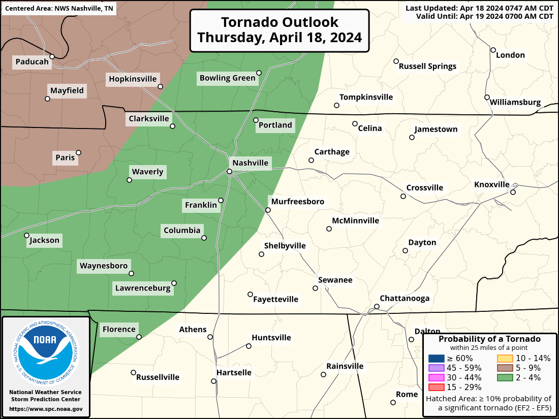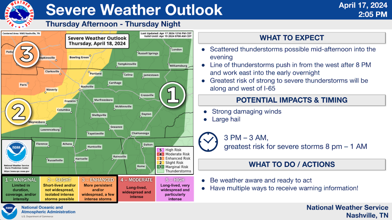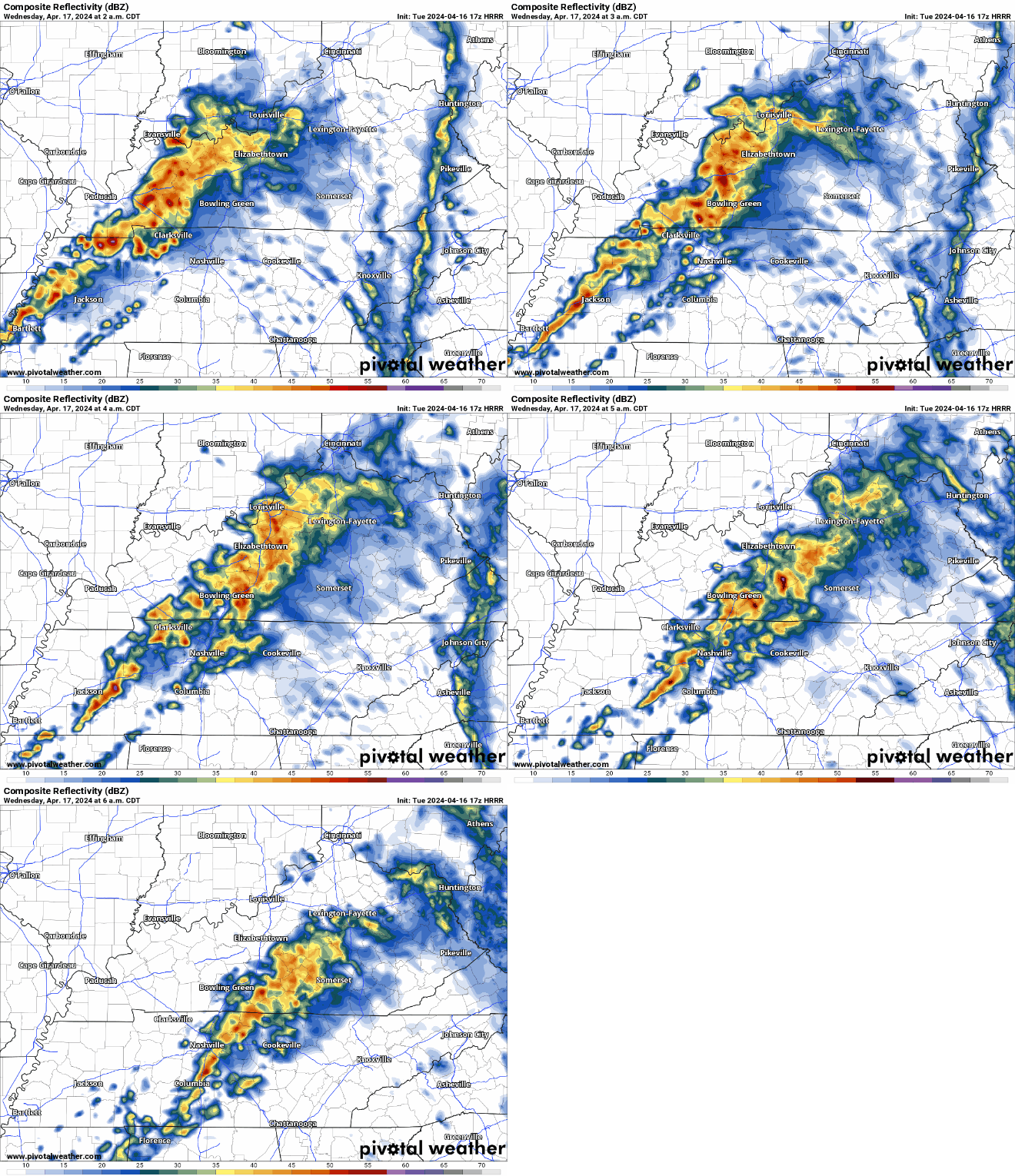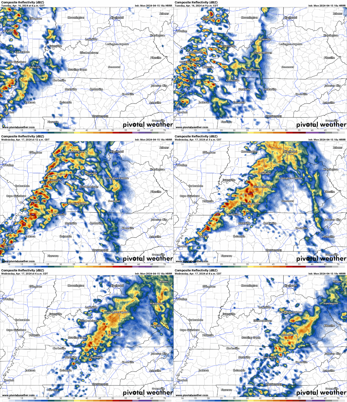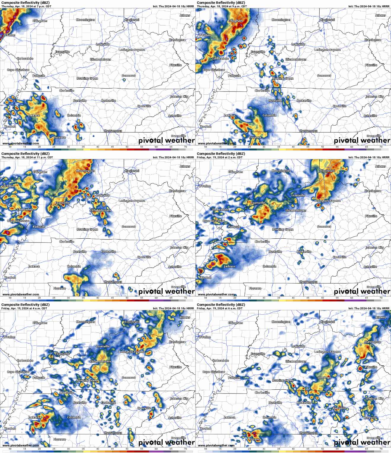
Watching early next week for some potentially bumpy weather. Few/no specifics available at this point. Currently, a 15% chance of seeing severe weather within 25 miles of you. Stay tuned.

Watching early next week for some potentially bumpy weather. Few/no specifics available at this point. Currently, a 15% chance of seeing severe weather within 25 miles of you. Stay tuned.

Temperatures will get down to around 34° tonight, therefore a Frost Advisory will be in effect for early Thursday morning. “Frost could harm sensitive outdoor vegetation. Sensitive outdoor plants may be killed if left uncovered.” – NWS Nashville
Thursday – tomorrow morning – from 3A – 9A. “Frost could harm sensitive outdoor vegetation. Sensitive outdoor plants may be killed if left uncovered.” -@NWSNashville
Wed Thursday ✅
Dry week ahead. No rain chances to speak of until early next week.

Several chilly mornings ahead of us, but a warming trend throughout the week.
Easter weekend looks warm, highs in the upper 70s.
The warm forecast may tempt you to plant, but I’d recommend holding off until around Tax Day. Never know around here.
Latest updates this evening/overnight will be over on X (Twitter) @NashSevereWx. See you there!
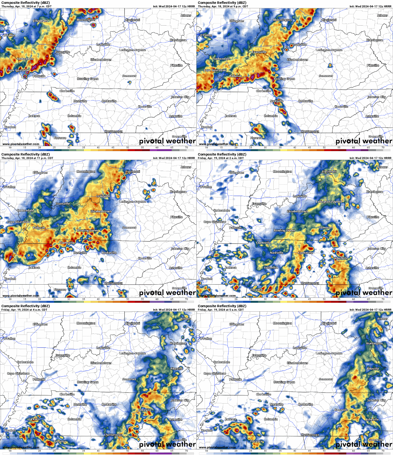
Next round is light rain. After that, weakening storms. No svr weather.


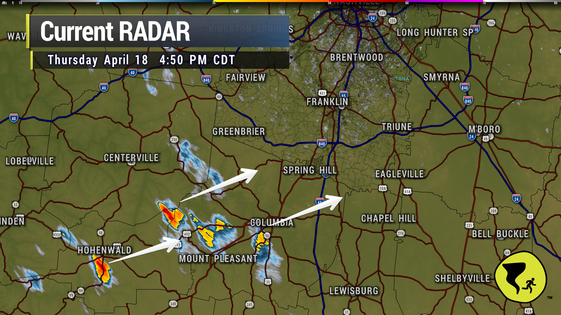
Some heavy rain coming through Franklin. Brentwood and Nolensville next. Then, a break of sorts. Still expecting additional storms later that are about to cross the MS River into W TN.
This is a lot of lightning for not very much rain. Most of it is CG so head inside (cloud to ground). 752 PM

Couple of heavier downpours approaching Nolensville, Brentwood and W Franklin. Just a good ole regular thunderstorm. We like being able to say that. 7:42 pm

Several CG (cloud to ground) lightning strikes slowly incoming. Head inside.

You must be logged in to post a comment.