

Very warm today and tomorrow. Record high temps for BNA are 87° and 88° for today and tomorrow, respectively. Not quite sure we’ll make it to either of those, but it’ll be close.
We could see some light showers early Tuesday morning, but these will be light and NBD.
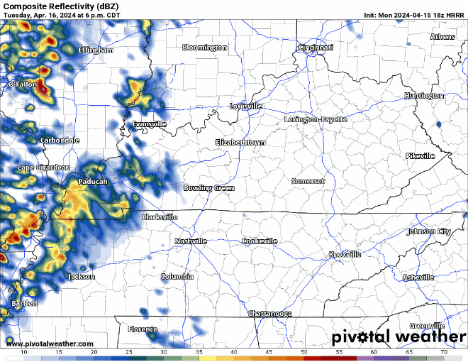
“Better” rain/t-storm chances will arrive Tuesday evening according to the HRRR.
Rain may holdoff late enough to avoid any early afternoon rainouts, but evening rainouts look possible. No severe weather expected, but a few rumbles of thunder are possible.
Wednesday afternoon/evening we could be dealing with some strong to severe storms.

The Storm Prediction Center has outlooked both our counties in a 5-14% chance of severe weather within 25 miles.
The ingredients for severe weather seem to be in place, but a cap (our friend Ned) might be aloft, prohibiting any storms from forming.
“…forecast soundings are showing a stout capping inversion present across our area – so it remains unclear how much if any shower or storm activity we will see. However, most guidance indicates the cap should weaken enough with daytime heating, a glancing blow from the upper low, and the approaching front to allow for at least isolated showers and thunderstorms Wednesday afternoon/evening.” – NWS Nashville
IF, big if, the cap is able to erode, a low-end chance of all hazards (damaging winds, hail, and a tornado) would be possible Wednesday afternoon and evening. There is a lot of uncertainty, be sure to stay connected for future updates!
We should get a break early Thursday before more rain/storm chances arrive Thursday afternoon thru Friday. As of right now, any storms are expected to stay below severe limits.
The temperature dial should turn down a couple notches as we head into the weekend.
Categories: Featured Blog