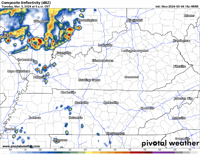
Rain moving out. Mist and drizzle for the morning commute. Radar at 5:54am.
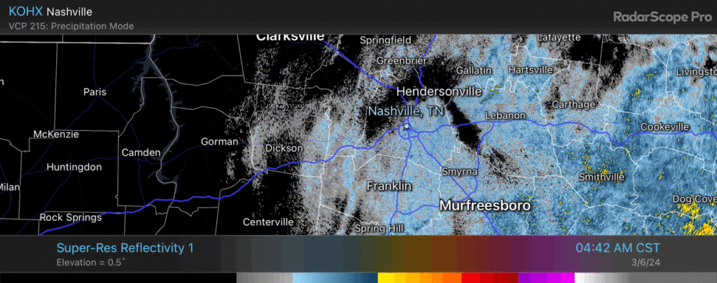

Rain moving out. Mist and drizzle for the morning commute. Radar at 5:54am.
More rain expected overnight. No severe worries. We good, fam. 🛌.
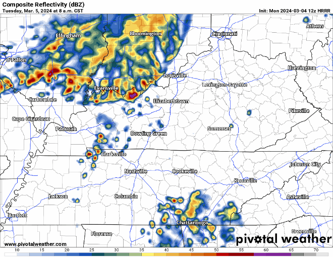
Some more rain tonight and early Wednesday morning.
Rain jacket or umbrella may be useful for your AM commute to school/work, but don’t think you’ll need it for the way home. A couple showers can’t be ruled out during the day tomorrow, but they’d be no big deal.
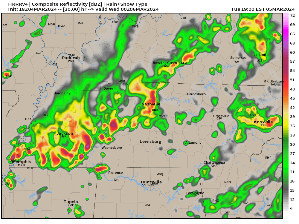
Rain off and on today and tonight. HRRR backed off on lightningstorm threat tonight. No severe weather or flood concerns.
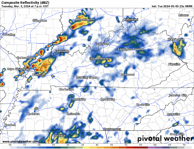
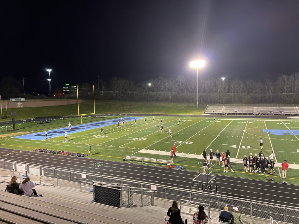
Lacrosse, pickleball (I need a partner), kite flying won’t be possible this time tomorrow night if the HRRR model is correct. ⚡️🌧️
Majority of us have been able to stay dry today, and likely will remain dry thru the remainder of the day.
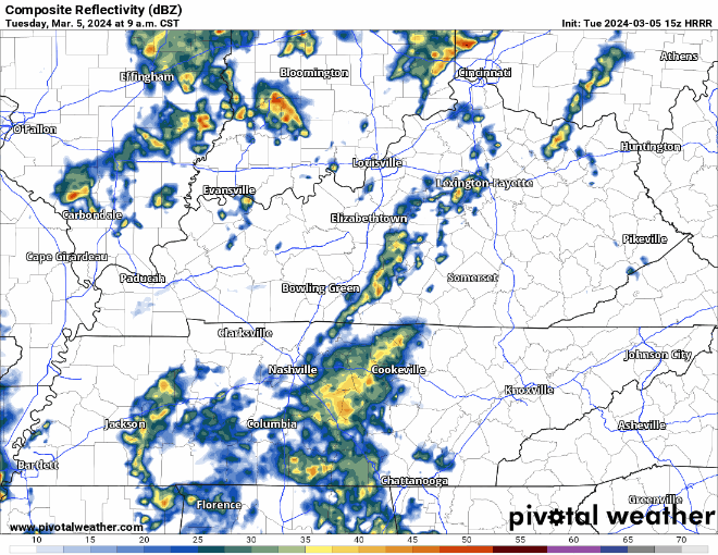
The same cannot be said for Tuesday, as showers are storms look likely throughout the day.
(Heads up: this gif file size is fairly large and may take a while to load)
Rainouts, lightning possible Tue night. Iso shower possible Tue AM. Main rain/storm event late afternoon-evening. No severe worries atm. ETAs via HRRR model, subject to change.
Avg total rainfall 0.5″ to 0.75″ well below flood concern levels.

Remembering again Mike + Albree, loved so well by family and friends.

Nice day today. Warm temperatures will continue throughout the week, but the dry conditions won’t.
Thankfully Monday will only have scattered shower chances. Majority of us will be dry most of the day.
Dense Fog Advisory. #LowBeams
You must be logged in to post a comment.