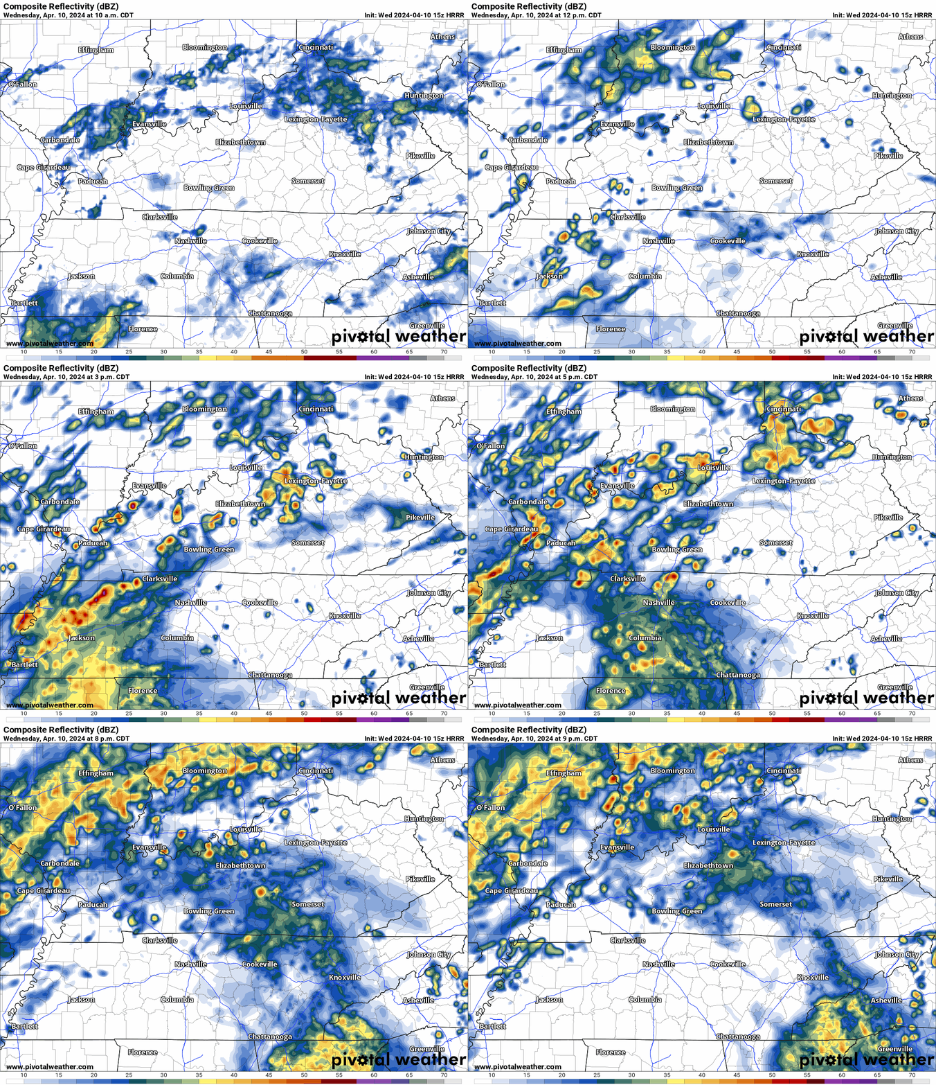
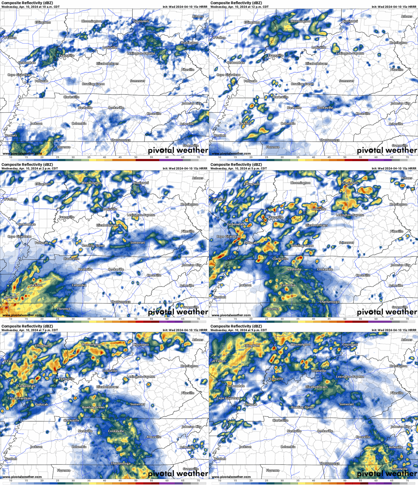
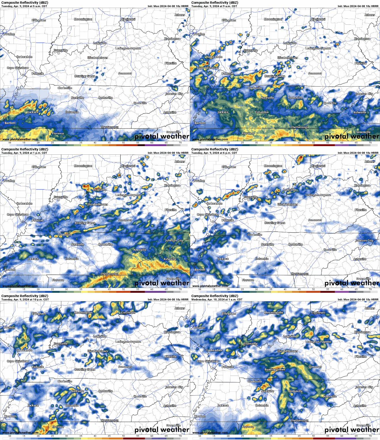
The HRRR expects rain to move up into our two counties by the afternoon. May slide east or west so local results may vary. If you have plans tonight, keep an eye on the radar.

The HRRR expects rain to move up into our two counties by the afternoon. May slide east or west so local results may vary. If you have plans tonight, keep an eye on the radar.
Mostly dry evening in store, a shower or two can’t be ruled out though. A rain jacket or umbrella will suffice for any outdoor plans this evening.
Wednesday we’ll deal with more rain/storm chances, a couple of storms could be on the strong to severe side.
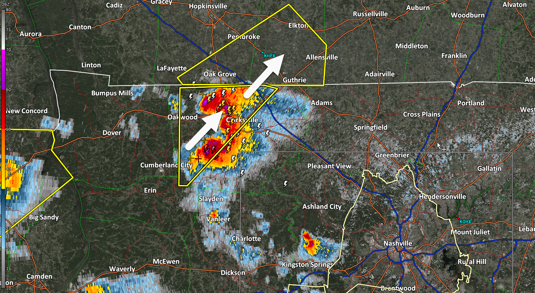
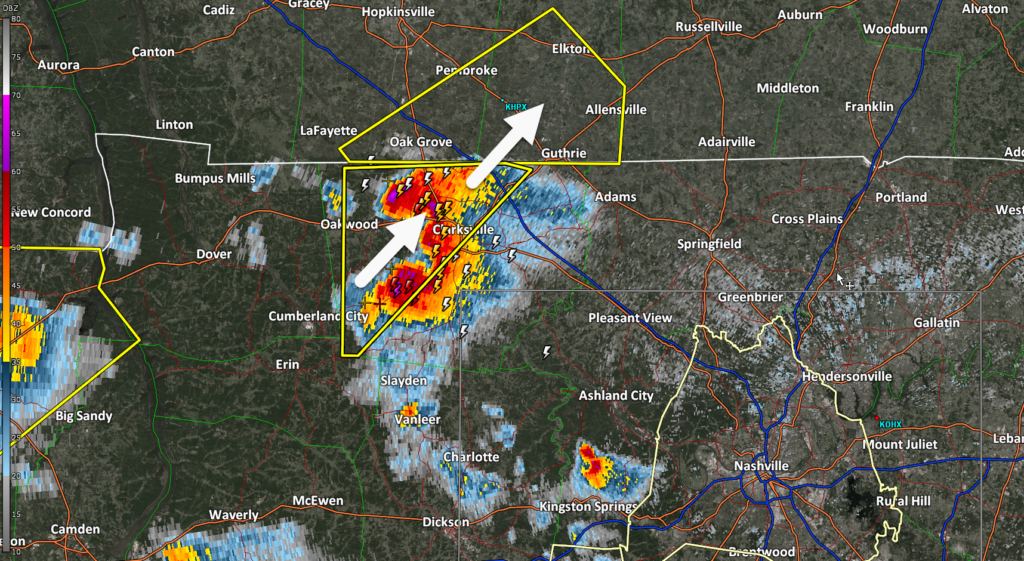
Travel Alert: Large hailstorm about to cross I-24 near Clarksville, TN/KY line. If you’re coming back from the eclipse and stuck in traffic there, maybe pull off. This storm is legit.
Current hailers in West TN are expected to stay west of us, but a few showers/storms cannot be ruled out tonight. Some gusty winds and small hail aren’t out of the question, but storms are expected to remain below severe limits tonight.
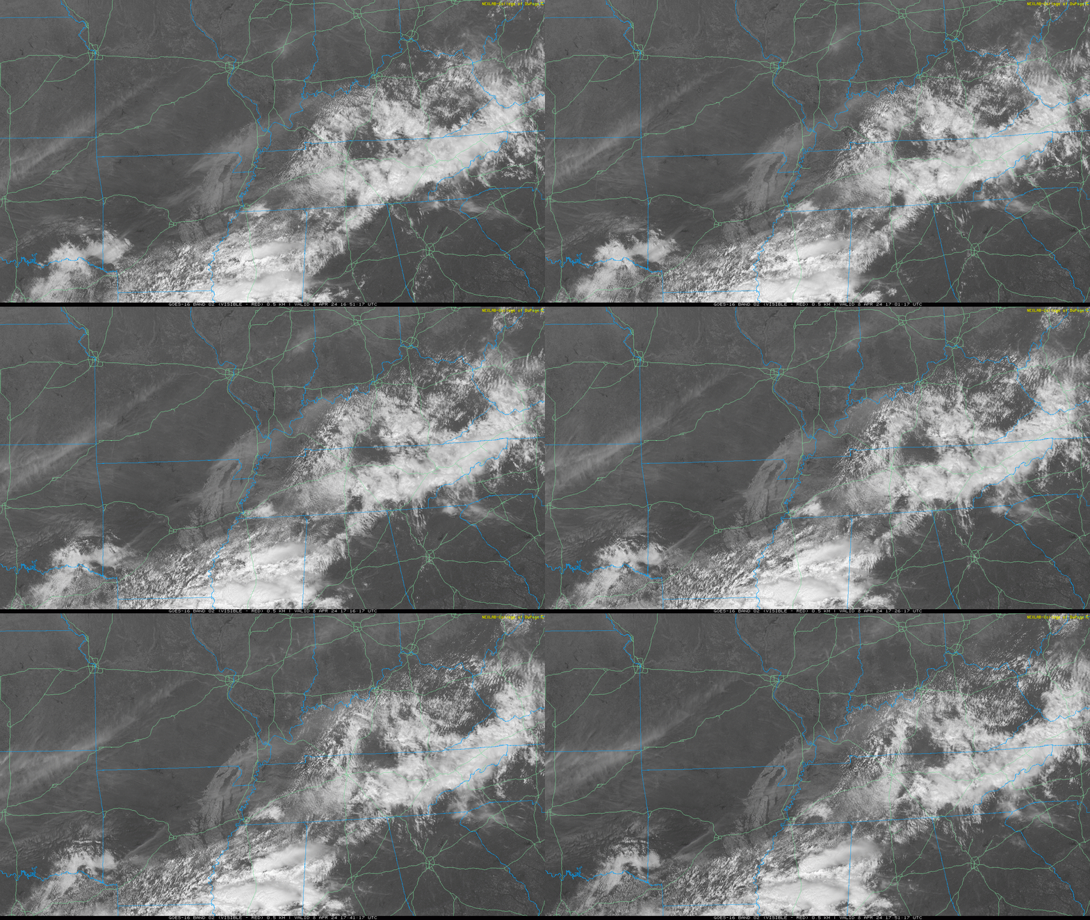
1:00 PM cloud update. Most of us will get Adventure Science Centered. Partial Local Eclipse in just over an hour.
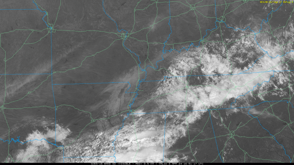
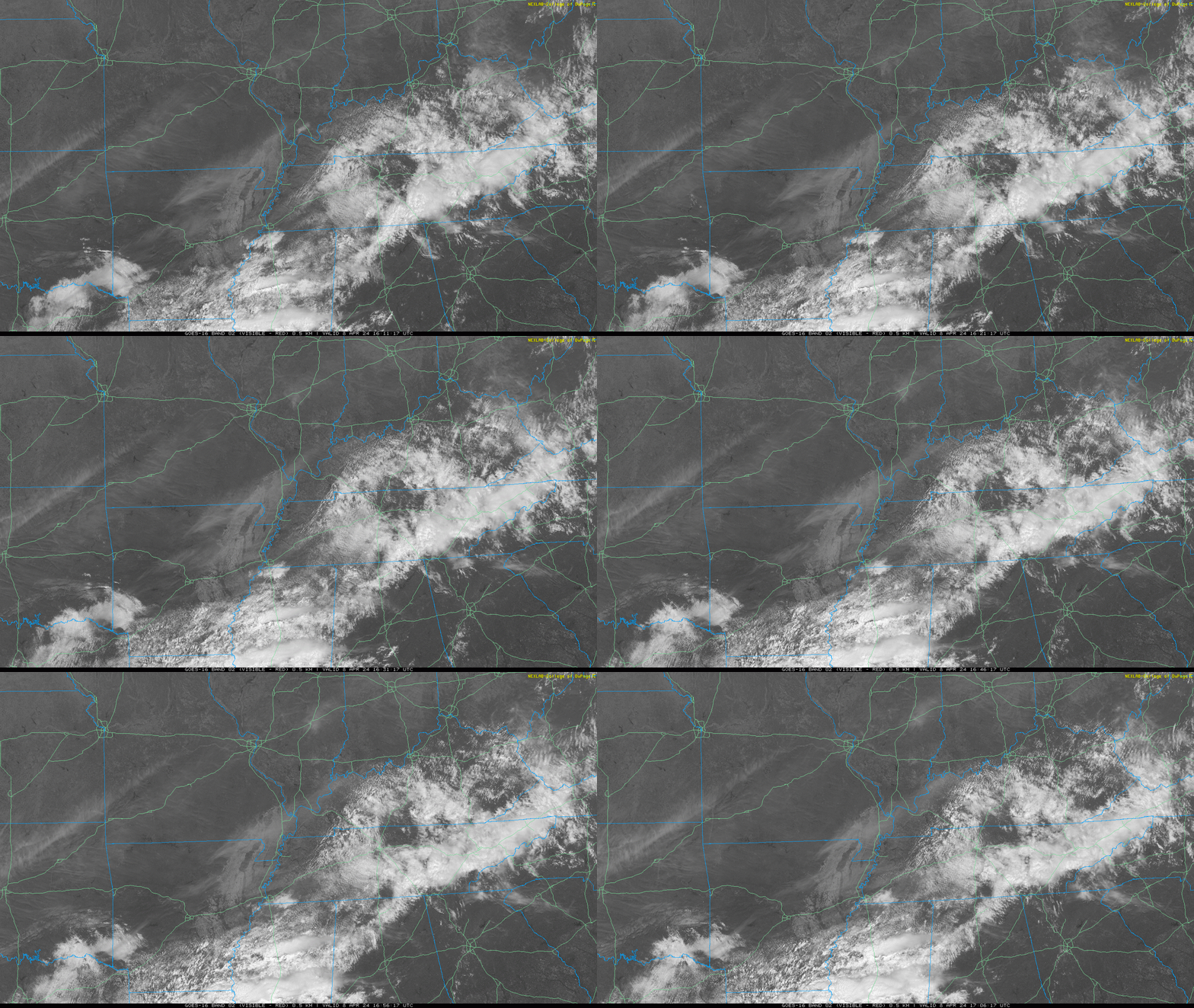
Noon cloud update. Partial eclipse in 2 hrs.
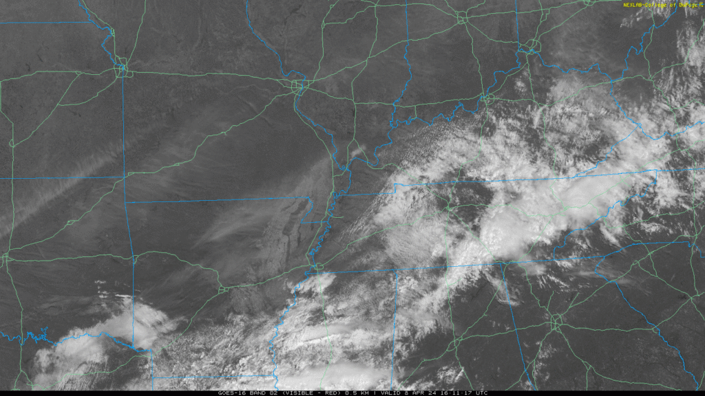
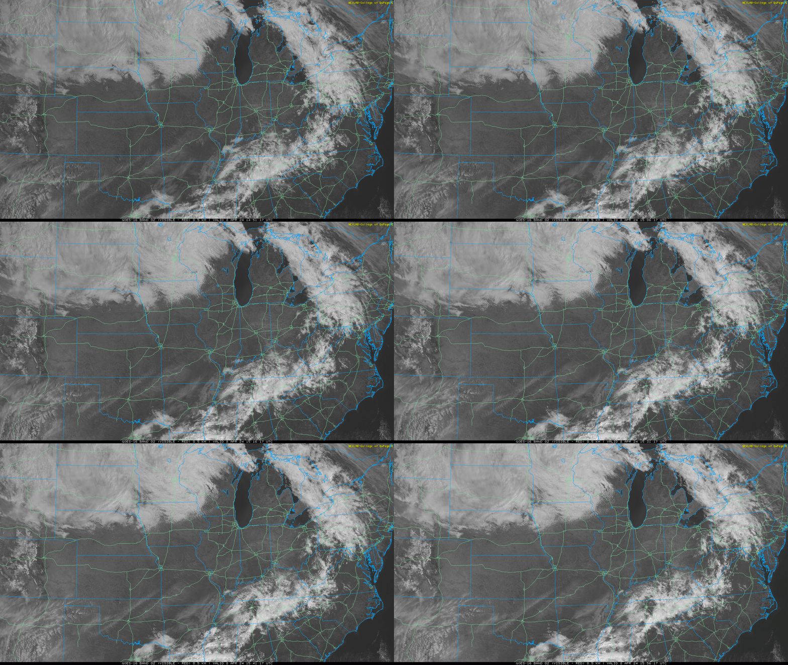
11 AM satellite update. Eclipse in 3 hours. 2:06 PM is what I’m reading.
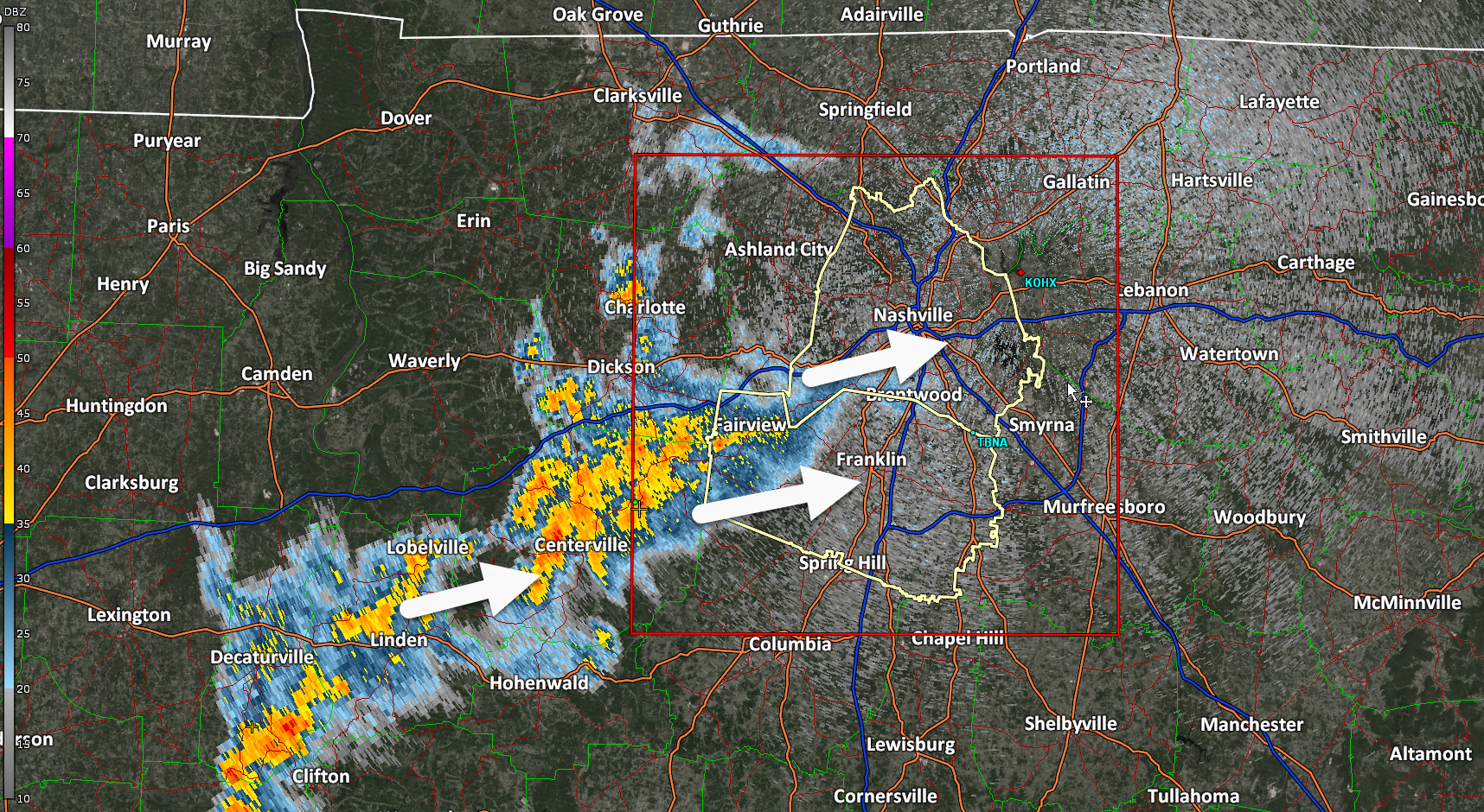
No concerns. Go back to sleep. Rain, infrequent lightning coming through. Winds are fine. No hail. No chance of tornado. We good, fam.
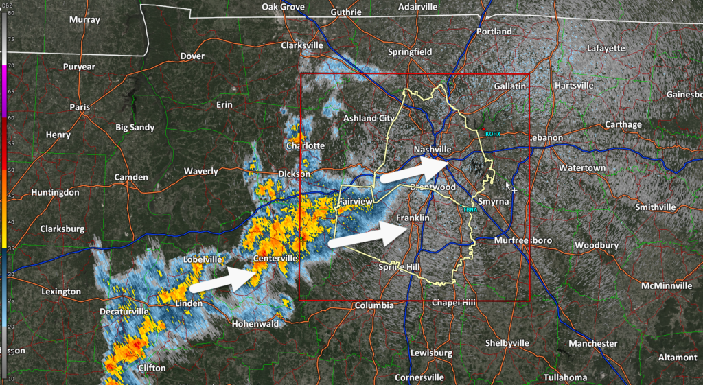
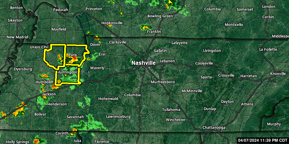
Weak thunderstorms on radar. Not a big deal. Go back to sleep if they wake you.
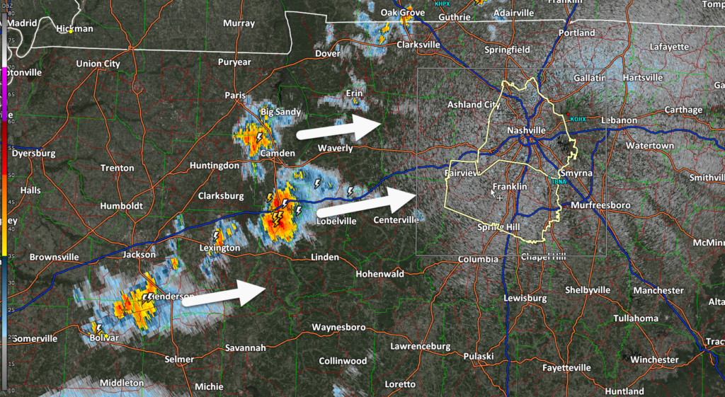
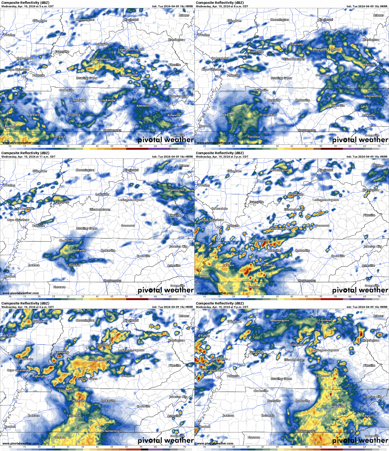
Storms in West TN will slowly make their way over tonight. Thankfully, they should lose their steam and we are not expecting any severe weather tonight.
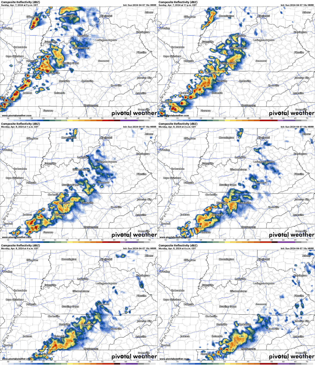
HRRR model (above) has an ETA of around midnight tonight. You may hear a rumble of thunder, but no worries. Rain should exit before Monday AM rush hour.
You must be logged in to post a comment.