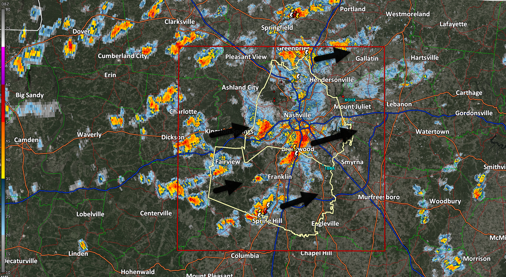
1217 PM Heavy downpours are all either producing lightning or lightning-capable. No tornado concerns.

1217 PM Heavy downpours are all either producing lightning or lightning-capable. No tornado concerns.
Monthly tornado siren test in Davidson County is at noon. No worries.
PSA: No tornado concerns today. Any sirens today are ONLY a TEST. 1139 AM.

All storms now lightning capable. Getting cloud to ground strikes now near Bells Bend. 1137 AM
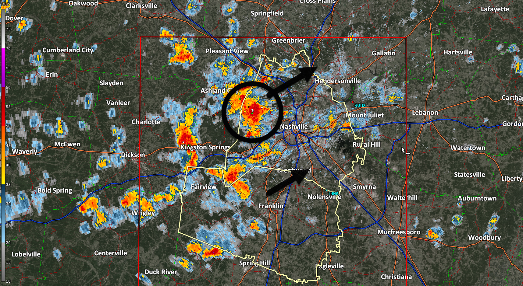
At 1033 AM pop up downpours freckle local radar. No lightning detected so far.

In this edition: weekend rainout potential, off/on storms this week, severe weather potential late Weds – early Thu.
Pop up storms possible today but without a spark to set them off we think most of us will be rain/storm free Saturday. Dewpoint 66° as I publish which is, yeah, summer’s coming.
PSA: First-Saturday-of-the-month tornado siren tests are today. Noon in Davidson. 1:00 pm in Williamson.

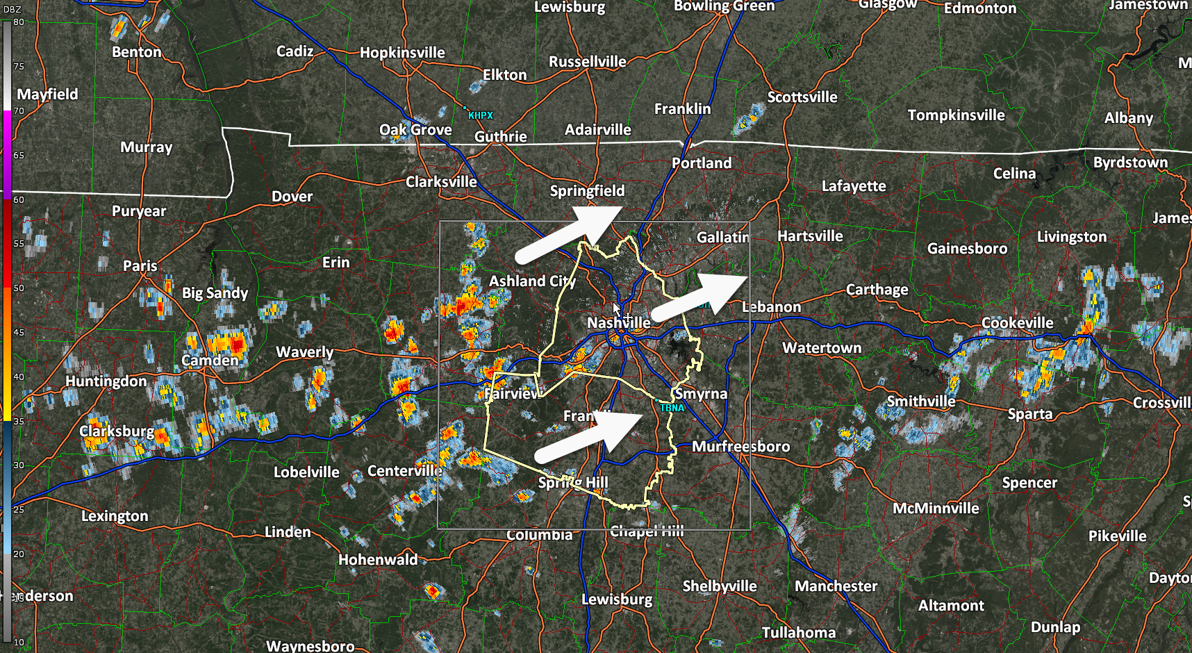
Isolated non-severe thunderstorms are possible throughout the evening. Most of us should stay dry, but a few unlucky folks may get caught in the rain.
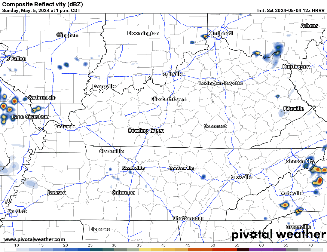
The HRRR model gives its’ best guess at what we could be dealing with tonight, but models have a tough time handling these situations very well.
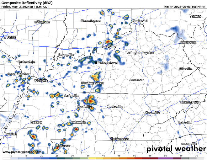
Downpours (feat lightning potential) off and on today in various random parts of Nashville and Will Co this afternoon and tonight. That’s the HRRR story, anyway. May the odds be ever in your favor.
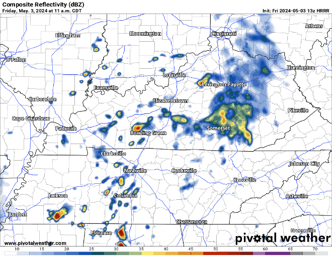
Outdoor festivities 🤝 rainiest time of year. Worse, models struggle with timing and placement of these storms. Severe unlikely. Downpours, lightning the hazards. But most of us should be clear most of the time.
You must be logged in to post a comment.