
In this edition: weekend rainout potential, off/on storms this week, severe weather potential late Weds – early Thu.
Pop up storms possible today but without a spark to set them off we think most of us will be rain/storm free Saturday. Dewpoint 66° as I publish which is, yeah, summer’s coming.
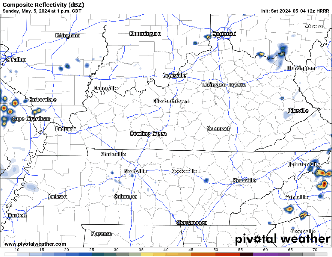
Sunday different: HRRR below has storms mid afternoon then a line of thunderstorms Sunday night after dark. Timing vague because timing unreliable. Severe unlikely. Downpours, lightning the hazards.

Off and on rain/storms this week. Nothing particularly notable except …
Storm Prediction Center indicates potential for severe thunderstorms late Wednesday overnight into Thursday morning.
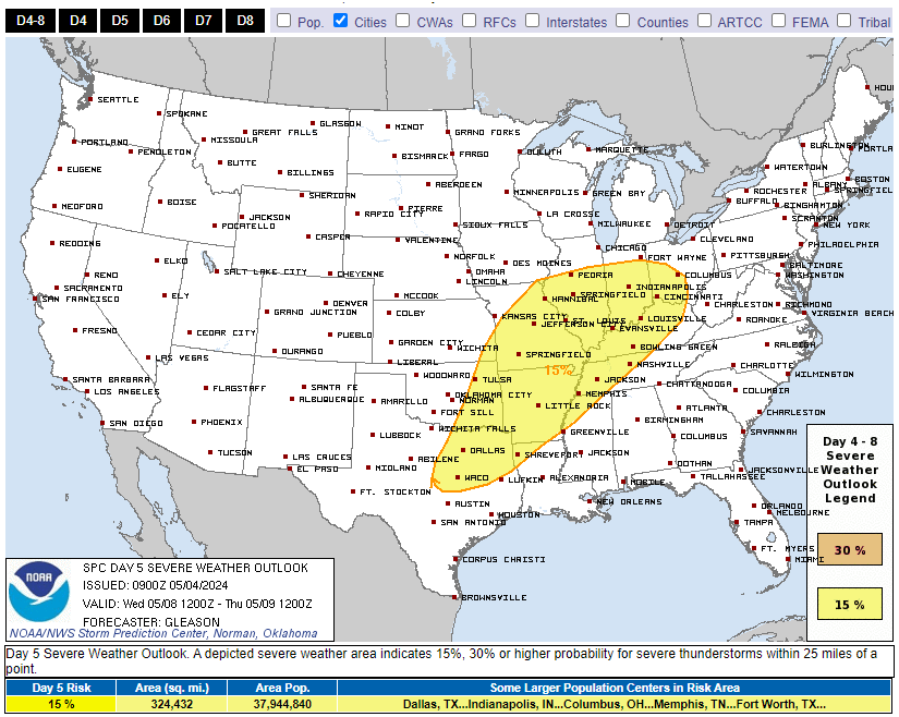
Euro model depicts a low in central Illinois. If this data verifies and other factors sequence, hail, damaging straight line winds, and tornado would be possible. Way too far away to “believe” this data, so no need for any panic at all at this range, just something to watch.
Categories: Tweet