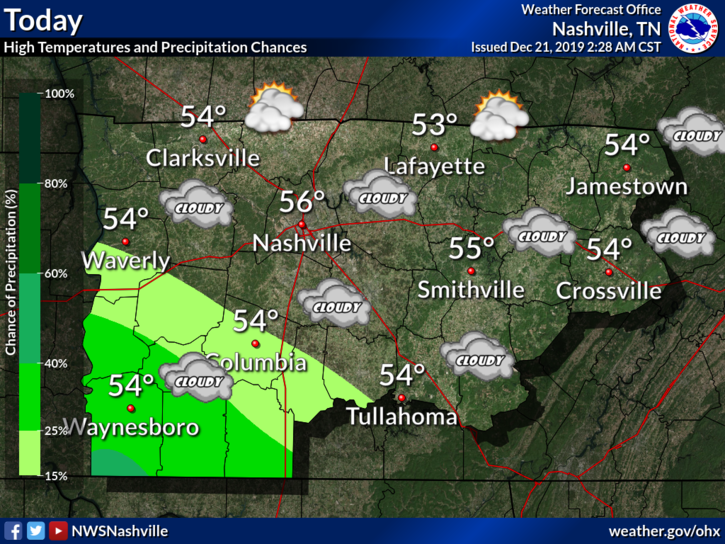
1″ to 2″ of rain today. Widespread flash flooding not expected. But area creeks, streams usually prone to flooding may be up tonight and Monday morning. *Looks at Mill Creek in Nolensville*

1″ to 2″ of rain today. Widespread flash flooding not expected. But area creeks, streams usually prone to flooding may be up tonight and Monday morning. *Looks at Mill Creek in Nolensville*
Today began with a good misting of rain for many of us.
That rain has pulled out and taken some of the cloud cover with it, but it won’t last long.
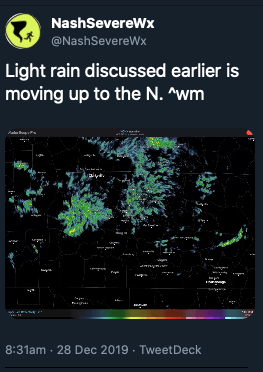
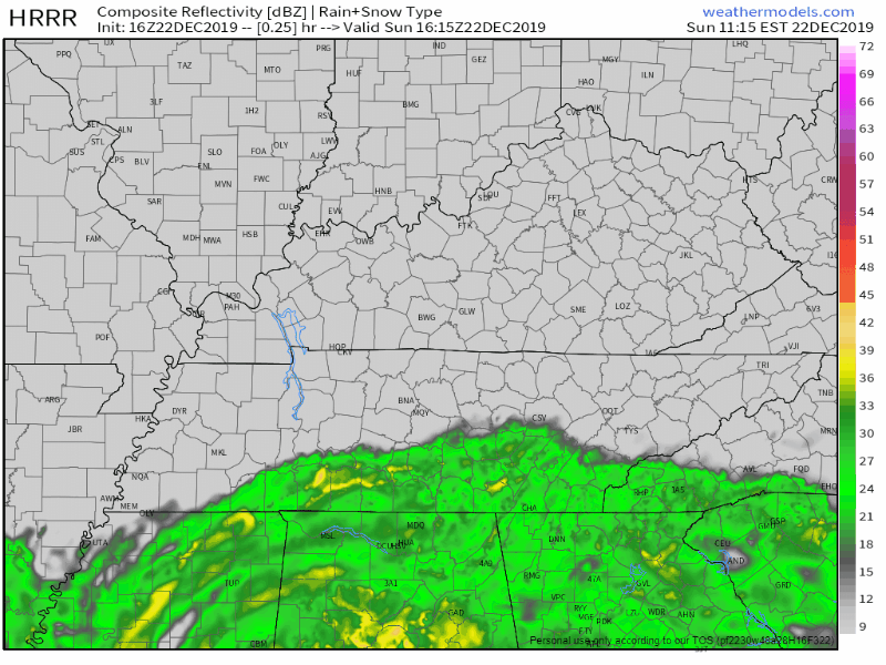
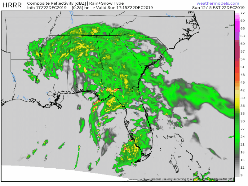
Here is a wide angle view of the radar at 12:35pm showing more light showers similar to this morning on our SW doorstep.
This won’t ruin any plans, but it will make the roads wet again, and usher in some cooler temps while it’s overhead. Bring a rain jacket to the honkey tonks tonight.

An upper low will deepen as it swings off the Rockies and through the central part of the country. Southerly surface flow will pick up ahead of this system encouraging temperatures to warm into the mid to upper 60s again on Sunday. PWATS are still running very high for the time of the year. Values of 1.5 inches or higher could be possible through the early morning hours on Sunday to Sunday night. Models have shifted the axis of heaviest precip to the west, over portions of west Tennessee and western Kentucky. However, this axis could easily wobble east or west over the next 24 hours as we see how the system evolves. For now, expect anywhere from 1 to 2 and a half inches of rain in Middle Tennessee.
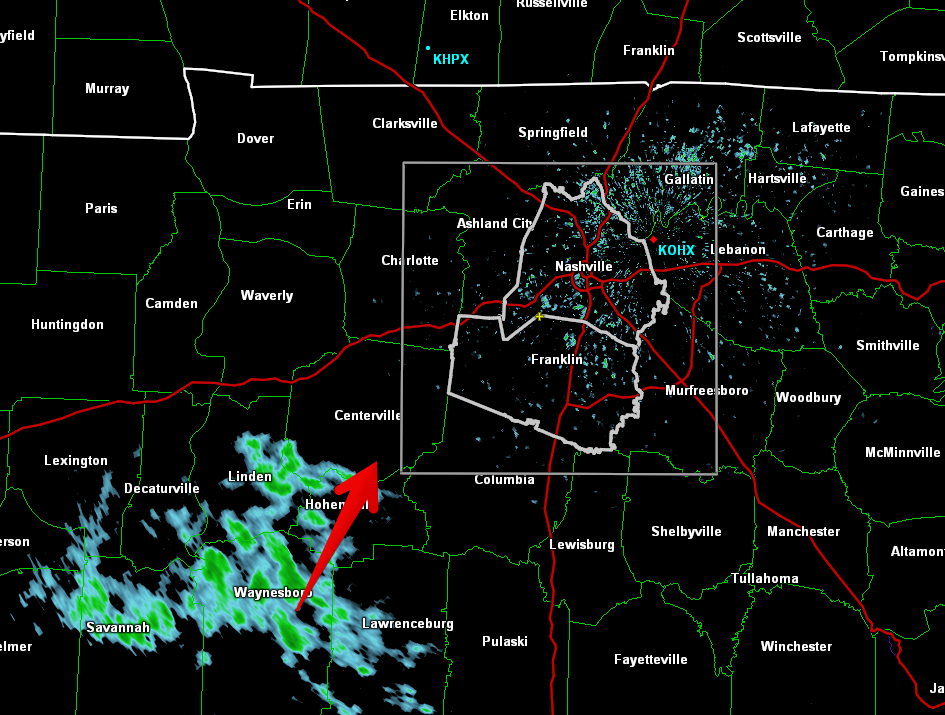
A few showers are showing up on radar this morning and on the HRRR model for this afternoon:
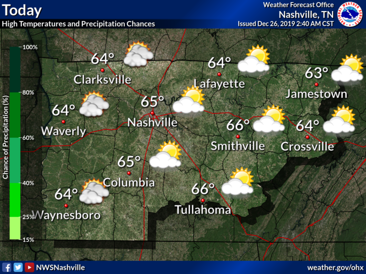
Most of us will stay dry throughout the afternoon, just a little trace of precipitation by the end of the day. Temperatures will be a lot like yesterday’s, high around 64°.
Nice overall with some clouds hanging out:
Friday generally looks the same as Thursday with a high of 64°.
Some sprinkles are possible. Most won’t feel any and if you do, they will be very light and brief.
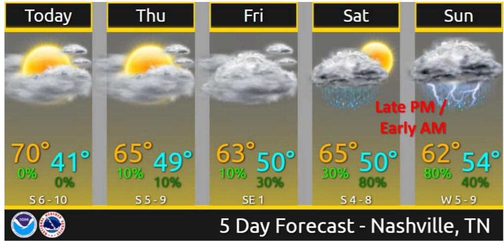
No Christmas or Day After Christmas rain.
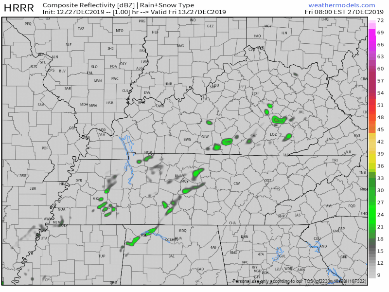
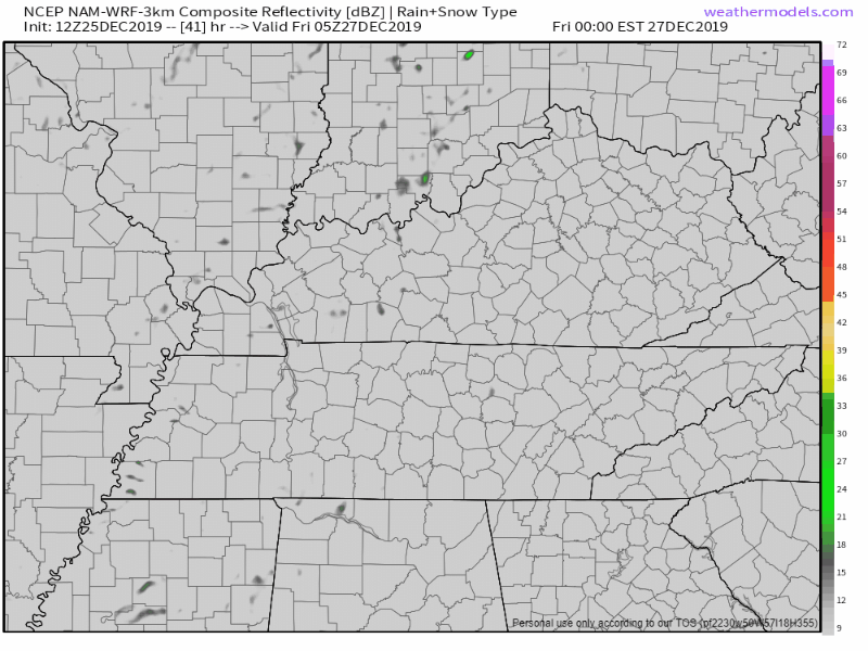
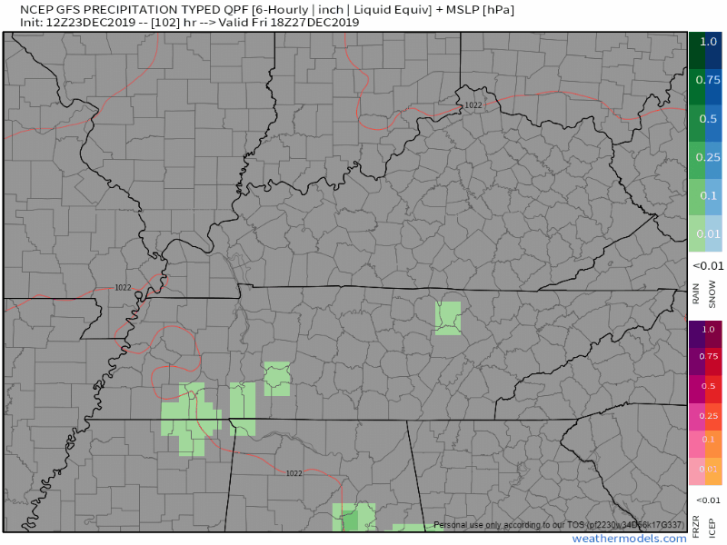
Rain possible Friday but I’m unimpressed. NAM3 model shows a few weak inconsequential rainers:
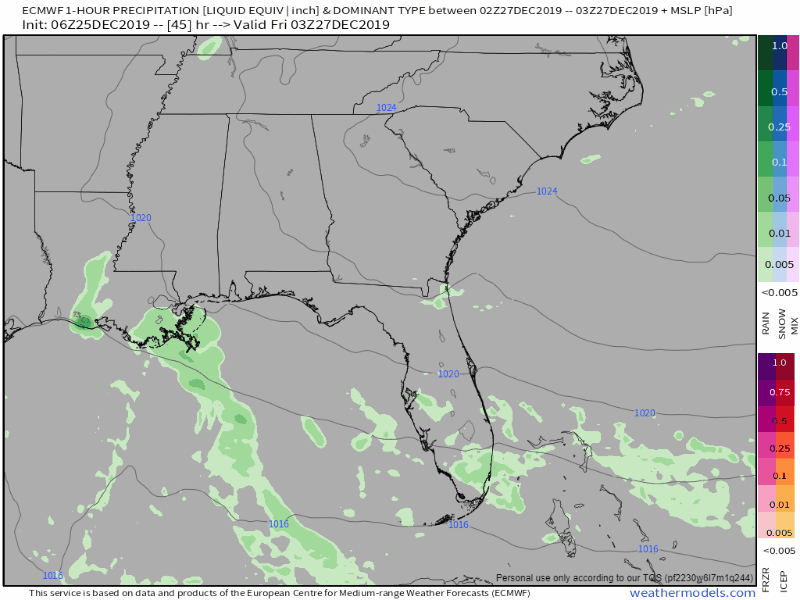
Euro shows a few light rainshowers in spots:
This should not deter your Friday outdoor plans.

Sunny with a high of 70°. In other words…
Is it really already Christmas? It won’t feel like it though as high temps reach 72°.
… while we won`t have a White Christmas, it`s going to be a warm one. Someone want to call Santa and let him know to wear shorts?
NWS-Nashville Afternoon Discussion, 12/24/19
Partly sunny with a high of 70°. I’m loving this.
We’ll start to see more and more of breaks in the clouds as we progress through the mid afternoon. Rain for this afternoon will stay off to our East as it pushes out of the area. Now that the sun’s out, temps have risen quickly. We’re up to a balmy 67° at BNA as of 1:00 pm!
We’re getting rain from the northern edge of a system passing south of us. High 58°.
HRRR model thinks rain will continue tonight, overnight, ending before sunrise Monday.
The NAM3 model has showers fizzling out Monday morning, but for a bit longer, ending before lunch:
We have a blanket of clouds over us today. This is out ahead of our next chance at rain.
Clouds should keep our high in the mid 50°s. Rain should keep away for today.
This system will mainly keep to our south. Model guidance is shaky for how this moves north. The further north this system tracks, the more rain we are likely to see.

Today’s skies are forecasted to clear, with mild temps and more sunshine. I wouldn’t be surprised if we exceed our forecasted high of 51º if these clouds give way.

Overnight low is down to 36º as clouds move back in overnight and trap the heat like a fluffy comforter.

Saturday’s temps will be may a few degrees warmer, up to 54º. However, the could that moved in overnight will stick around. Call it mostly cloudy by afternoon. These clouds set the stage for our next chance of rain.
Sometime the best models we can use to predict rain have disagreements. Actually, it’s more than sometimes. It’s something we struggle with when doing blogs like this, and something the National Weather Service is dealing with this disagreement today.
Most of the current iterations are giving southern and southeastern Middle TN some showers by Sunday. The problem is, the GFS is dry, the Euro is kinda wet and the NAM is giving all of the mid-state a deluge.
You must be logged in to post a comment.