
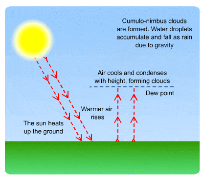
Sunny Thursday
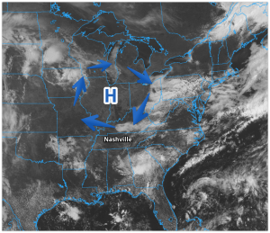
High pressure has built into Tennessee, keeping the clouds away.
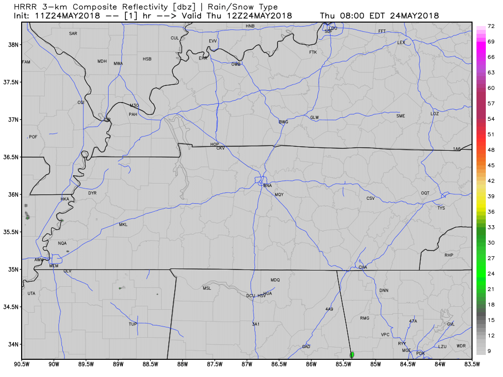
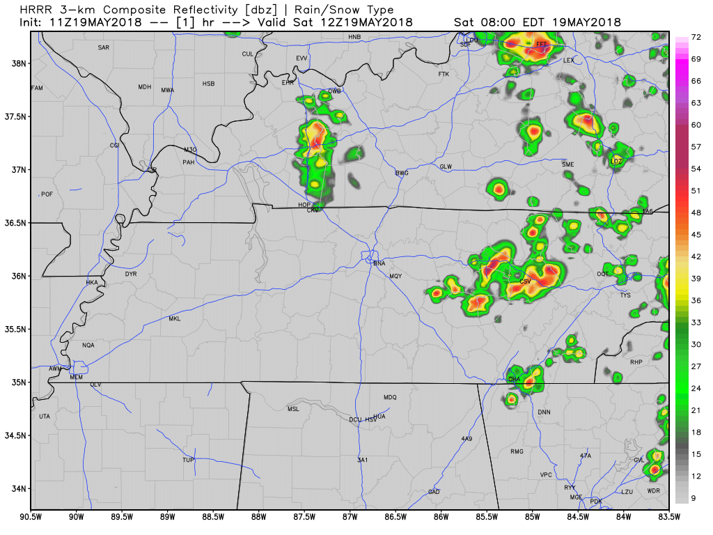
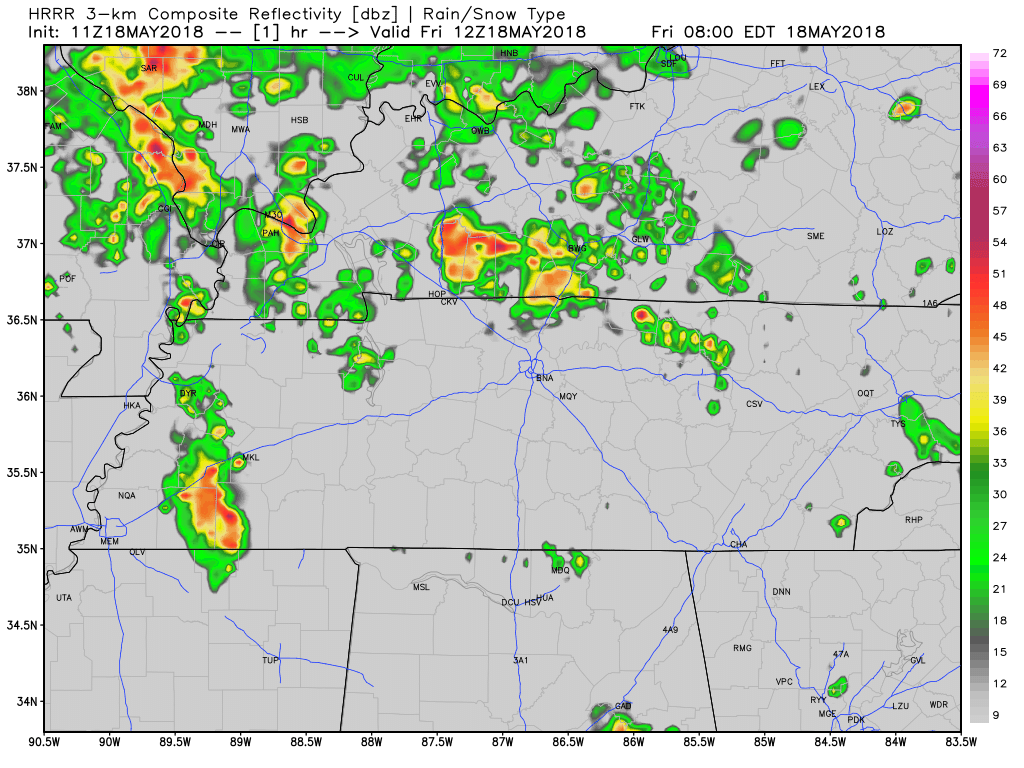
The HRRR model, below, shows some rain forming all around us, but nothing in Davidson or Williamson Counties.
Without clouds to shade us, temps are going to hang around in the 80s for much of the day, topping around 90, and although it’ll still be humid, it won’t be as humid as it was yesterday.


You must be logged in to post a comment.