
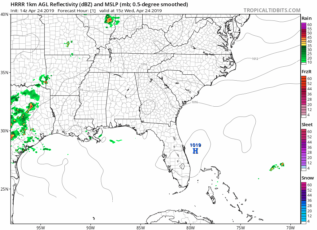
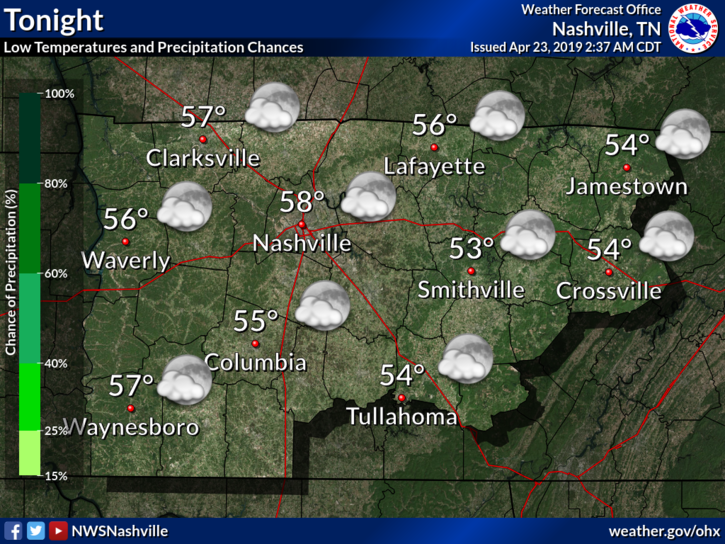
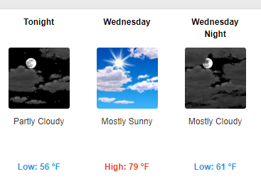
Today: Warm, Potential for Scattered Showers
Today we can expect to see mostly sunny skies with a high of 83°.
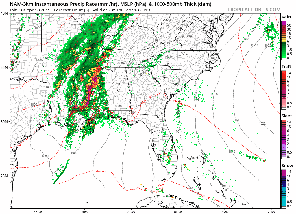
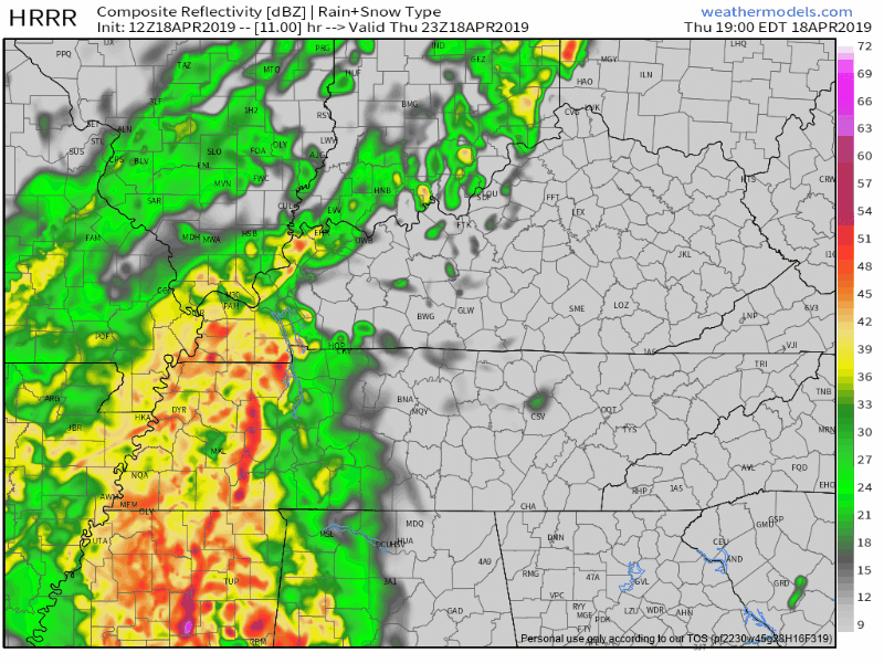
There is the chance for a shower or two, though they are more likely to pop up in the late afternoon/early evening hours. The HRRR doesn’t show any showers here, but a front boundary (responsible for the potential shower or two) could drop close to the TN/KY state line. I would carry an umbrella just to be on the safe side. Tonight, lows drop to around 61°.

You must be logged in to post a comment.