

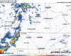
So far today, most of the rain have been missing us to our south. I think this will be a common theme throughout this evening but can’t totally rule out a quick shower for some later.
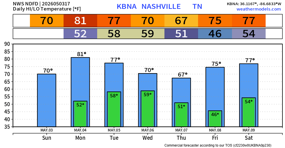
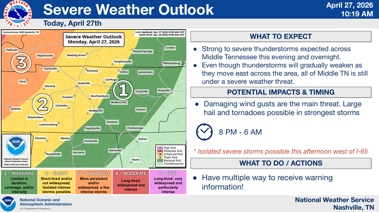
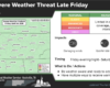
Yesterday we discussed the possibility of an overnight round of showers/storms. This still hold true; however, there’s a low-end chance a storm or storm is strong to severe.


You must be logged in to post a comment.