
Nice weather will continue thru the end of today. Warm and dry.
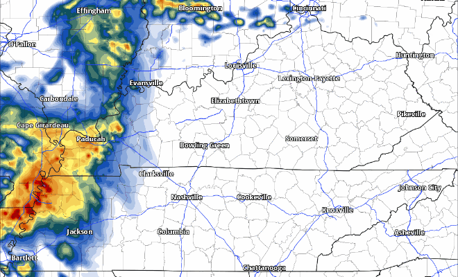
Rain chances return sometime midday on Tuesday. Majority of the rain will stay to our N. Perhaps not a total washout.
HRRR model gives an educated guess, far from perfect:
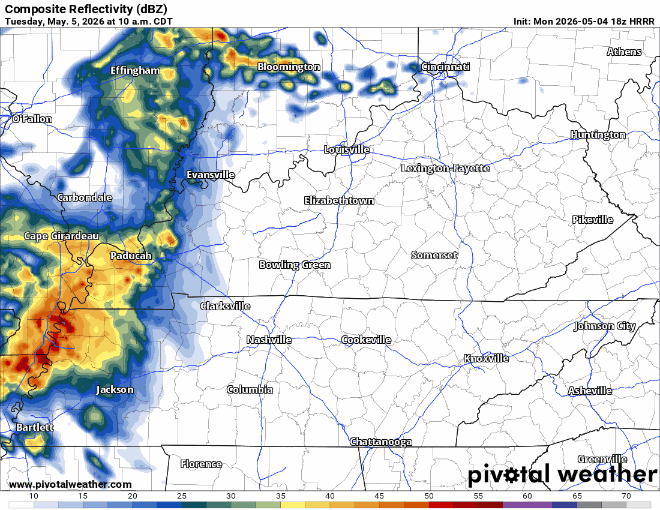
The next “push” of rain we get looks to be overnight Tuesday into early Wednesday morning. No severe weather is expected but can’t rule out a rumble of thunder waking you/your kids/your pets up.
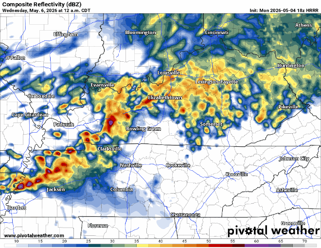
And last but not least, the last round of showers/storms should move in sometime Tuesday afternoon/evening. There’s a good deal of uncertainty regarding this round. How our atmosphere recovers from the morning round of storms will dictate how our PM ends up.
We’ll be watching where the warm front sets up as well. Wherever it does, along and S of it will have a low-end chance of severe weather. Models are a bit all over the place on where they think it’ll end up. Time to embrace the uncertainty.
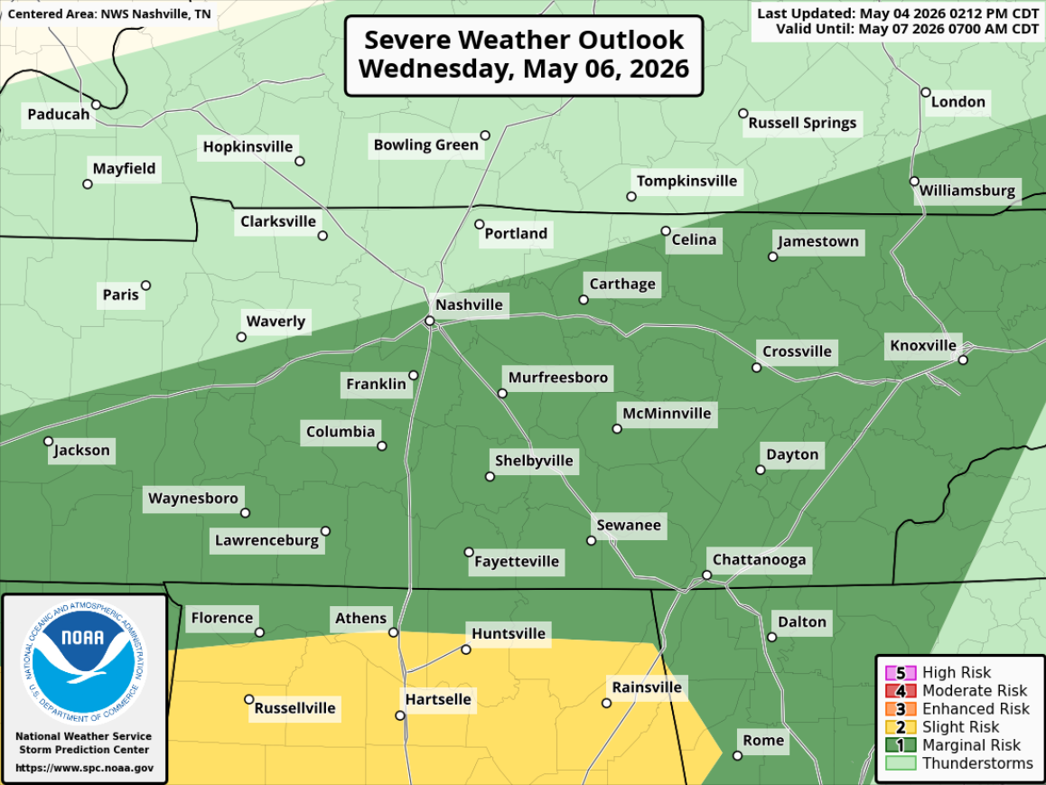
The good news, the higher severe probabilities exist to our SW. The other good news is that both the global models (GFS and Euro) are hopeful that Bruno Mars stays dry. I’d like to see the opinions of the high-res models to build on that confidence, but that’s a start.
We can start to get more specific on that starting tomorrow as the high-res models come in. Stay connected!
More good news is that we’ll be getting some much-needed rain from this. Generally, somewhere between 1-2″ is most likely, we should avoid most flooding concerns but can’t rule out some localized flash flooding under the heavier showers.
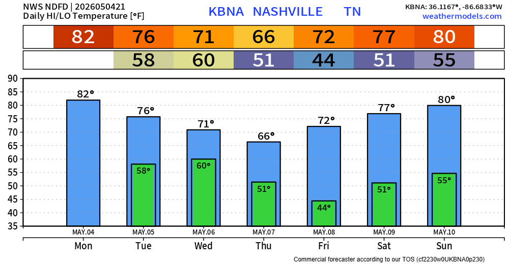
We dry out on Thursday and remain dry until probably Sunday, with high temps staying mild.
Categories: Featured Blog