
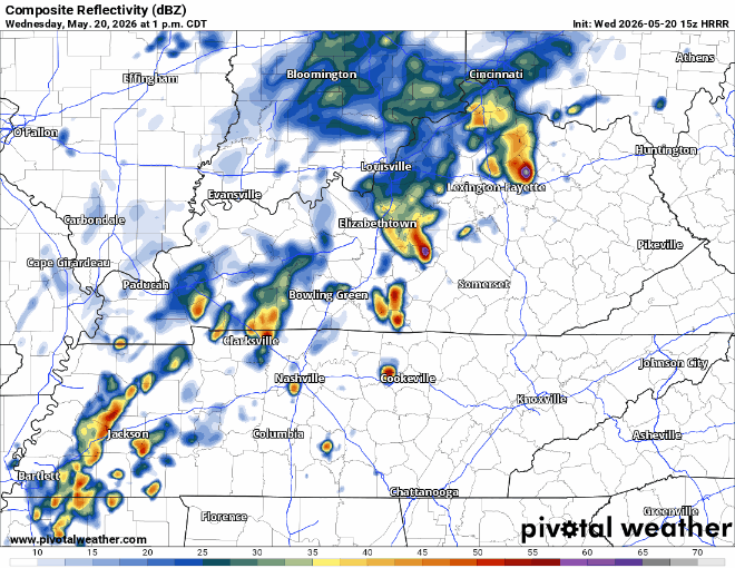
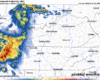
There will be a brief window for severe weather potential this afternoon.
Specifically, there is a 5% chance of damaging straight-line winds and a 2% chance of a tornado, both within 25 miles.
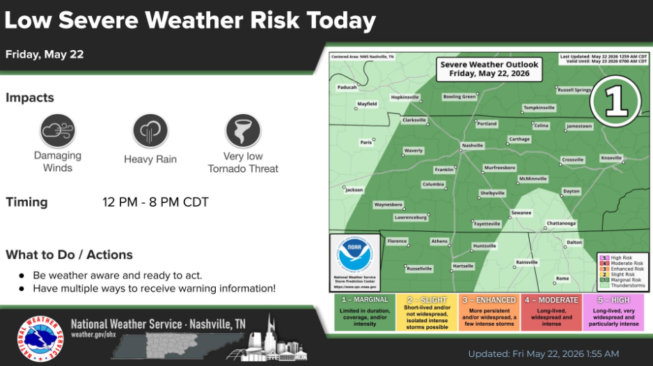
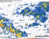
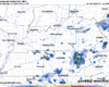
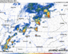
Scattered showers and storms will move in from the S/SW (a little different than usual), providing an opportunity for not only the needed rain but a very low-end severe weather threat.


You must be logged in to post a comment.