
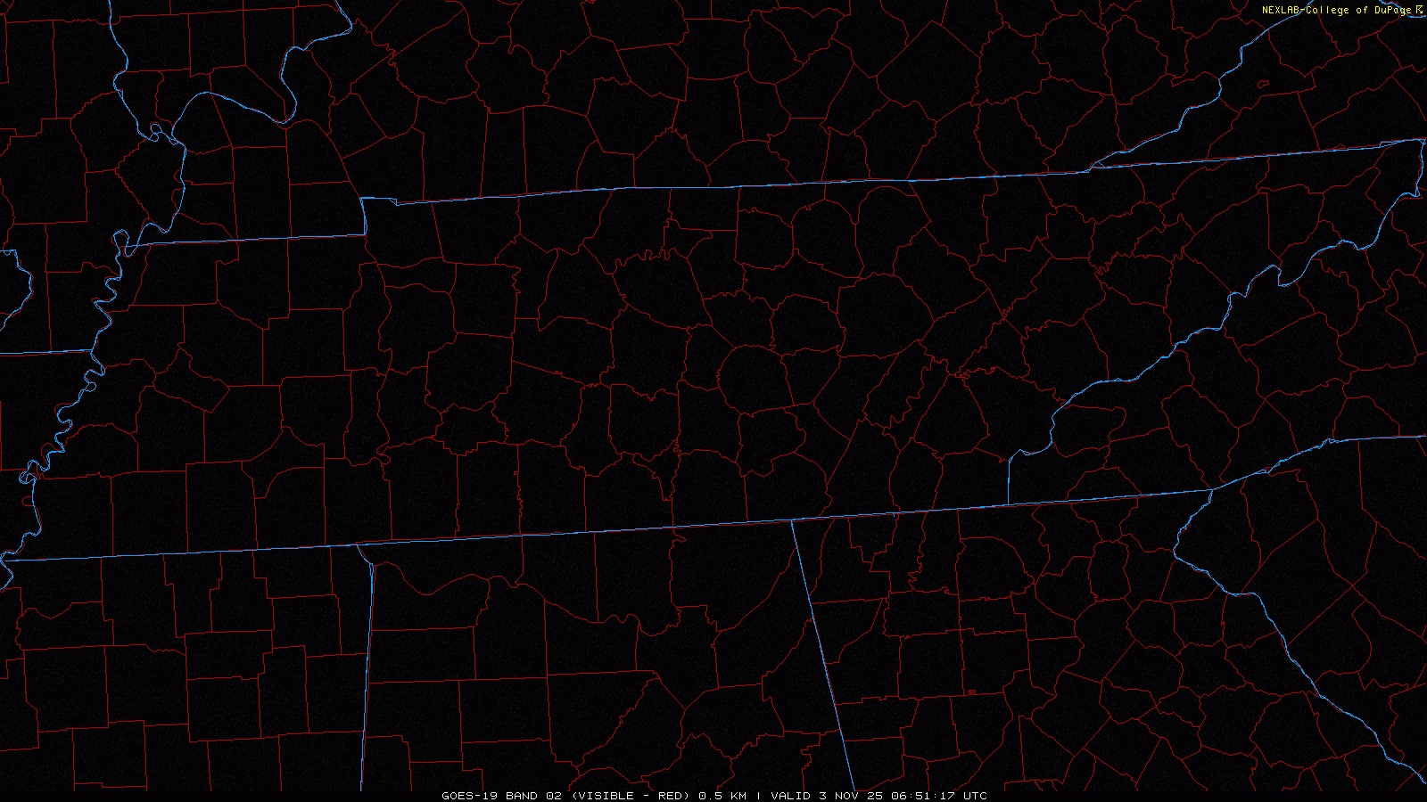
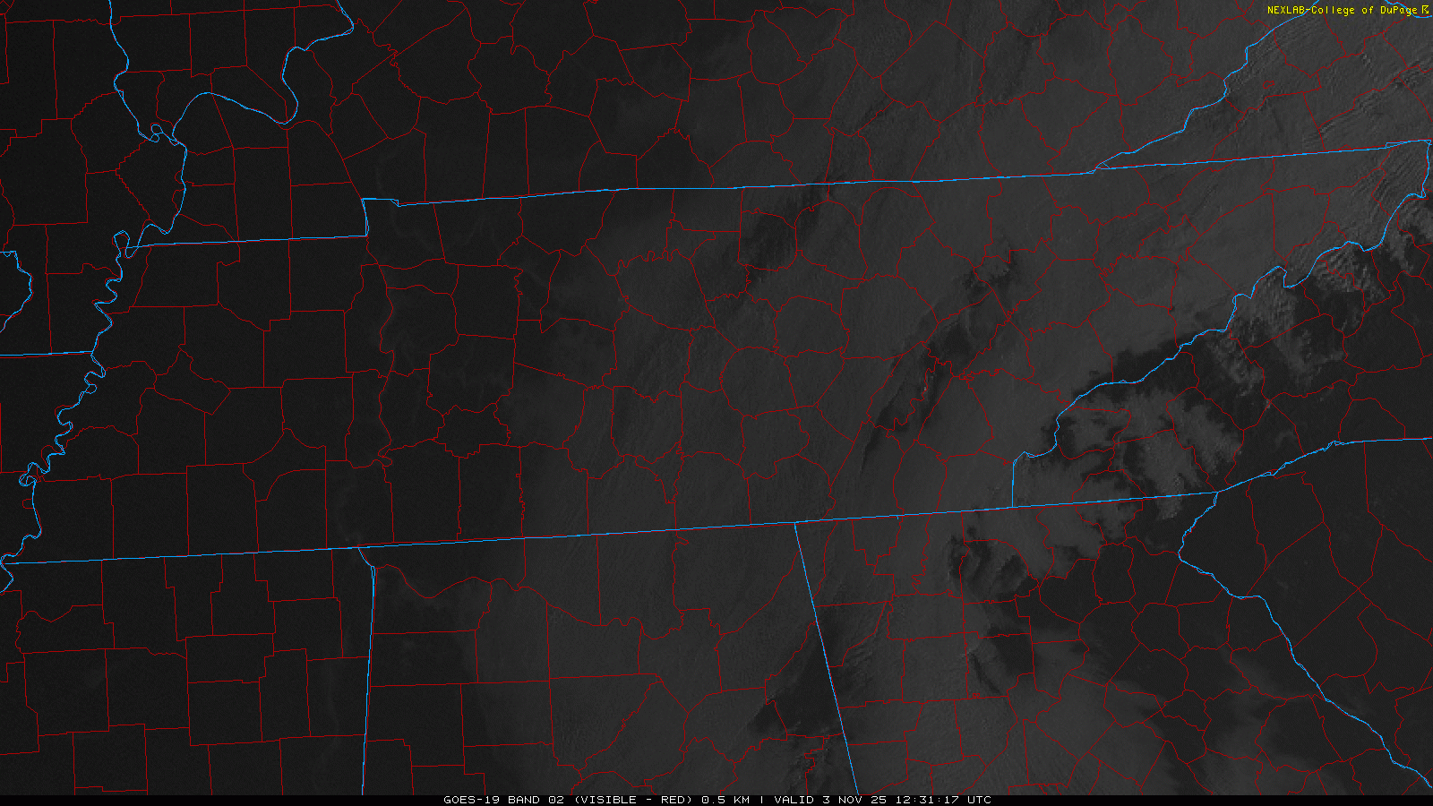
Our dense fog should begin to mix out here over the next several hours. For now, leave plenty of room between you and other cars if driving and use your headlights.
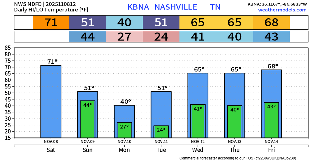
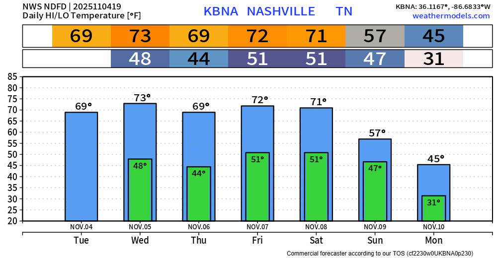
Today we get temps in the low 70s and plenty of sun. If you don’t already have outdoor plans, maybe you can make some.

You must be logged in to post a comment.