
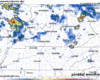
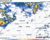
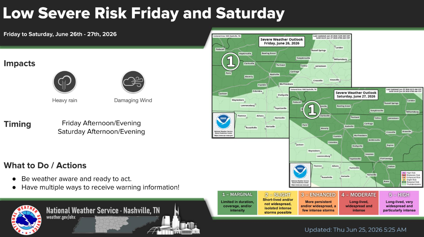
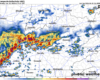
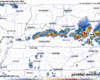
Recent model runs have backed off on our storm chances this afternoon and evening, although chances certainly are not zero, especially with this clearing we are seeing.
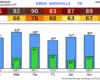
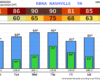
With any popup storm this afternoon, we can’t totally rule out a strong storm or two with some damaging straight-line winds. The Storm Prediction Center continues to have us outlooked with a 5% chance of damaging straight-line winds within 25 miles.


You must be logged in to post a comment.