
Current Official Hourly Observation (taken at :53 on the hour)

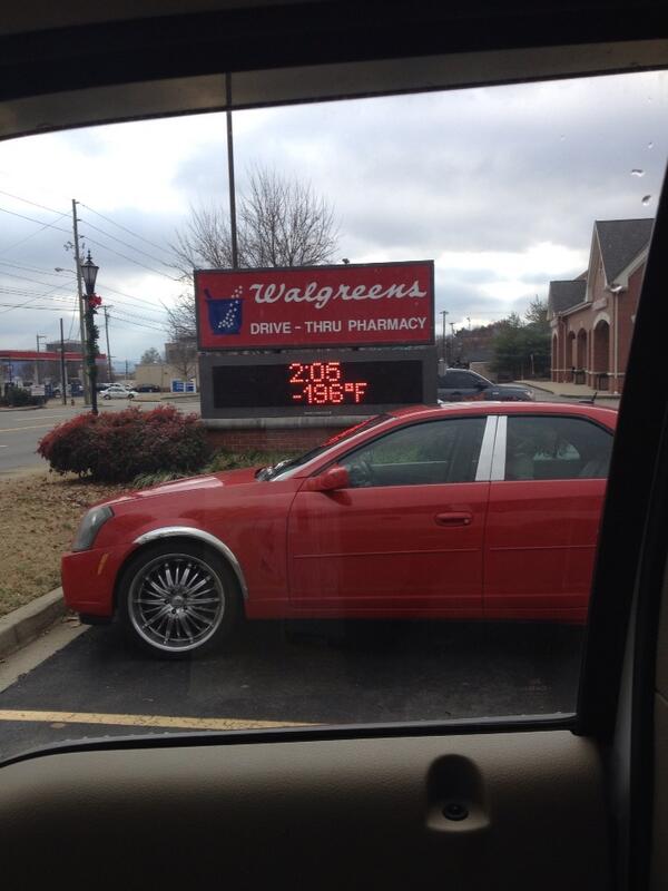
Today – Afternoon High 9, Overnight Low 4
Precip. A few flurries will fly today, but no meaningful accumulations are expected.
Winds. Will start to die down tonight and tomorrow, relieving us of the more extreme wind chills.

You must be logged in to post a comment.