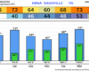
Very nice weather ahead for this weekend – especially considering it is late February.
Highs in the mid 60s today and Sunday, we are treated with low 70s on Saturday. Mornings will still be fairly cool. No rain expected.

Very nice weather ahead for this weekend – especially considering it is late February.
Highs in the mid 60s today and Sunday, we are treated with low 70s on Saturday. Mornings will still be fairly cool. No rain expected.
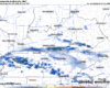
Fairly nice and mild thru the afternoon today – the sun will occasionally be able to peek thru the clouds.
Our rain chances return later today. The overall timing of the system has moved up a bit, with rain expected to move in around sunset this evening but moving out sometime Thursday morning.
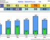
Although it’ll be fairly chilly today – we do have a low-end fire danger today due to gusty winds and low relative humidity. Be extra cautious if you plan on having any sort of outdoor fire today.
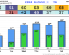
Most of us have seen some flurries this morning. Those will continue to be possible over the next couple of hours – but no impacts expected, just cool to see. If you are snow-deprived, you can find some pictures from the Northeast, where from NYC to Boston they are experiencing a blizzard.
Our messaging has changed a bit, although not dramatically, from the past couple of days.
Long-story short [as possible], expected CAPE values (storm fuel) have trended up – mostly thanks to less cloud coverage than previous expected. This, along with sufficient shear (changing of wind direction/speed with height) has led the Storm Prediction Center to re-introduce low-end probabilities for severe weather. Although the threat is conditional, based upon several ingredients aligning.
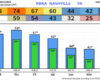
Cloud cover, along with the occasional mist, has kept us well below of our expected high temperature.
I think this may keep us a couple of degrees below our expected high on Thursday as well – regardless, still warm.
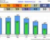
High temperatures will get near the 70° mark today thru Friday, even into the mid 70s on Thursday – pushing the daily record high of 76°. That’s around 20-25° above average.
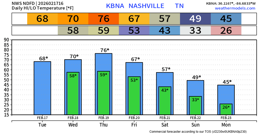
These Spring-like temps won’t last forever. We cool down a good bit after our cold front pushes thru on Friday, starting next week off slightly below average. Long-range models suggest warmer temps return by the middle of next week.
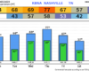
Very warm work week is in store for us. High temperatures will be ~20° above average over the next several days, including flirting with the daily record high on Thursday.
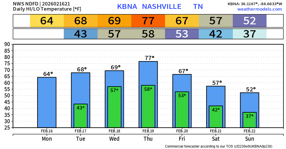
This won’t last too long – a cold front will come thru sometime later this weekend and bring temperatures back closer to average for this time of year.
Nice Friday in store for us, dry with highs nearing 60°. Although we cool down a good bit this evening, so you’ll want a jacket for any plans later on in the day.
The first half of Saturday will be a near copy and paste of today; any Valentine’s Day plans look good thru lunchtime.
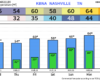
We’re about 20° colder than we were 24 hours ago – that’s thanks to a cold front that moved thru overnight that brought a little bit of rain with it.
We’ll experience a slow warming trend as we get into this weekend, although not as warm as the 77° we saw on Tuesday, but still comfortably above average.
You must be logged in to post a comment.