
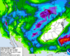
BNA reported a total of 0.02″ of rain yesterday, which was nice to keep the temperatures down a little, but won’t do much at all in terms of helping us with our worsening drought.
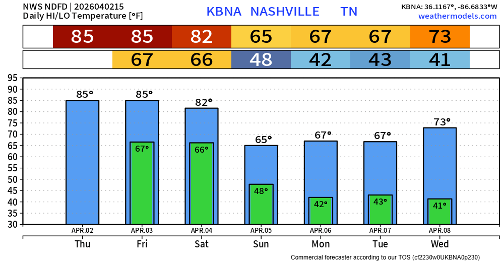
Today we’ll have plenty of sun to help our high temperatures surge into the mid to upper 80s. Our daily record high is 89° (set in 2017), so we’ll see if we can make a run at it.


You must be logged in to post a comment.