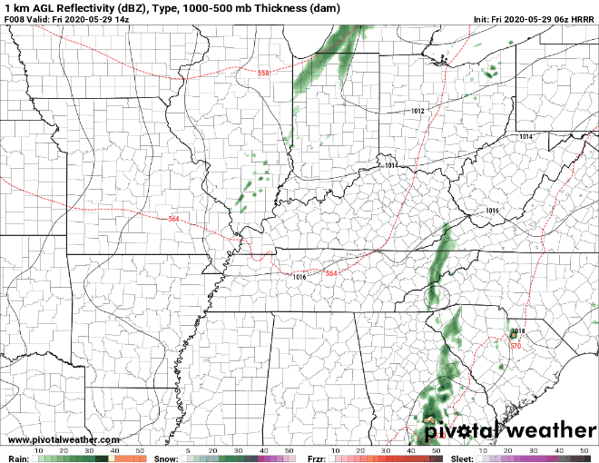
Friday
The main story today is a cold front that will sweep across Middle Tennessee tonight. The front will arrive around early evening, and the HRRR model (below) shows it clearing the area by 7 pm.

Friday
The main story today is a cold front that will sweep across Middle Tennessee tonight. The front will arrive around early evening, and the HRRR model (below) shows it clearing the area by 7 pm.
Today/Tonight
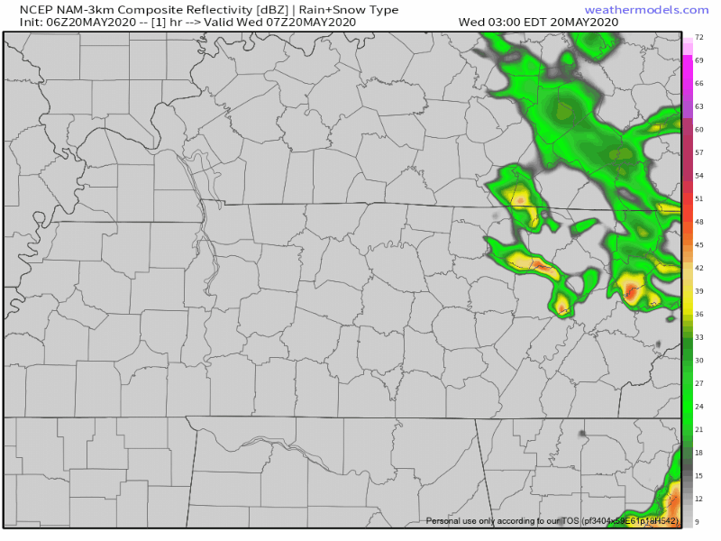
This morning light rain is near Huntsville, Alabama, moving NNE and will pass to our east.
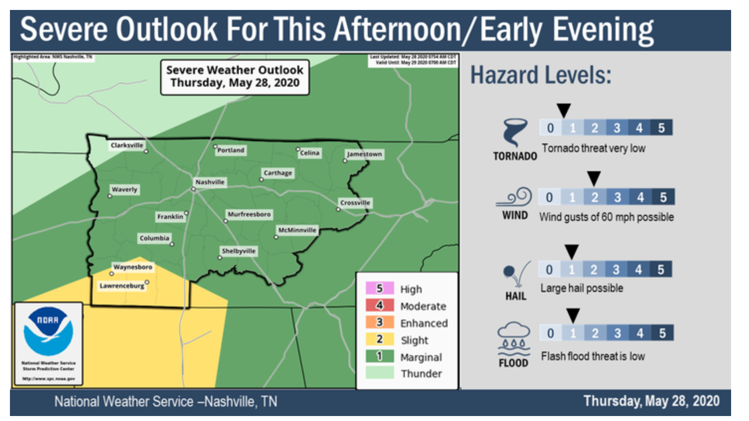
A few storms are expected to form this afternoon to our southwest, then move NNE. Exactly when and where, we don’t know because the models can’t be trusted to be exact, and the models vary by run.
Off and on rain this morning will hang around this afternoon. A few thunderstorms may be embedded in the afternoon rain, but high winds, hail, and tornadoes are not expected locally.
WPC thinks we may see up to 1″ of rain in some spots through 7 AM Thursday:
Cooler today with another chance of afternoon storms. Rain/storm probabilities increase each day up to the weekend.
The trend continues into this week: more scattered showers and thunderstorms. Most of the rain should be arriving after 1 pm today.
Memorial Day isn’t Veterans Day. Memorial Day remembers those who died in defense of our country. We remember Army Spc. Jason K. Edens today. We remember him every year.
Alongside many of you I paused my Saturday on a warm day in 2012 to stand along Columbia Avenue in Franklin as the processional of Army Spc. Jason K. Edens passed by. I didn’t know him or his wife or his family and I still don’t know his family. But I decided as long as I have an audience – and I don’t hear from his family otherwise – that he would be the soldier we remember on Memorial Day.

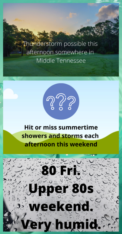
Happy summer folks! The weather patterns in this forecast are sponsored by heat, humidity, and afternoon pop up showers.
Sunday
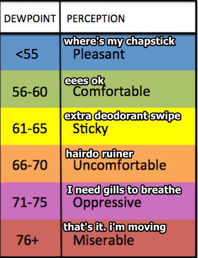
Temperatures today will peak in the upper 80’s. The dew point will be up to 68º, so at least remember to put on deodorant before you go outside today. Welcome to summer!
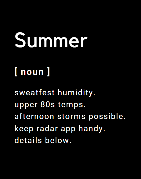
Keep your mobile radar app handy. We recommend RadarScope. There’s also a (free) radar (mobile optimized) here: https://nashvillesevereweather.com/radar/. Memorial Day weekend will be full on summertime pattern, where forecasting tools are not that helpful for ETAs and advance planning.
Remember that low pressure system that’s been hanging over us the last few days? It finally is making its exit towards the northeast – unfortunately for us, the rain will still continue, and instead of cloudy and cool, it’ll be cloudy and very humid.
Today (Thursday)
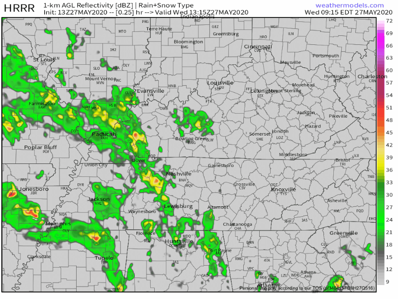
Look outside, it’s cloudy (then sunny). Already some showers rotated in from the west, around the low we’ve been tweeting about most of the week.
This afternoon after 1 PM, models predict these overcast skies will produce showers and thunderstorms, mostly north of I-40 in Nashville. The storms will be isolated, and the models think the storms will drift north and east, so they may clear our area by late afternoon. However, a few storms may develop right overhead, but the bulk of the rain and storms should move away as we go through the afternoon and night.
Today will be slightly warmer with highs in the low to mid 70s. Models have been consistently showing some showers rotating around a low that is moving through the state. Already we see rain coming in late this morning.
You must be logged in to post a comment.