No Worries Flurries Possible Wednesday

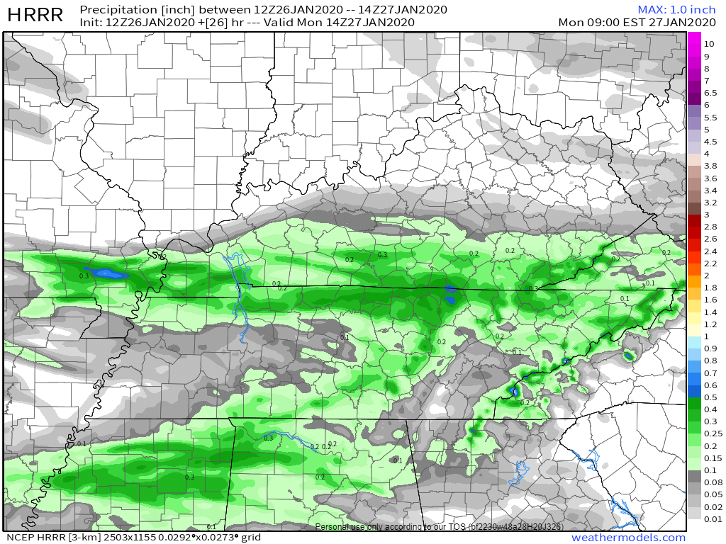
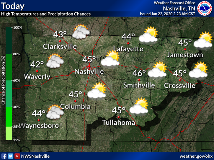
Light rain overnight. Gone before rush hour. Monday morning low 42°. 51° Monday afternoon.

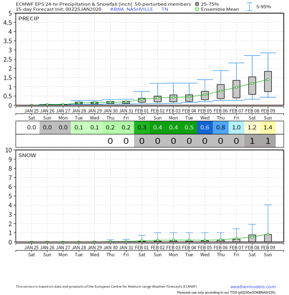
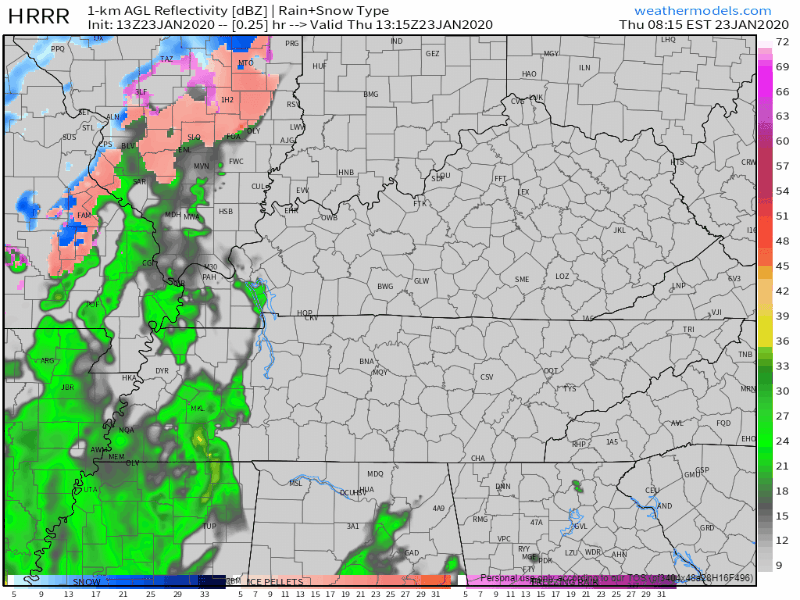
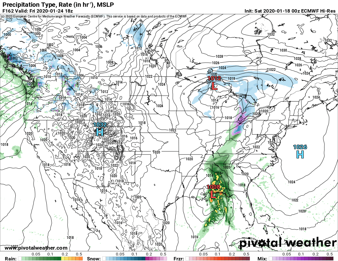
Cold rain Wednesday morning could fall as a rain/sleet/snow mix, then splat/melt. The Euro model (below) is the warmest of the models, predicting mostly – if not exclusively – rain. read more

Feelz Blerg.

Still gross Sunday morning (34°), bit warmer Sunday afternoon (51°) but still cloudy. Then light rain Sunday night.

NAM3 model Sunday night.

We do the mornings 30°s, afternoons mid/upper 40° thing next week. Precip possible but iffy Tuesday night into Wednesday (low water content) and again Friday (as usual models vary substantially). read more

Hit or Miss (Mostly Miss) Showers Today, Dry For Most Of The Weekend Until Late Sunday

Occasional Shower Today, Otherwise Cloudy

We’ve got a few lingering showers passing through Middle Tennessee this afternoon. Nothing close to a washout, but have the umbrella handy just in case. Here’s the HRRR

Rain Incoming, Dry Weekend, Warming Trend

Rain Thursday into Friday Morning

The HRRR model shows rain moving in this afternoon (around 2pm):

The NAM3 model says rain closer to noon:

Regardless, plan for rain around lunchtime and after.

Showers will be off and on tonight through Friday, and sorry snow lovers, no snow. Those in the Plateau may see some light flurries Friday night/Saturday morning, but there will be no impacts. read more

Cold Air’s Grasp Ends (For Now), Warming through Friday

Warmer Air Returns

The past few days have been… well cold, to say the least. Our average high for January is right around 48°F and our highs have been falling short of that recently. This will be changing as we move through the end of the work week. read more

Cold And Sunny Until Thursday, Rain Through Saturday Morning

Cool And Clear Next Couple Of Days

As the clouds begin to thin out this morning and into the afternoon, the sun will peek out and “warm” us to 38°. Don’t be fooled by the word “warm”, it’ll still be cold. Some of us may be a bit cooler than that this afternoon, depending on how quickly the clouds move out. Keep that heavy coat in hand if you’re going out tonight as well, lows will be back in the teens and lower 20s as we head into Wednesday. read more

No-Worry-Flurries Today, Sun Returns Tuesday

We woke up to some no-worry-flurries today as some energy from an upper level system pushes through. We may even see a few more flurries overnight as an upper level low moves overhead. We’re not anticipating any problems. read more

The Cold is Here; Gradual Warm-Up this Week; Rain Chance Returns Fri

Dry and Cold Sunday

At 10:00 AM it was 34°, the wind chill was making it feel like the mid-20°s.

High temperatures today will reach 36°, but northwest winds will keep bringing in cold air, making it feel like the 20°s all day. read more

Wakey Wakey Wind Chills 19° Sunday, 10° Monday. & 6 Other Weather Things (feat. Fewer Words!)

  1. Rain should end shortly after lunch.
HRRR model thinks rain ends around 2-3 PM.

2. Winds gusting to 30-35 MPH this morning should relax this afternoon.

3. Cold front tonight. You need a jacket. Wind chills will drop below freezing around 9 PM.

HRRR model wind chills tonight into Sunday morning.

4. It’s going to stay cold. Wake up wind chill 19° Sunday morning. Wind chills in the 20°s all day Sunday. Monday will be worse, wake up to 10° wind chill, with wind chills again only the 20°s all day Monday. read more

Dry Today, Wet And Windy Tomorrow, Much Colder For Holiday Weekend

Cool And Dry For Friday

An abundance of some clouds will keep our temperatures around 48° for the high this afternoon. No rain in the forecast for the rest of today, so Friday evening plans are all clear, but you’ll probably need a jacket as temperatures drop once the sun sets. read more