Cold Front Will Bring Relief This Weekend, but Don’t Hang the Halloween Decorations Quite Yet.

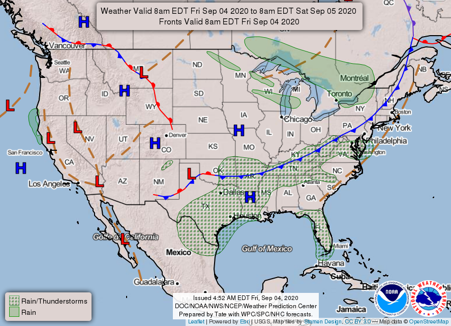
Front Passes Through This Afternoon, Bringing Chance for Scattered Showers

There are few things I love more than a cold front on the move. And guess what? It’s happening today!

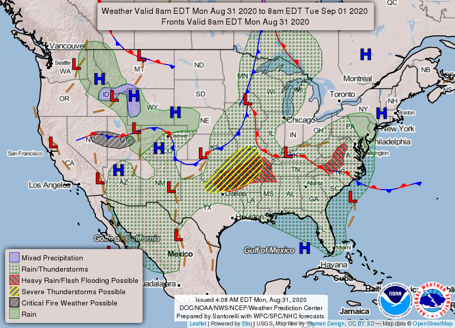
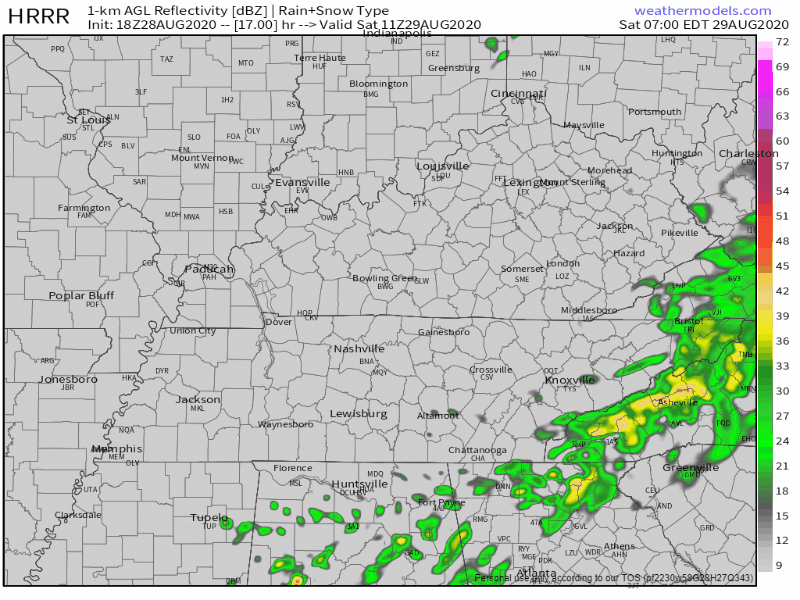
The cold front that’s stretching across much of the eastern US is expected to approach Nashville around early afternoon, bringing cooler temperatures and lower dew points. read more

Summer Today, Fall (Sort of) Tomorrow.

This morning, skies are overcast with temps in the low 80s. Very humid.

Later this morning and into the afternoon, a few small showers or even a thunderstorm could pop up due to daytime heating and a boundary stretched across Tennessee. read more

Potential Strong Thunderstorms This Afternoon. Still Looking Forward To Cooler Weather This Weekend!

Low clouds building into the area this afternoon as our risk for strong thunderstorms increases.

Low threats associated with these developing storms, mainly gusty winds and localized flooding. The chance of an isolated tornado to develop out of one of these storms is possible, but the threat is low, mostly N of I-40. read more

Storms Could Be Strong Today, Temperature Relief Is Coming...

First and foremost, Happy September 1st! Today marks the start of meteorological autumn, but unfortunately it won’t “feel” like fall until next week.

[Editor’s Note: Actual Autumn starts September 22. We won’t be budged. However, we won’t judge your happiness if fake fall makes you happy.] read more

The Humidity This Week Will Make You Think We’re in Florida. Then, a Change Comes Friday!

Very Muggy Monday, and a Chance of Rain This Afternoon

A warm and humid air mass will make it feel like we are stuck in Florida this week. And not the good, “Let’s go to the beach!” kind of Florida.

There’s not a dew point below 70º to be found in the next few days. read more

Rain and Humidity are Sticking Around for a While.

Possibility of some Strong Storms Sunday Afternoon

Rest of this morning and early afternoon should be quiet.

Stronger storms will begin to pop up this afternoon. The HRRR model shows them beginning to form around 3 pm and hitting us sometime between 4 pm and 6 pm. read more

Hot, Steamy, Maybe Some Rain Saturday, Better Chances Sunday

Laura is now a post-tropical cyclone situated over West Virginia. It will continue moving to the east and go off the eastern seaboard later today. We say good riddance.

Saturday

Sticky, Sweaty, Unbearable Humidity. Highs at 90 with dew points in the low 70s. Rain is iffy today. HRRR model shows a line of showers/storms moving south out of Kentucky and clipping the eastern part of our area later this evening. read more

What to expect after Laura leaves.

Laura, a review.

Just before 5 PM what’s left of Tropical Depression Laura was centered just north of the KY/TN line, moving east and dragging heavy rain and gusty winds along with it.

Laura was not cool today. Here’s what happened. read more

Remain Weather Aware All Day as Tropical Depression Laura Passes Over Middle Tennessee

Threats Today Include Heavy Rain, Gusty Winds, and Isolated Tornadoes

The remains of Tropical Depression Laura are spinning our way. The storm has finished its trek northward, and today it will set its eyes on Middle Tennessee and Southern Kentucky as it moves east. At daybreak, the storm was at the Arkansas/Tennessee state line. read more

Uneventful Thursday, Then Laura Arrives. Impacts Begin Friday. Threats, Risks, Uncertainties, & Details Here.

Slight chance of rainfall and storms today, but we will probably stay dry. Mostly cloudy most of the day.

High temp of 92° with a heat index of 100°. Humidity is high as Laura pulls thick, humid air off the Gulf of Mexico and into Middle Tennessee. read more