
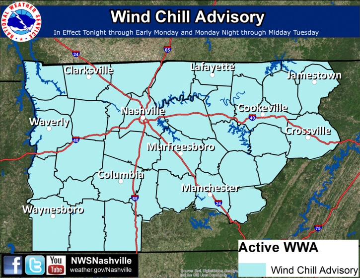
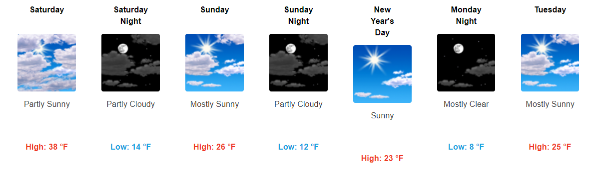
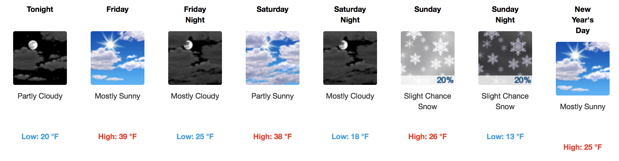
Wind Chill Advisory Expires at Noon
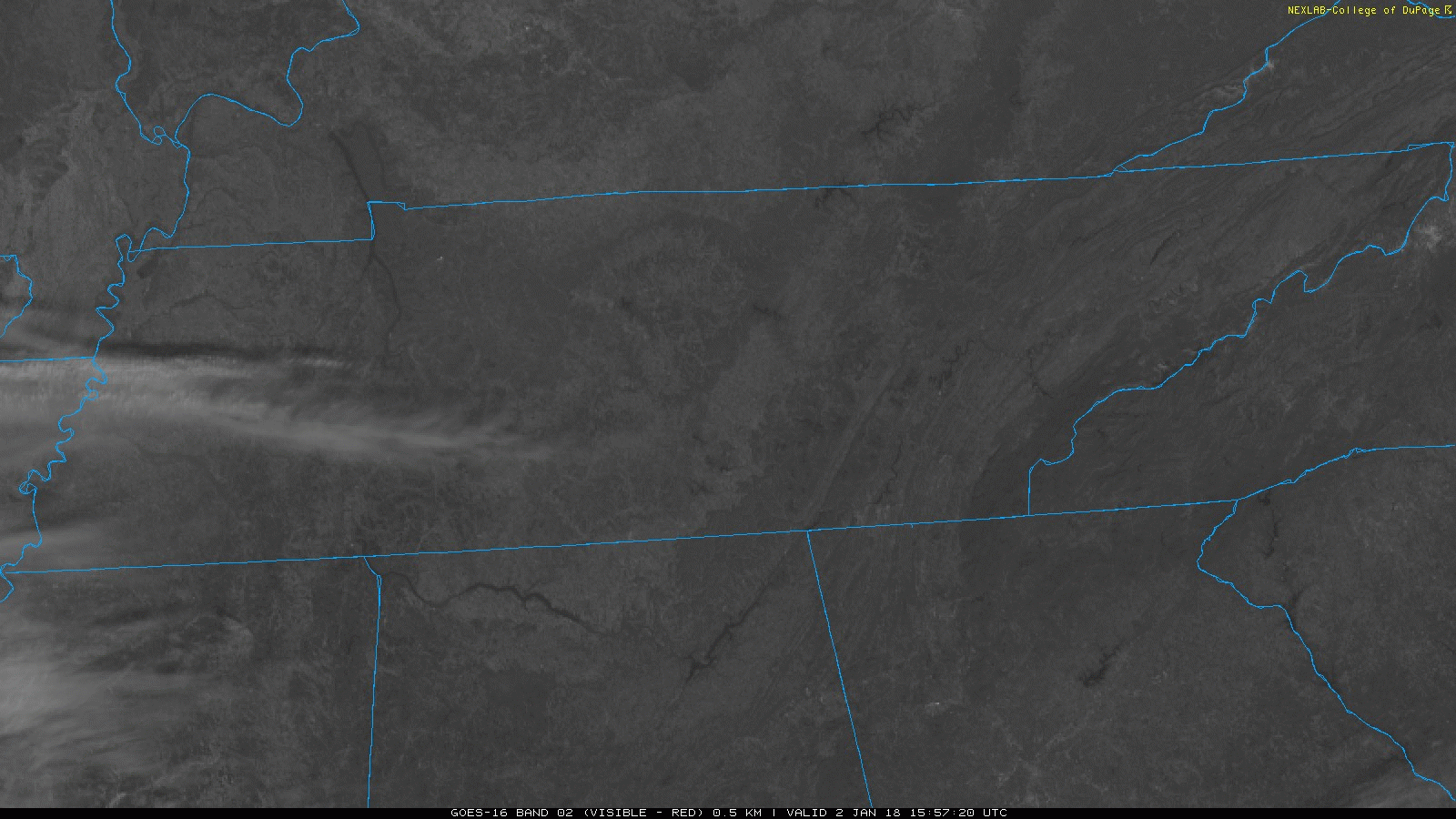
GOES 16 Loop from this morning
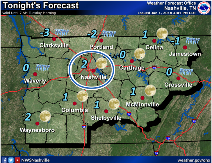
If you were out the door early, WOW was it cold. Some Middle Tennessee locations set local low temperature records, like Crossville at 1ºF. Sunshine should help our area rebound into the middle 20s today, and winds will be dying down. Thus, the Wind Chill Advisory ends at noon.

You must be logged in to post a comment.