
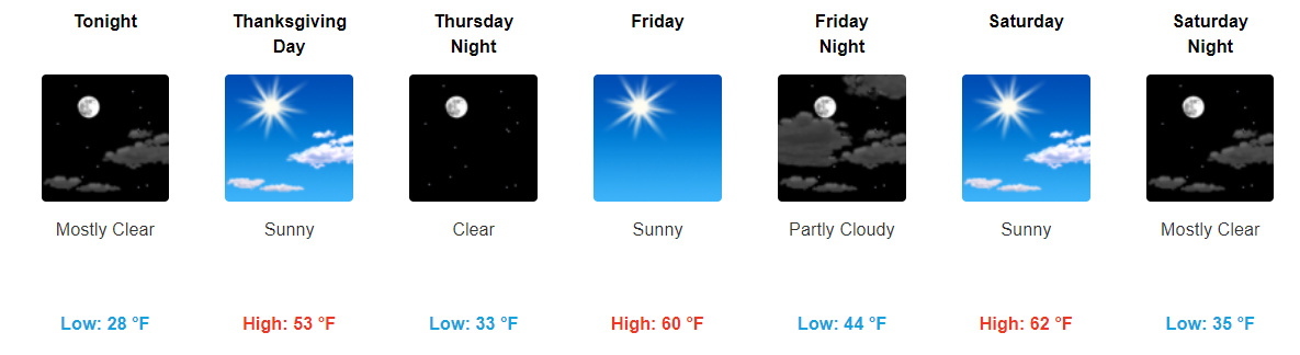
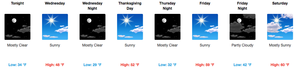
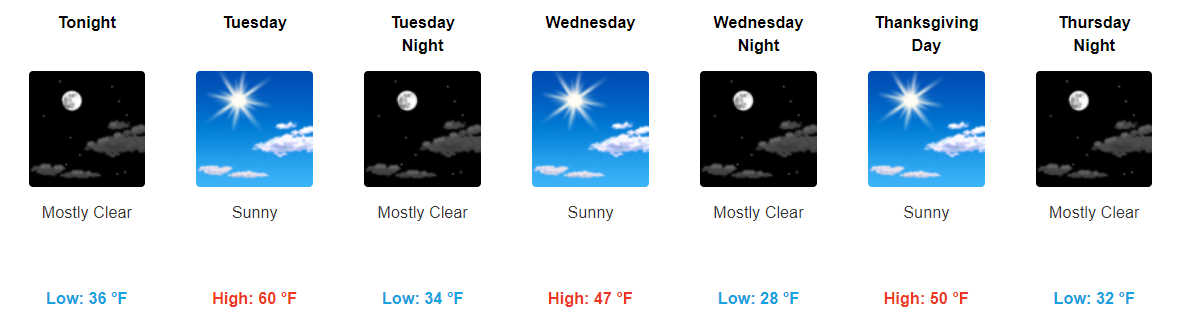
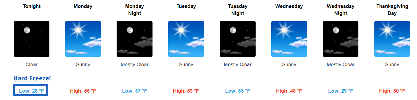
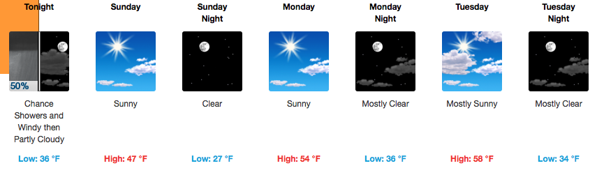
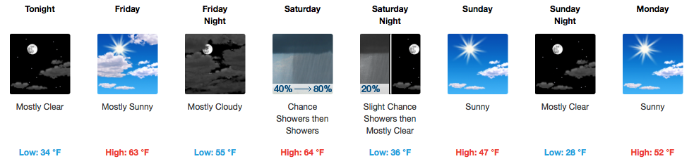
Fluctuations in temperature this week have to do with which way the wind is blowing.

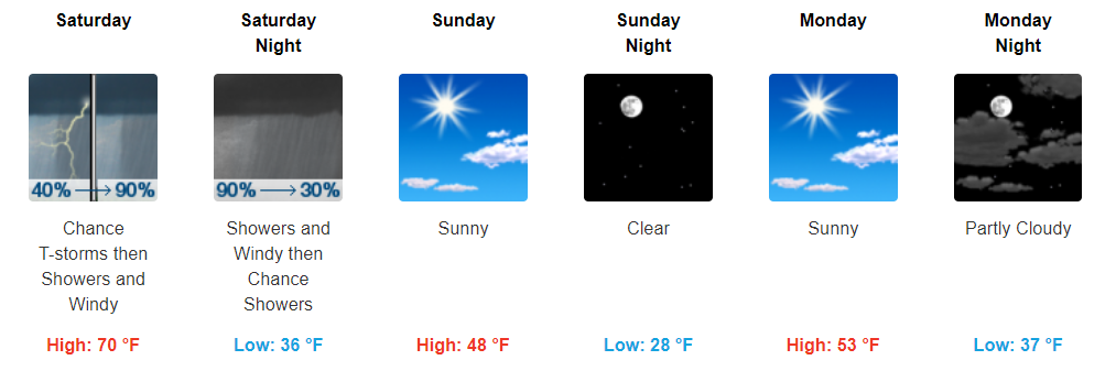
Colder north winds today will turn south tomorrow and Saturday and warm us up.
Saturday night another cold front arrives to turn the temp back down Sunday, but no rain is expected with the passage of the front.

You must be logged in to post a comment.