
Today
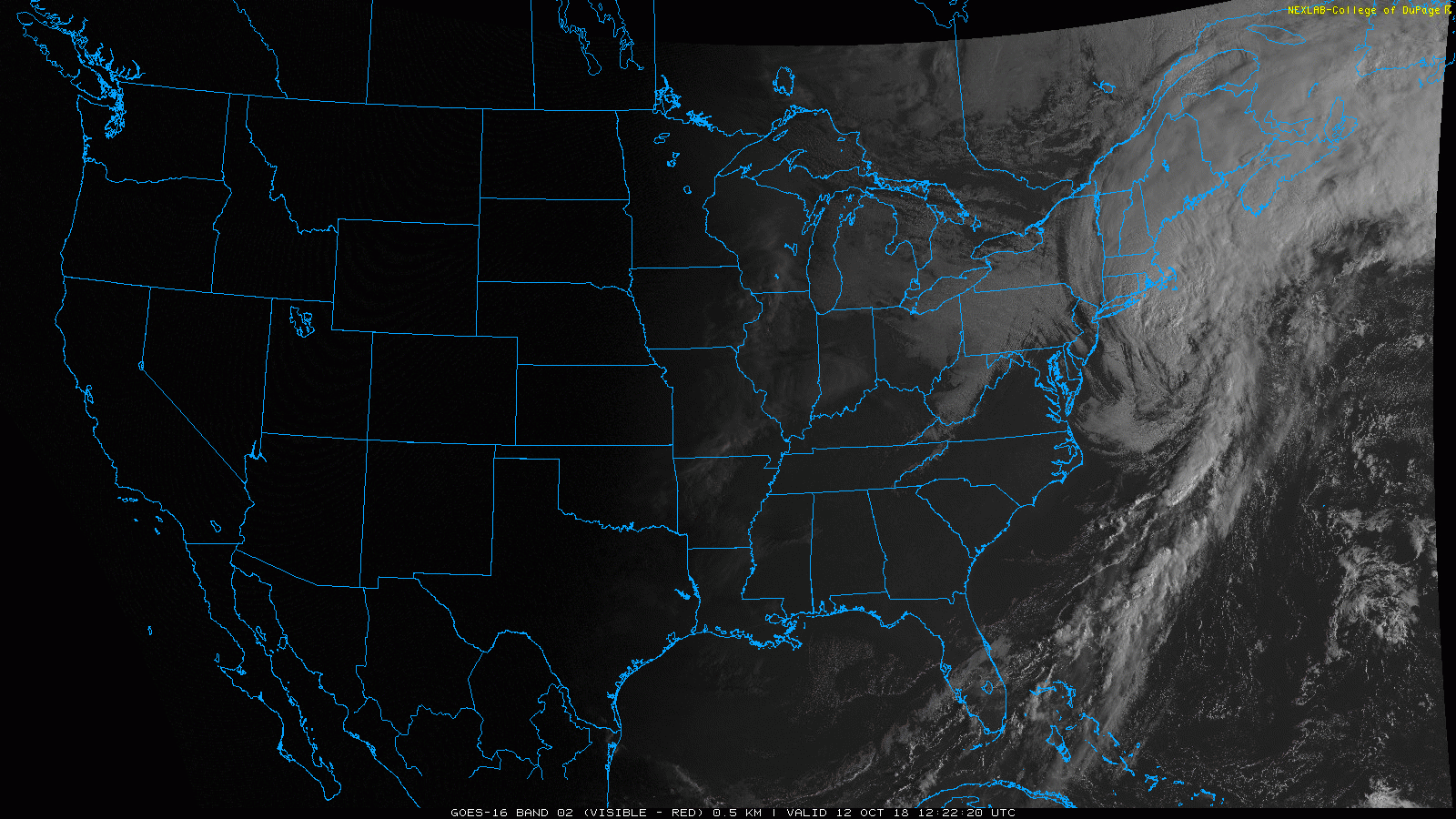
Mostly clear skies can be found statewide. We should remain mostly cloudless throughout the day before an upper level pulse scatters showers our way this evening.
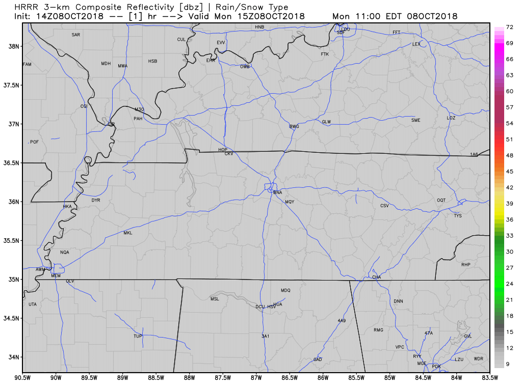
Some scattered showers will quickly push through late tonight. Greater chances can be found to the north, decreasing as you go south.


You must be logged in to post a comment.