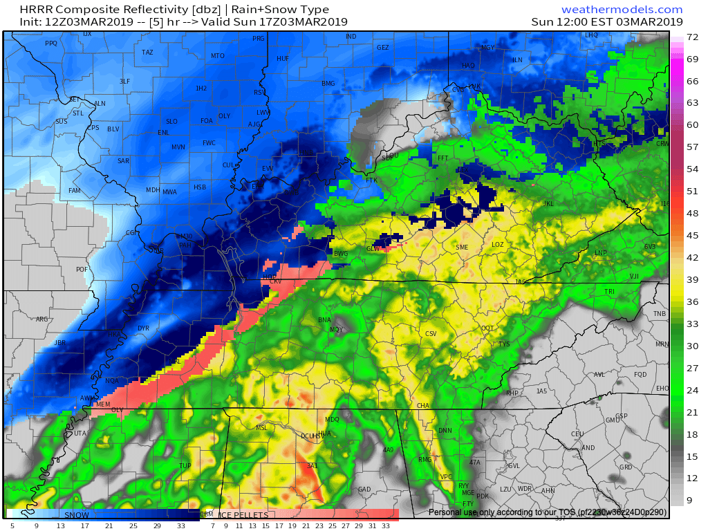
Rain, maybe a flake or two late tonight.
Tomorrow, cold, but warming through the week.

I write from Severe Weather Awareness Day at Trevecca. It’s from 9 AM to 4 PM today. The Blue Bell ice cream guy if here with a LOT of ice cream and Erik is here from Storm Watch Plus — we have 200 severe weather alert apps to give away for freeeee! The event is free here too. Parking free. It’s all free. Even the ice cream. Free! All your fave broadcast mets are here. Also NWS people and other exhibitors. Details here.

Intern 4.0 here, a special thanks to David, Will, and Andrew for letting me make a “guest” appearance on today’s blog.
Technically speaking we have a very slim chance of a scattered shower this morning, but so far showers have stayed well to our south. So I wouldn’t count on any showers, but be advised if you were to feel a sprinkle or two. As you head outside this morning, you may notice the abundance of clouds overhead. Visible satellite imagery shows the sun rising over these clouds, even if we can’t see it here in Middle Tennessee.
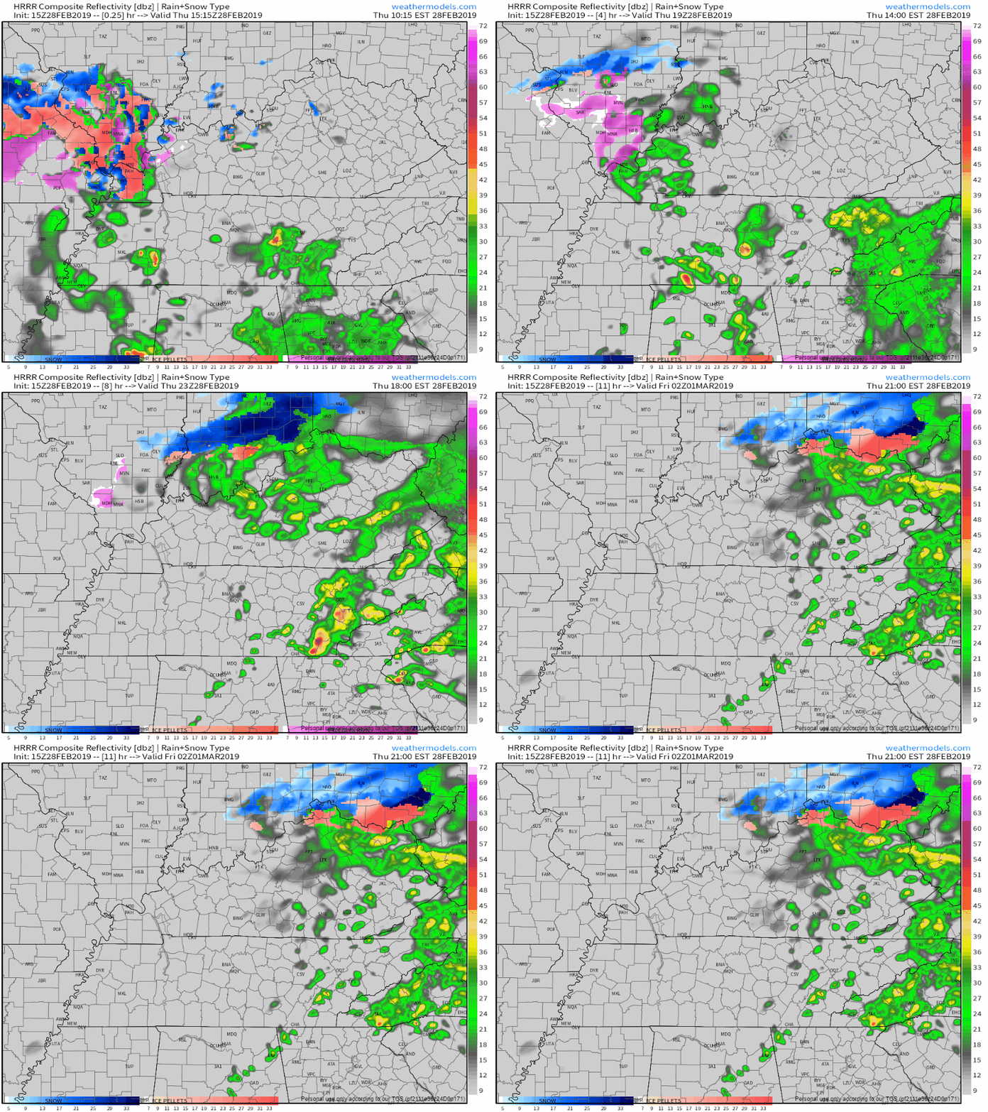
A weak cold front is stretched across Middle Tennessee, bringing scattered showers and keeping afternoon high temps in the mid 50°s. Light rain could continue into tonight.
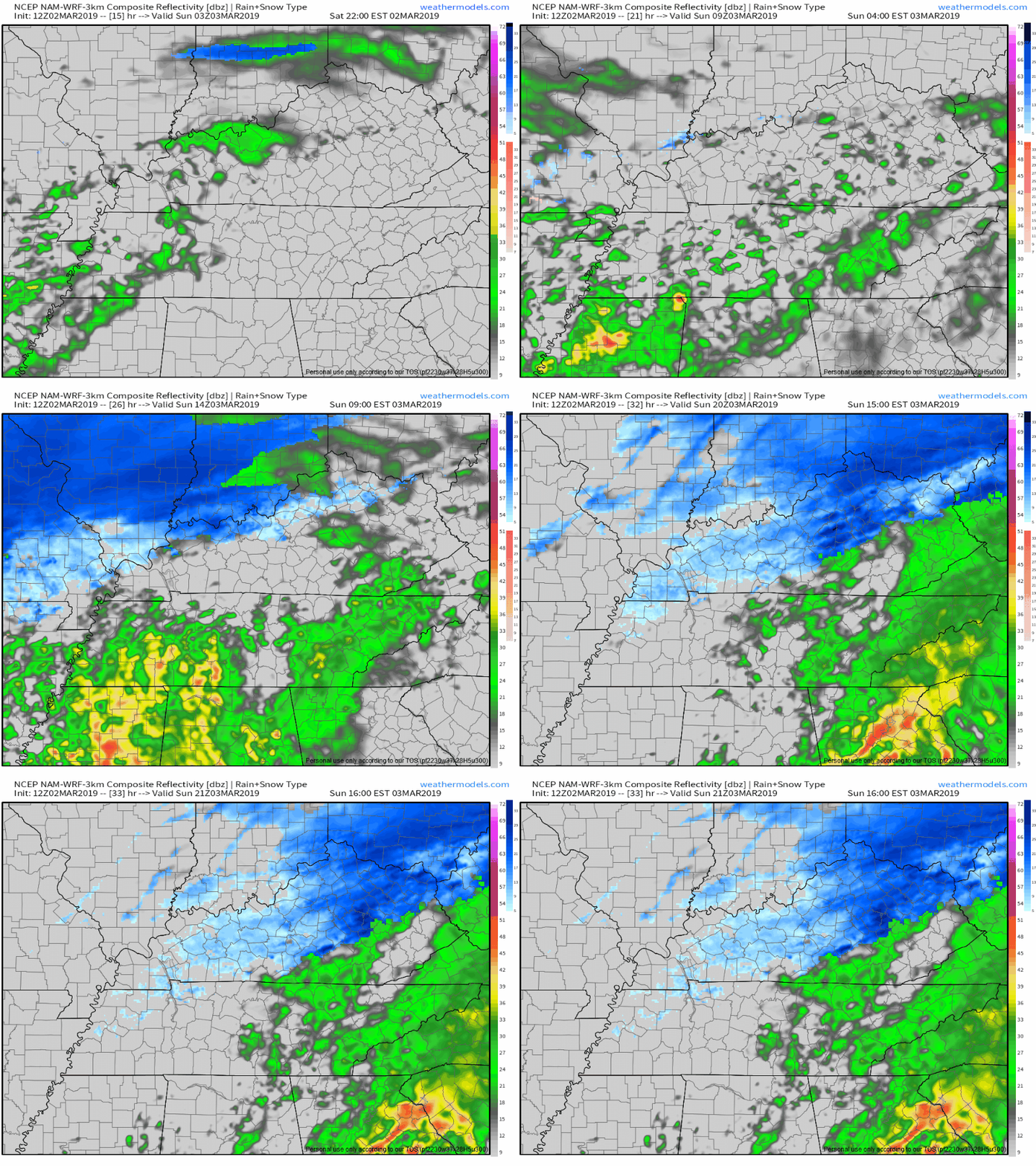
Morning commute will be met with temps in the mid 30°s, with high temps warming into the upper 40°s. Light scattered showers are possible in the morning and early afternoon, which the NAM 3km shows. By evening a high pressure center should set up over the Great Plains which will push rain chances out. [Editor’s Note: NWS keeps us dry on Friday during the day and introduces low end rain chances beginning in the evening. Future forecasts may change in response to model data, but we’ll update rain chances over on Twitter.]
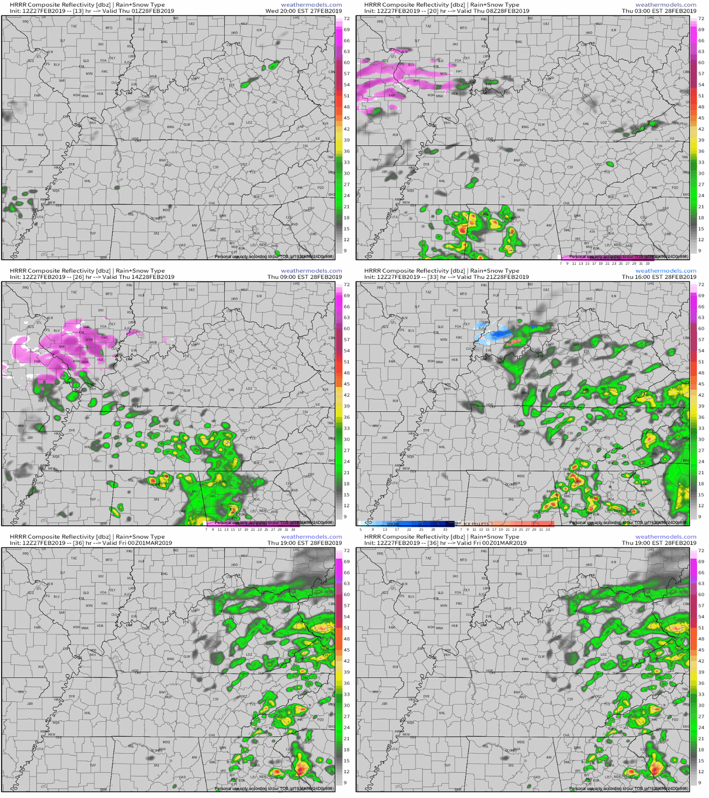
Get outside and enjoy today! Our afternoon high temperature is expected to fall just short of 70º, but still, it is going to feel amazing. Clouds will begin to move in ahead of our next front tonight.
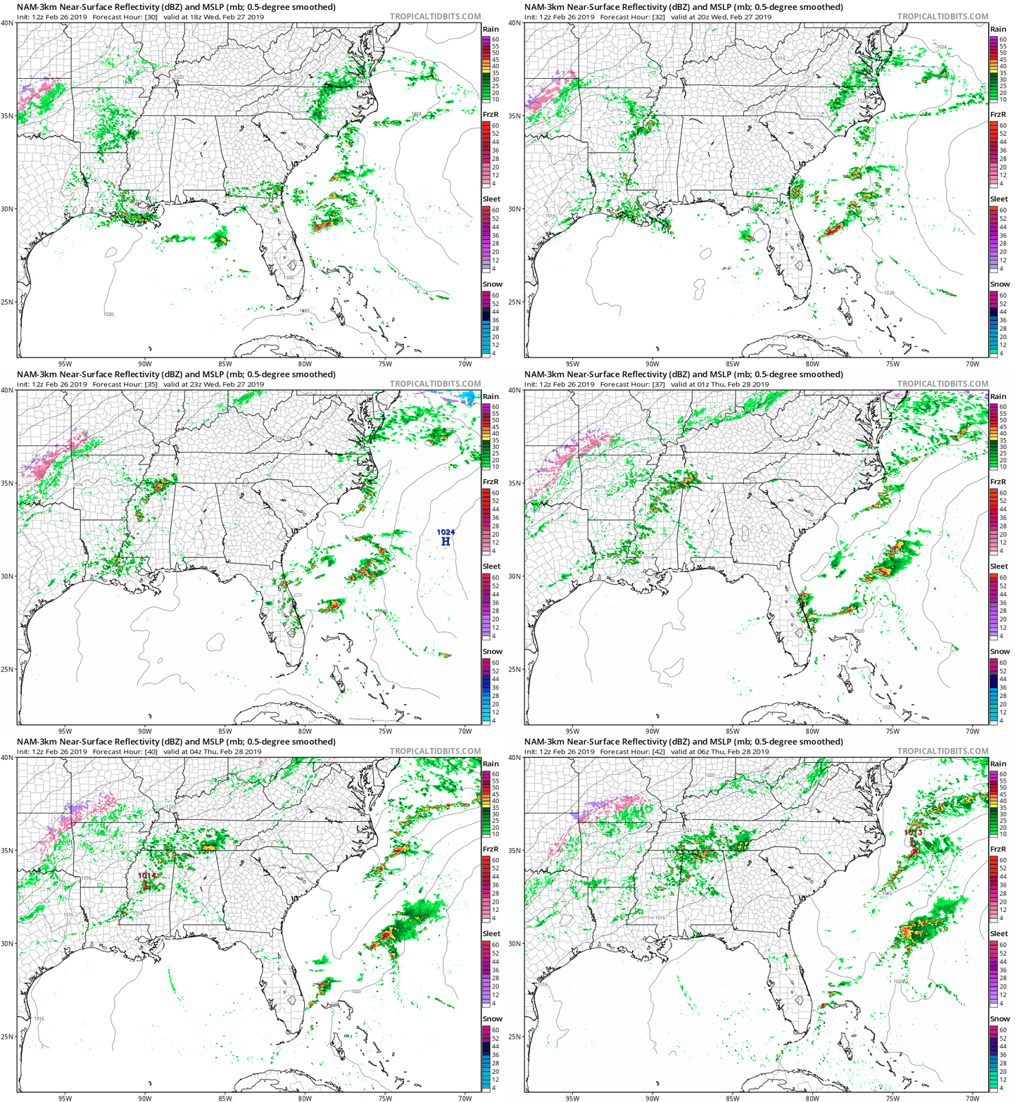
We’ll start Wednesday morning in the low 40°s and warm quickly to the mid 60°s by afternoon. Take this opportunity to soak in the sun while you can. Clouds will begin invading in the afternoon ahead of more rain.
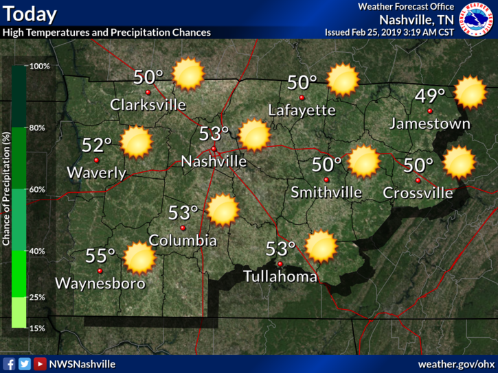
I hope y’all enjoyed the glowing orb in the sky yesterday because it’s back! A cloud will not be in sight as our temperatures rise into the middle 50s.

We’ve still got a couple of Flood Advisories in effect today as our rivers are still over their banks in some areas. However, all rivers have peaked at this point. You can monitor flood stages of area rivers, streams, and creeks here.
It wasn’t/isn’t May 2010. But it trapped people in RVs. Required water rescues. Water in basements. Roads closed, impassable. All weather is local and personal. When it is, historical context is irrelevant.

Rain ended – OK maybe a few more light rainers or drizzlers tonight – but flooding threats remain as water continues to runoff into rising creeks and streams. Be especially careful at night when darkness hides flood dangers.
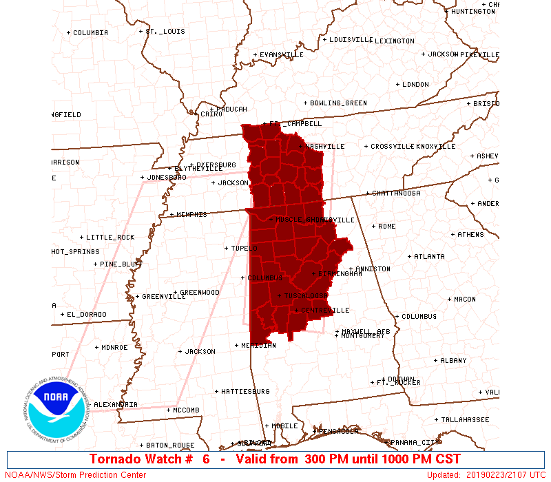
A Tornado Watch has been issued for Davidson and Williamson Counties from 3 PM until 10 PM.
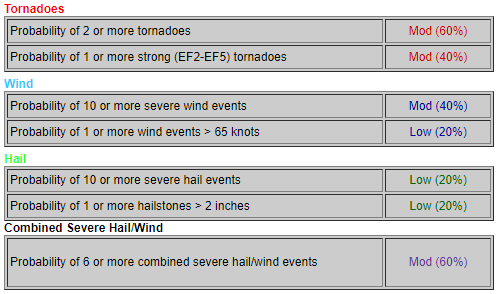
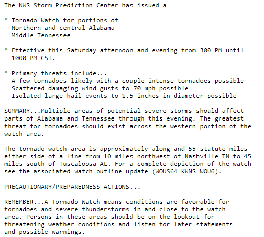
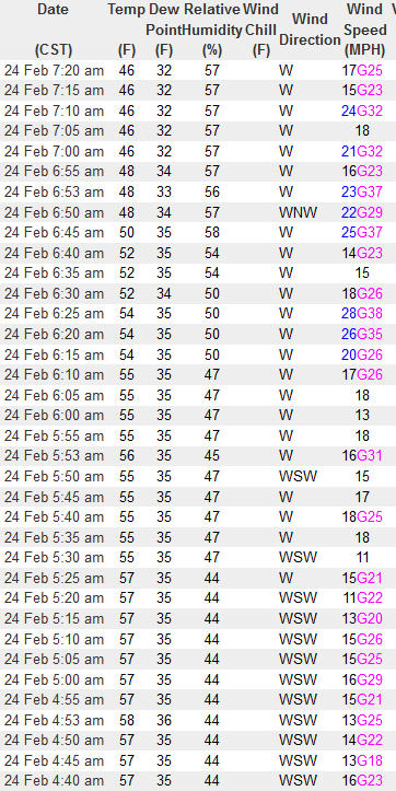
As storms approach from west to east, our winds will pick up. Wind gusts upwards of 35 to 55 mph (higher within storms) can easily cause a tree to fall due to the saturated/weak roots. Again, don’t park beneath a tree that could fall.
You must be logged in to post a comment.