
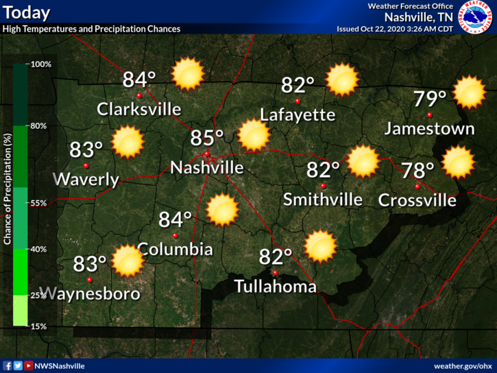
Another “non-pumpkin-spicey” day. High of 85(!) and humid. Dew points in the 62-64 range.
Also this…
Rain should hold off until Friday, so tonight will be dry and still warm with a low of 64.
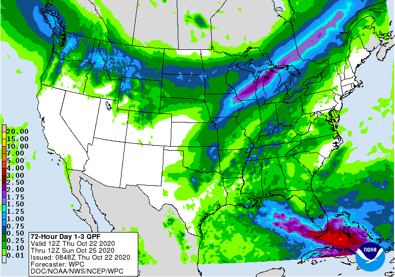
Rain Friday
Models are in pretty good agreement with timing.
GFS Model is a few hours faster than the Euro. It predicts rain moving in closer to sunrise.
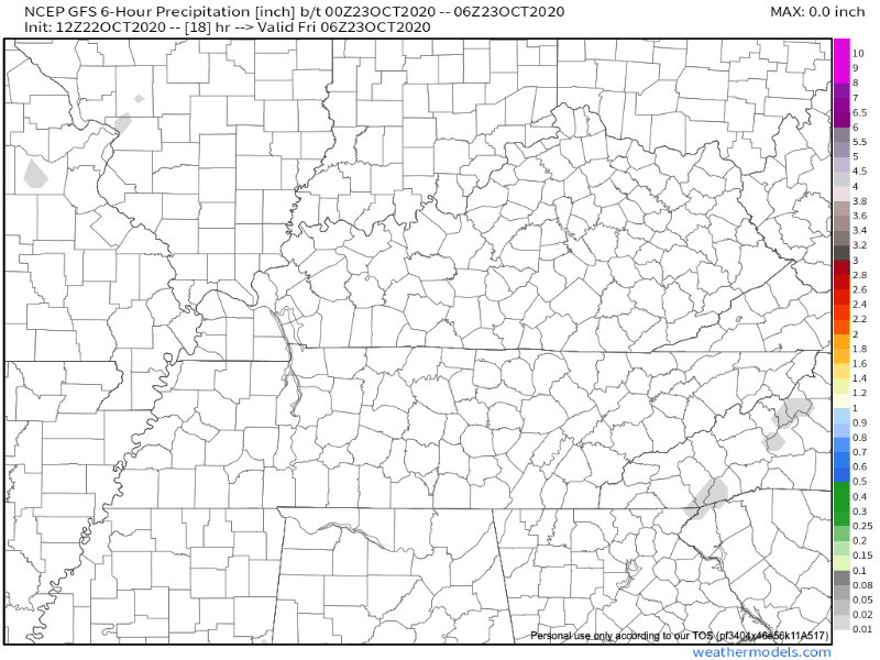
The Euro Model leans closer to 10AM-Noon.
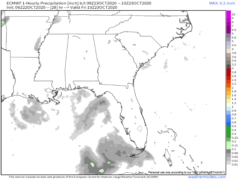
Either way, both models predict us getting rain during the morning. They also have the rain moving out before sunrise Saturday.
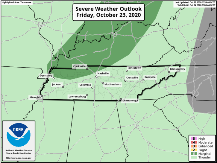
While severe weather isn’t anticipated locally, SPC has a low-end risk for parts of north/northwest TN.
Here’s what NWS Nashville said this morning in their discussion
Main concern with any strong to severe thunderstorm activity will be strong to damaging winds and large hail.
NWS AFD 10-22-2020
Our tornado concern level with this system is very low.
How much rain? Due to the scattered nature of these predicted showers/storms, your backyard will vary.
0.25-0.5 inches seems like a safe bet. Locally higher amounts are possible with any downpours.
Weekend Fans
With the passage of a cold front, Saturday looks to be quite cool. Highs staying in the mid 60s before we warm back up Sunday-Monday to upper 70s.
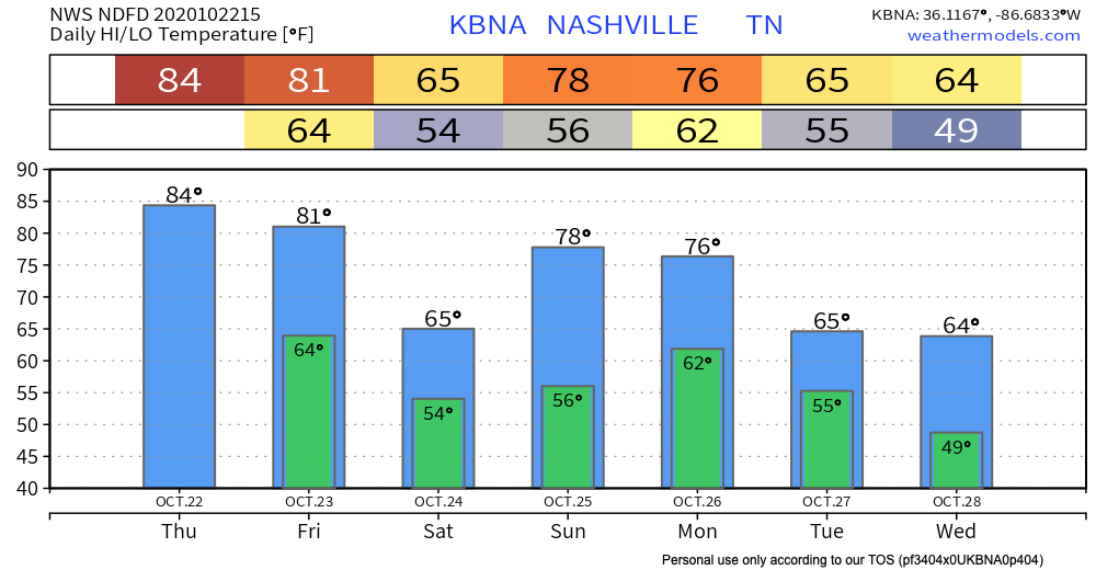
Unfortunately, temperatures will seesaw over the next 7 days. Another cool down (and more rain) possible by early next week.

Categories: Forecast Blogs (Legacy)
You must be logged in to post a comment.