
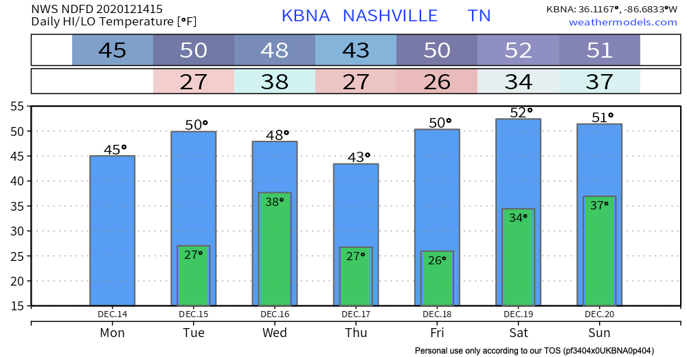
Happy Monday, Y’all!
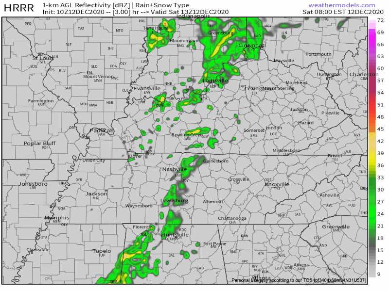
It’s cloudy.

Sunshine is advancing behind a clearing line crossing the Ohio River around 10:30 AM. It may get here before dark.
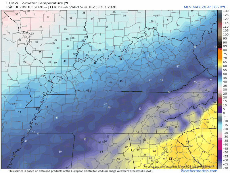
Highs today will remain in the mid-40s but with that wind coming out of the northeast, real-feel temperatures will feel more like the 30s.


You must be logged in to post a comment.