Pleasant & Dry Today; Rain Chances Return Tonight; Rain All Day Friday; Severe Storms (?) Saturday

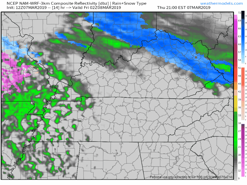
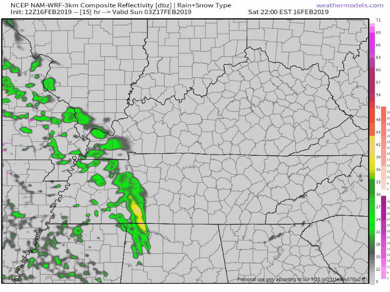
Today we’ll be mostly cloudy, cool, and dry through the early evening hours. Afternoon high will be around 50° here in Nashville.

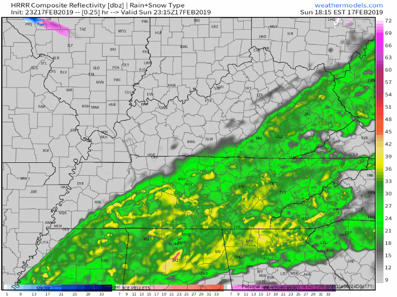
Rain chances will increase after sunset as our next big rainmaker arrives. Scattered drizzles could begin around 9PM tonight, becoming rain by midnight. read more

Cooler with Rain Today; Light Showers Friday Morning; Beautiful Saturday; Cold Front Sat/Sun

A weak cold front is stretched across Middle Tennessee, bringing scattered showers and keeping afternoon high temps in the mid 50°s. Light rain could continue into tonight.

Friday

Morning commute will be met with temps in the mid 30°s, with high temps warming into the upper 40°s. Light scattered showers are possible in the morning and early afternoon, which the NAM 3km shows. By evening a high pressure center should set up over the Great Plains which will push rain chances out. [Editor’s Note: NWS keeps us dry on Friday during the day and introduces low end rain chances beginning in the evening. Future forecasts may change in response to model data, but we’ll update rain chances over on Twitter.] read more

Dry Today; Rain Arrives Late Wednesday; Scattered Showers Thursday/Friday; Not Another Editor’s Note About Sunday Snow (sorry, yeah there is one)

Wednesday – Sunny in the Daytime, Showers Begin after Sunset

We’ll start Wednesday morning in the low 40°s and warm quickly to the mid 60°s by afternoon. Take this opportunity to soak in the sun while you can. Clouds will begin invading in the afternoon ahead of more rain. read more

Tornado Watch 3 PM Until 10 PM

A Tornado Watch has been issued for Davidson and Williamson Counties from 3 PM until 10 PM.

Also Keep In Mind…

As storms approach from west to east, our winds will pick up. Wind gusts upwards of 35 to 55 mph (higher within storms) can easily cause a tree to fall due to the saturated/weak roots. Again, don’t park beneath a tree that could fall. read more

Flash Flooding Concerns Continue with Severe Storms Possible Tonight; Dry Days are Ahead

A Flash Flood Watch continues until midnight tonight. We’re expecting another few inches of rain here in Nashville, so flash flooding is still a concern.

The axis of heaviest rainfall is expected to set up just to our southeast, but we could see another 2″ to 3″ here in Nashville. Rivers and streams already full of water could rise more if this pans out. read more

More Rain Tonight, Flash Flooding Concerns Remain; Severe Storms Possible Saturday Night; Dry Days Start Sunday.

Our Flash Flood Watch continues through Saturday. We are expecting another couple of inches of rain overnight. More details below.

Overnight Flash Flooding Possible

Don’t let your guard down just because we’ve got light rain on the way to bed. We’re expecting at least another inch, perhaps 2″- 3″ of rain here in Middle Tennessee overnight. read more

Light Rain Today; Monday Is Cool and Dry - Heavy Rainfall Tuesday & Wednesday

When will the rain end?

Hang in there, HRRR and NAM think the rain should come to an end about midnight. Temps will drop overnight, falling to the upper 30°s by Monday morning’s commute.

The band of rain has slowed down, allowing more rain to fall over Nashville than previously thought, we could expect 0.5″ to 0.8″ through the night. NWS Nashville does not expect flooding concerns today. read more

Dry Today; Rainy Sunday; Quick Dry Out Monday Before the Rain Begins Tuesday

Dry & Cool Today

After yesterday’s cold front, we’re left with a relatively cool day. High temps will only push into the mid 40°s in the afternoon, a bit cool for what we normally see in mid February.

Dry air will try to mix in with our clouds in the afternoon, so we could see some thinning. Don’t expect to spot much of Mr. Sunshine. read more

Rain Ending in the Afternoon; Dry & Cooler Tonight Thru Thursday Morning; More Rain this Weekend

A Flood Watch continues for Davidson County until noon today. We’ve had quite a bit of heavy rainfall this morning, but not as much as the models thought. Totals should settle in around 1.25″ or so; models predicted 1.5″ to 2″. Although some area creeks, streams, and rivers rose to action stage, none are expected to rise to minor flood stage, which is a relief. read more

Storms (?) Today; Flash Flood Watch in Effect; Cold Returns Friday & Saturday

A flash flood watch is in effect from 3 PM through late evening for Davidson County. Williamson is excluded from this watch.

From NWS Nashville:

Up to 1 inch of additional rainfall will fall in areas that already have saturated ground conditions from yesterday`s heavy rainfall. Street flooding will be a big hazard for travelers. Low lying areas and poor drainage areas will be at risk for flash flooding. Also watch for flooding along small streams.

A wind advisory is in effect from 10 AM until 7 PM tonight for both counties. As a cold front approaches today, we’ll have sustained winds 20 to 30 mph with gusts up to around 40 mph. After rainfall begins, winds will begin to decrease. read more