From a Cold Morning to a Mild Day: Rain Chances Return through Wednesday

Another Cold Morning Melts Away

We started out with a brisk low temperature this morning, reminding us that it is still winter. Coupled with sunny skies and increasingly southern winds, this cold will leave us.

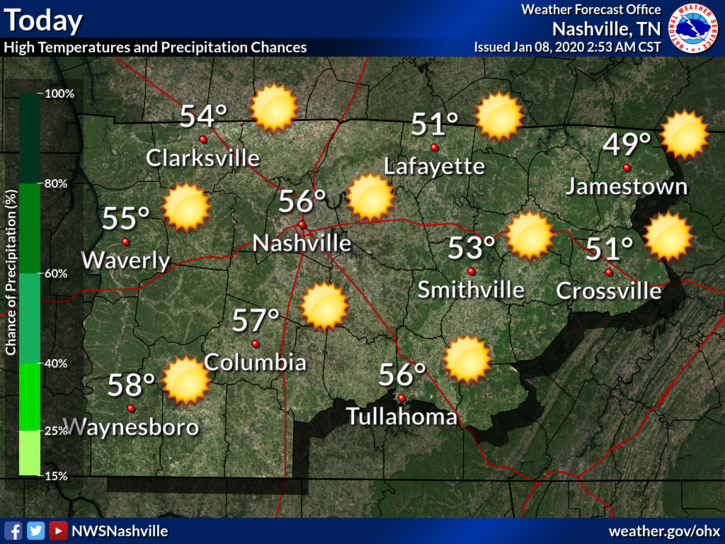
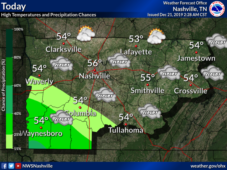
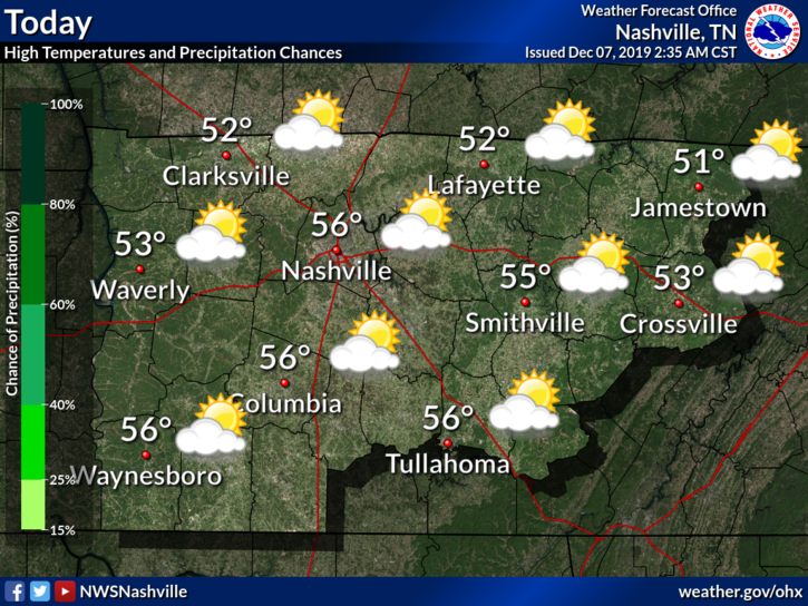
Expect our high today to reach around 54°F today with light winds and sunshine. read more

Flash Flood Watch for Heavy Rain Tonight, Low Risk of Severe Storms Tonight

Flash Flood Watch

The entire area will be at risk for flash flooding tonight when the heaviest rain moves through. Recent excessive rainfall saturated our soil and rose area rivers, creeks, and streams. We are vulnerable to flash flooding, especially tonight when it’s most dangerous because you can’t really see the water on the road in front of you. read more

Cold Air’s Grasp Ends (For Now), Warming through Friday

Warmer Air Returns

The past few days have been… well cold, to say the least. Our average high for January is right around 48°F and our highs have been falling short of that recently. This will be changing as we move through the end of the work week. read more

Heavy Rain Friday - Saturday, Storms Saturday May Be Severe. ETAs, Hazards, Probabilities.

Today is the Best Day of This Forecast

Windy, Afternoon Up To 63° Thursday

Gusts up to 30 mph possible.

This warm in January? Something is up.

What’s up is a cold front coming through late Saturday night. Watch the cold air race in at the end of the Euro model below:

Before the cold front: rain Friday, heavy rain and storms – possibly severe – Saturday. read more

Heavy Rain Incoming. Flood Watch Thursday & Friday.

Happy New Year!

Cold morning temps will rebound nicely into the mid-50°s this afternoon.

Rain approaches overnight tonight into Thursday morning.

Flooding Concers Begin Thursday

Rain starts Thursday morning.

Rain heaviest Thursday afternoon and evening. read more

Rain Chances for the Weekend, Clearing Through Monday

Cloudy and Cool for Today

We have a blanket of clouds over us today. This is out ahead of our next chance at rain.

Clouds should keep our high in the mid 50°s. Rain should keep away for today.

Rain Chances Build Up

This system will mainly keep to our south. Model guidance is shaky for how this moves north. The further north this system tracks, the more rain we are likely to see. read more

Two More Freezing Mornings, then a Warm Up; Peek at Christmas and the End of 2019

This morning a good chunk of the continent is at or below freezing, except for some regions along the coastline.

The high in and around Nashville today will barely breach into the 40°s, around 43°F.

Very cold Thursday morning: 23°. read more

Dry and Cool Weekend, Rain Chances for Sunday Night through Tuesday

Today Brings a Dry Start to the Weekend

We will hit a high near 56°F today, with some clouds hanging around.

Saturday is leading us with an excellent start to the weekend. If you have any outdoor activities or need to decorate for Christmas, today is the best of the best. read more

Low End Severe Threat Tonight, Clearing Tomorrow; A Look at Turkey Day

Heavy Rain and Wind Possible

The main focus today will be the severe threat off to our west.

The concern for us will be any lingering storms as they move toward us. Wind and heavy rains are what we expect for us here in Middle TN. read more

Rain Ending Today, Clearing out for Sunday and Monday

Rain Mostly Out of Here by 10 AM

Current Radar: The rain is moving on out. There could be a few scattered showers. Other than that, we should be drying out for the rest of the day.

Cloud cover should hang out though. Patchy fog will also be possible tonight along commutes as temperatures drop. read more