

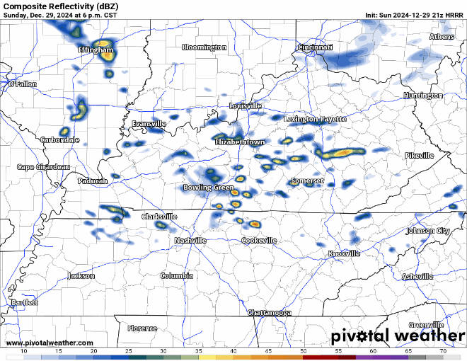
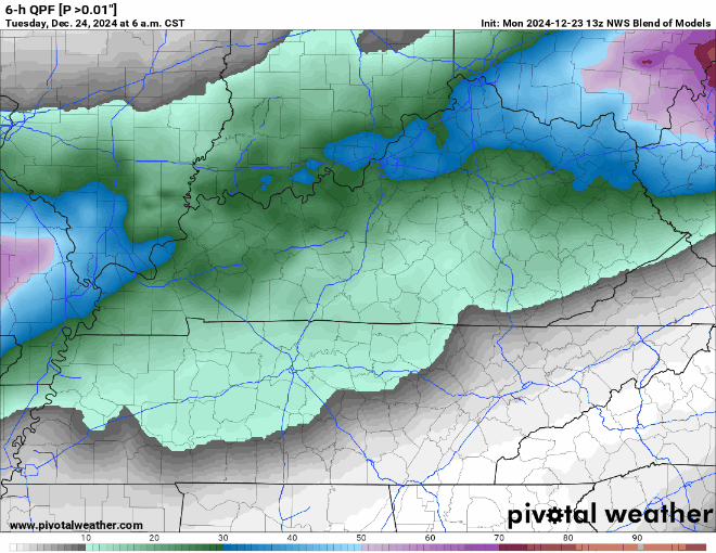
Some light showers possible tomorrow (Tuesday) during the AM hours, but these are expected to be few and far between and mostly staying to our north – HRRR model gives its best guess below.
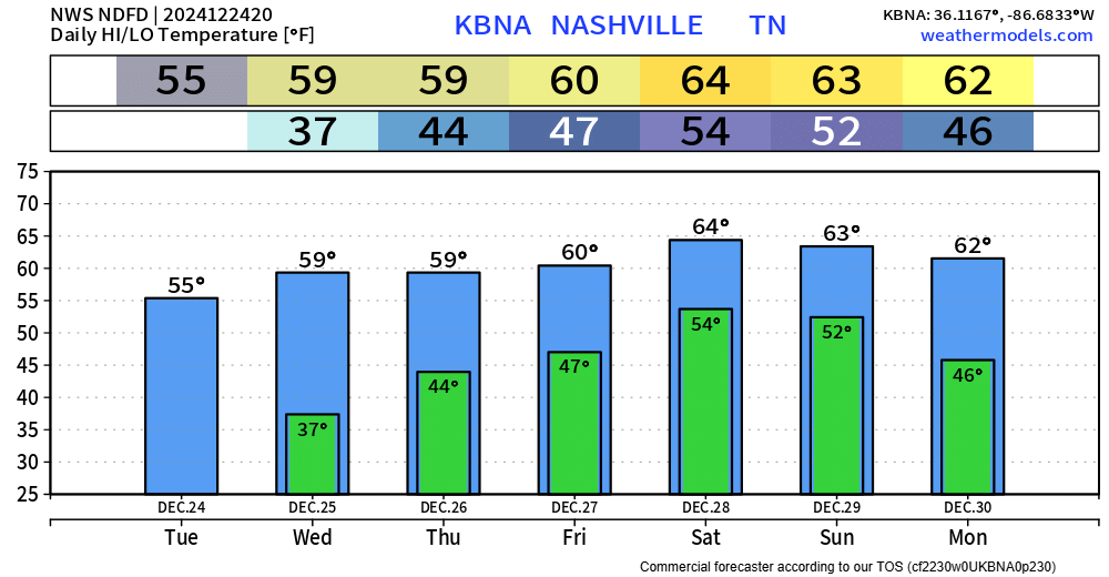
Temperatures Tuesday afternoon will be in the low 50s but will fall to the low 40s with a decent NW breeze overnight. If headed out for New Year celebrations, layers will be your friend.


You must be logged in to post a comment.