
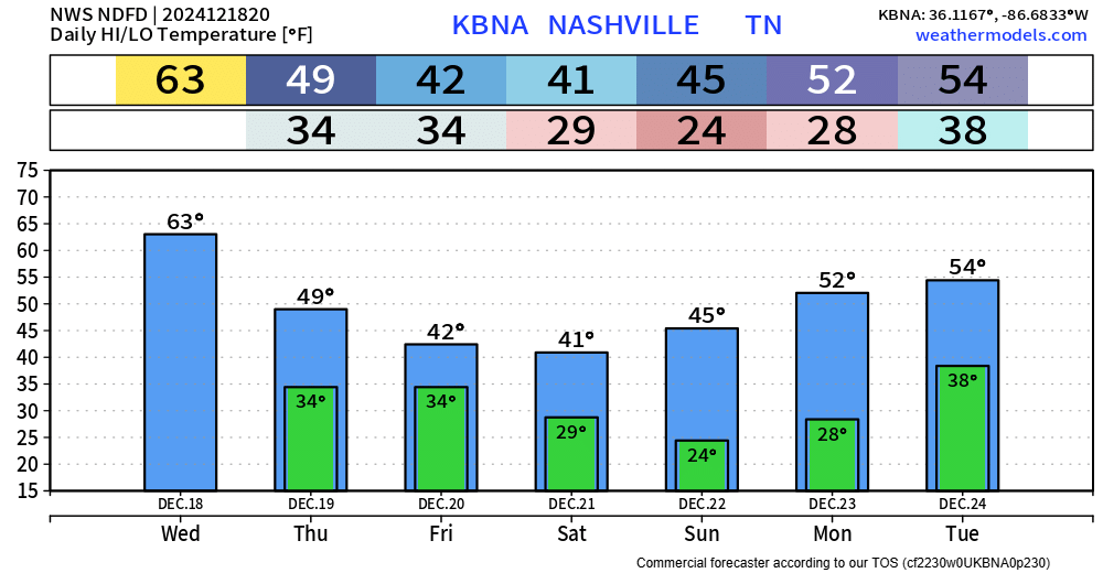
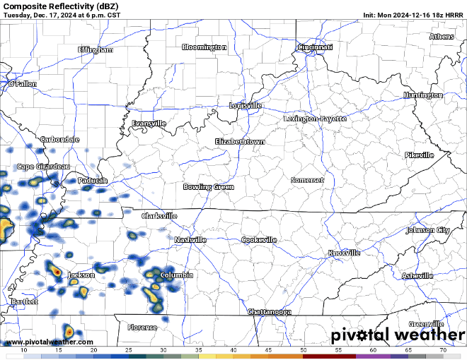
New data is always arriving which means the forecast is pretty much always changing in some sort of fashion. This is no big change, but I suppose something to note!
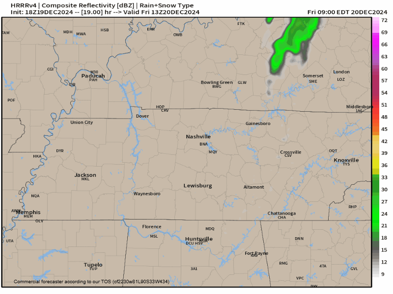
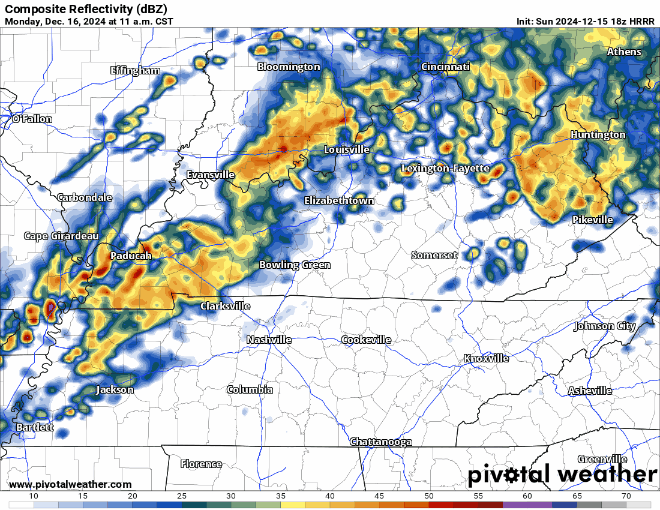
There is a relatively low probability that we could see some flurries Friday evening and into the overnight hours.


You must be logged in to post a comment.