
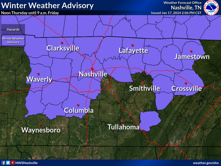
We have a Winter Weather Advisory for both of our counties from noon Thursday – 9am Friday.
- Ice accumulations up to 0.1″ possible…
- “Travel conditions remains treacherous in some locations owing to lingering snow cover” – NWS Nashville
- “…additional ice and snow accumulations will exacerbate these conditions.” – NWS Nashville
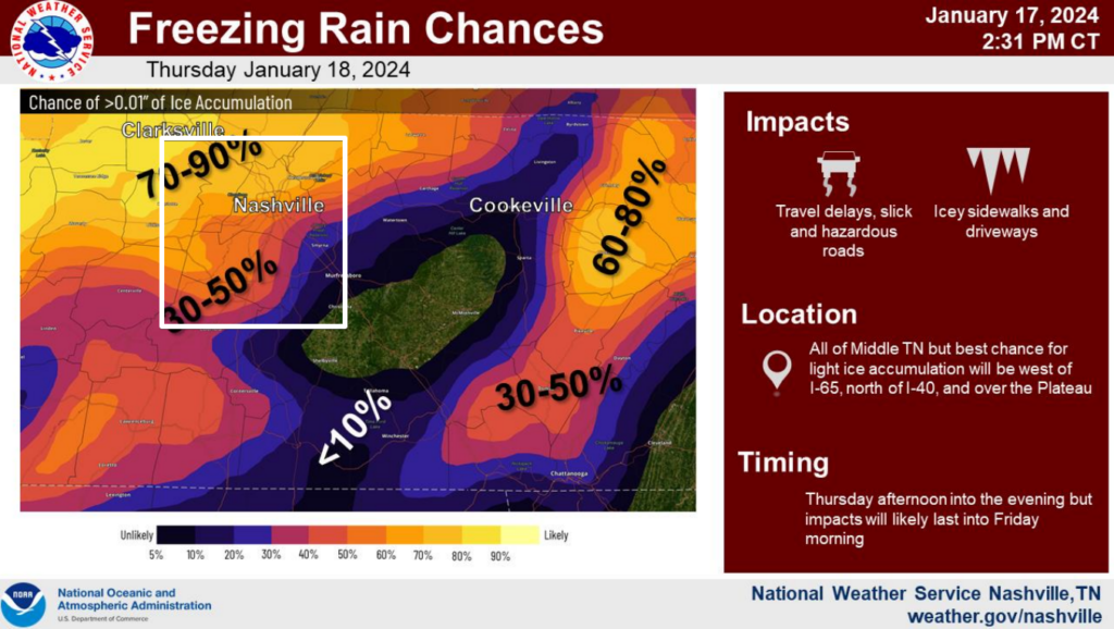
Across our counties, probabilities for >0.01″ of ice accumulation range from 30 – 70%.
Ice is a lot different from snow. All it takes is a glazing of ice to cause issues on the roads.
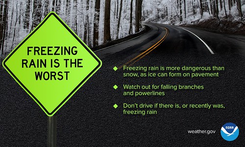
Thankfully we aren’t looking at ice accumulations significant enough to weigh down trees and power lines, but this could cause major travel problems again, especially with some roads already being treacherous.
Timing:
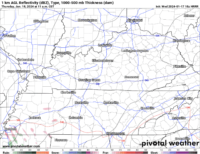
HRRR model (above) shows precip moving into our area around noon tomorrow, continuing on/off thru about 8 or 9 pm.
Unlike like our last event, surface temperatures will be near the freezing mark, and temperatures aloft will likely be above freezing. Most of our precipitation will likely come in the form of freezing rain, but some rain/snow could mix in.
It may look like it is just raining tomorrow, but these raindrops may freeze on contact with the surface, causing problems.
Tomorrow’s forecast will be a little more complicated than usual, as a difference in just a few degrees could make a lot of difference. We will likely be sending up a weather balloon tomorrow to see how the temperature/moisture profiles are up in the atmosphere to get a better guess at what kind of precipitation we may get. We’ll keep you posted.
Road conditions may deteriorate quickly tomorrow, especially bridges and overpasses. Keep that in mind tomorrow if you are planning on heading out. You can check the TDOT Smartway map here.
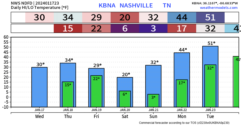
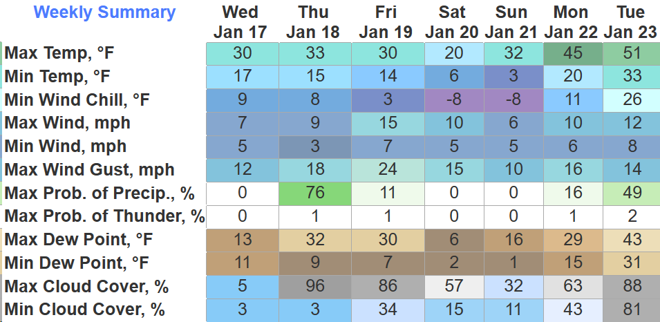
We will be dry this weekend, but sub-freezing temperatures are expected to hang around all weekend. Single digit lows are likely again overnight Friday and Saturday, with sub-zero wind chills possible.
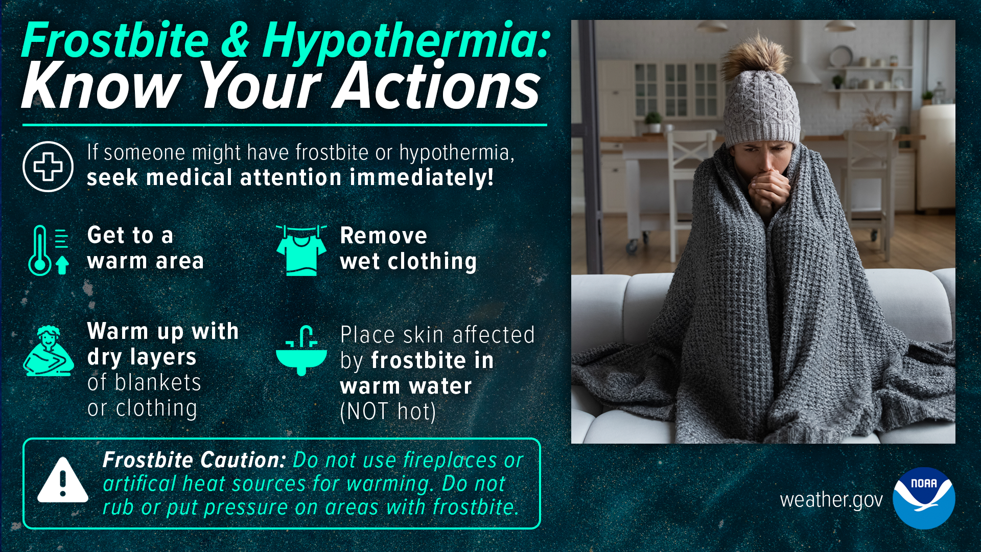
Take action against frostbite and hypothermia if going outside., bundle up with multiple layers.
Forecast is subject to change, stay connected for any updates.
Quick References:
Weather changes constantly.
Follow @NashSevereWx on Twitter for any changes to this forecast.
Live coverage during tornado and severe thunderstorm warnings:

Look good.
Support the mission.

We are 100% community supported. No ads. No subscription fees. Keep it free for everyone.


Categories: Forecast Blogs (Legacy)
You must be logged in to post a comment.