Cold Temperatures in a Winter Wonderland

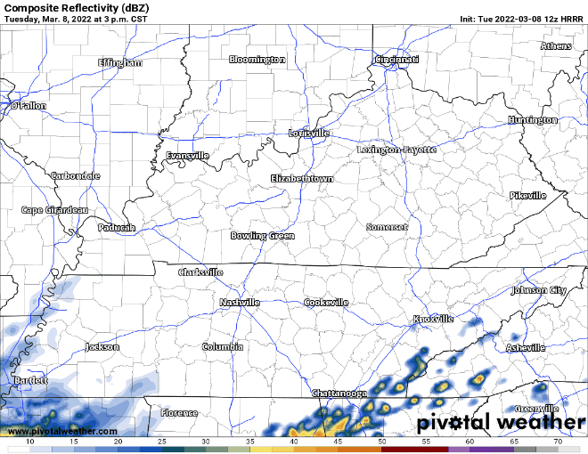
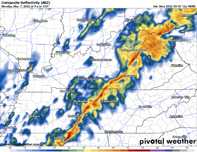
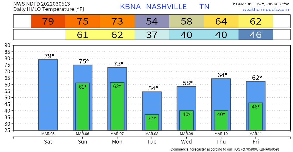
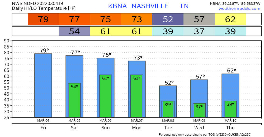
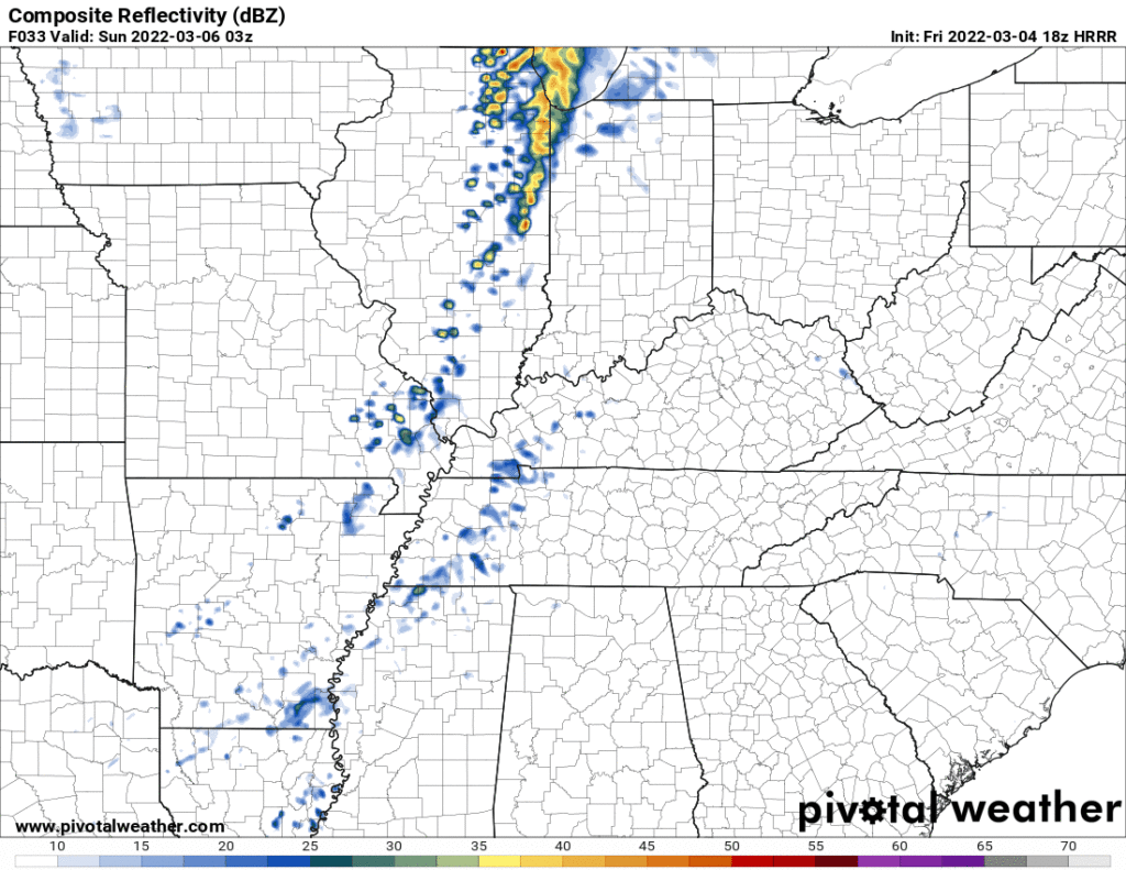
The temperatures reached the mid 60s yesterday, and here we are, literally the next day, with snow on the ground. Tennessee weather is weird.

Some of us woke up to 2-4 inches of snow on the ground, a few of us even 5-6 inches. (Accumulations are below). The low this morning was in the low 20s, burr. The high today will be in the lower 30’s, likely not getting above freezing. [Editor’s Note: The higher sun angle this time of year will really help melting, even with temps below freezing. But, watch out for black ice tonight as temps plummet and we lose the sun’s energy.] read more

Snow Tonight

Today, we’re going to start off with a pretty nice, warm day. This is going to quickly change. A cold front is going to quickly drop temps. See the roller coaster that is the hourly temperature chart: read more

Winter Weather Advisory for Friday Night

This afternoon I searched “March snow” in my Google Photos, and several snow pics from March came up from years past. While March snows are not unprecedented for us, it seems a little odd. But, here we are… Let’s lay it out. read more

Brief Warming Trend; Weekend Snow Possible

Rain has moved out… so what’s next? Highs warm up to the 60’s tomorrow and Friday. More sunshine the next couple days.

Late Friday night is when things start to get interesting. A strong cold front is expected to roll through… frigid temps along with it. Talking about a turnaround of almost 45 degrees from Friday afternoon to Saturday morning! Possible that we don’t get above freezing Saturday: read more

Rain Tonight, Cold Snap This Weekend

After yesterday’s cold front moved through, we’ll see a chilly day today and lots of clouds. Later tonight, we will have some rain move in, possibly around dinner time.

The rain will hang around all night, but will clear out before your morning commute on Wednesday. There are no severe concerns with this system. read more

Scattered Showers and Cooler Temps for the Rest of Today

The storm threat is over.

HRRR model below shows scattered showers until dinner time.

HRRR Model showing precipitation 9am Monday – 8pm Monday

Our counties are included in a wind advisory until 3pm. This is mainly in place for wind gusts ahead of the line of storms we just experienced. Model below shows wind gusts calming to the teens by dinner time. read more

Monday Morning Severe Storms Possible

High temps continue today, we should reach the upper 70’s. Windy, we’ve already seen gusts up to 25-30 mph.

There is a chance for showers and storms today, but probably not. The HRRR model thinks most of it will miss us and stay just north. Here’s what that looks like: read more

Some Rain & Storms for Some Sunday, Severe Storms Possible Monday

Today is nearly a repeat of yesterday. High temps will be somewhere in the upper 70’s. BTW, record high temp for BNA today is 80°, we’ll see if we make it there. It’ll be windy today, with a wind coming from the south at around 15-20mph, with gusts up to 30mph. You may see a shower tonight around the midnight hour, won’t be anything consequential. read more

The Weekend, Severe Storms Possible Monday, Then Winter Trysta Comeback.

LADIES & GENTLEMEN THE WKND

A few showers may sneak Saturday night into Sunday morning, no big deal. Just for some of us tho. Here’s the HRRR showing coverage and intensity. Meh.

Showers and a few storms will stretch out in a line Sunday but the line may stay northwest of us as shown below by the Euro. read more

Looking Back 2 Years Ago, then at Rain and Storms Sunday & Monday.

Obviously this is a difficult day for many of us, the two year tornado anniversary. In 2020 we wrote a retrospective, last year I wrote a personal note on the one year anniversary, today we invite you to what Riley Eillis wrote about her friends who were lost in Nashville that night. read more