
After yesterday’s cold front moved through, we’ll see a chilly day today and lots of clouds. Later tonight, we will have some rain move in, possibly around dinner time.
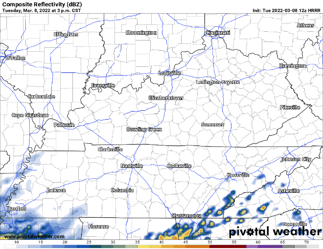
The rain will hang around all night, but will clear out before your morning commute on Wednesday. There are no severe concerns with this system.
Wednesday and Thursday we’ll see the sun again and have some comfy temps in the 50s and 60s.
We’re getting a little far out in the forecast, but low resolution global models are showing a strong cold front coming through Friday, possibly dropping some snow as cold air rushes in. Accumulation is possible with this system, which means travel problems are also possible. Start thinking ahead if you have somewhere to be late Friday night or Saturday morning.
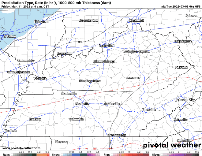
For all of the usual reasons, it’s not possible to pin down an accumulation amount at this point. By blending low resolution long range models together, we get maybe a couple of inches. But, because these models interpret snow output differently, we can’t put too much faith in that number. We need higher resolution models to come in range combined with local experience of our NWS forecasters before a good forecast is ready to be put out there.
The main story will likely be the cold. Saturday’s forecast high is officially 33 degrees. However, it’s quite possible we may not get above freezing at all. Talk about a shock to the system…. However, temps warm up quickly for the beginning of next week.
Quick References:
Weather changes constantly.
Follow @NashSevereWx on Twitter for any changes to this forecast.
Live coverage during tornado and severe thunderstorm warnings:
Look good.
Support the mission.
We are 100% community supported. No ads. No subscription fees. Keep it free for everyone.
Categories: Forecast Blogs (Legacy)
You must be logged in to post a comment.