
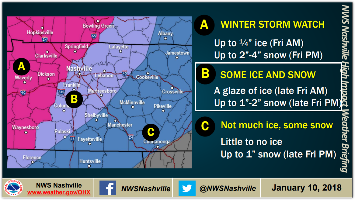
NWS Nashville – Special Weather Statement, Regarding Travel
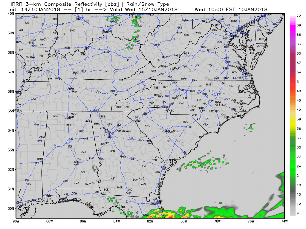
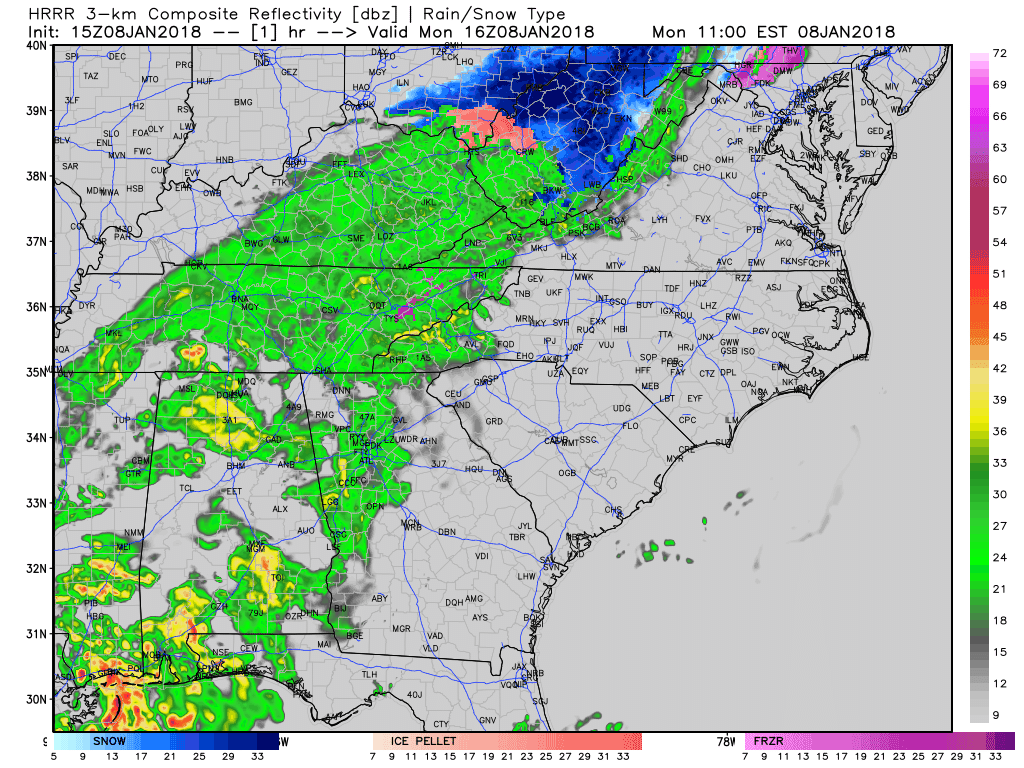
A few snow showers have developed across mainly northern portions of middle TN this morning. Think of someone randomly picking up a snow globe and shaking it for a minute…this is what the forecast for the afternoon will be. Random flurries, with sometimes a little more intense snow shower mixed in. Accumulations will not be of concern, but any heavier burst that develops could lightly cover the grass/elevated surfaces. Snow showers such as these are difficult to detect on radar at times, so if you get any fluffy stuff, send us your images or reports!
You must be logged in to post a comment.