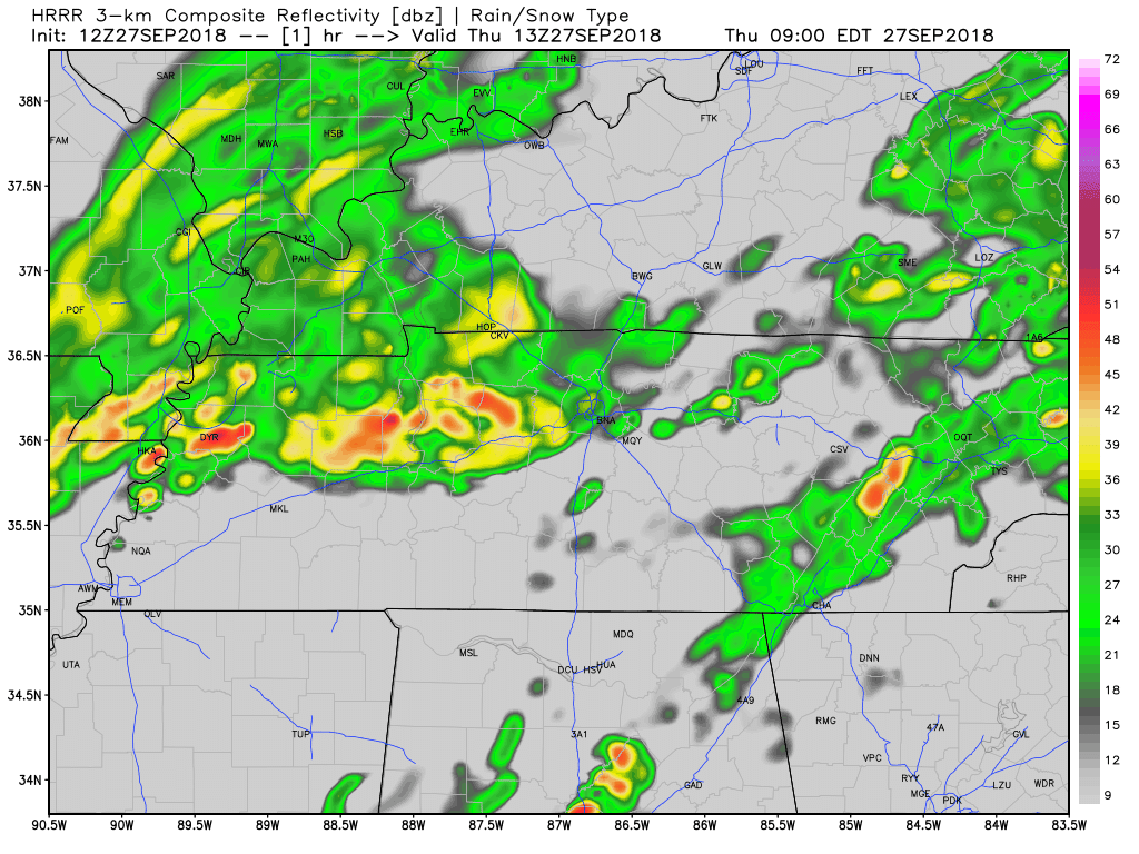
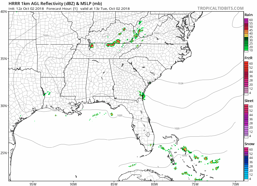
Last round of rain for a few days! The rain-making cold front will be hurried along to the east as a surface high builds in – see HRRR below.
Between cloud cover, rain-cooled air, and cooler temps at the surface, high temps today will reach the upper 60s. Yes, you read that right!
Our overnight low will settle into the upper 50s. An excess of surface moisture, cooler temps and calm overnight winds could lead to early morning fog.
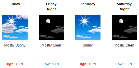
Friday & Saturday
Models have the weekend looking dry. Increased sunshine could bounce high temps on Friday back into the upper 70s. Dewpoints in the mid/upper 50s.
Same story on Saturday: partly cloudy skies, high temps in the upper 70s. Afternoon/evening plans look great!
Watching for Rain Next Week
Measurable rain chances will return to Nashville on Monday afternoon. South winds will return, bringing increased moisture and warmer temperatures by the midweek.
NWS Nashville’s thoughts on the warm pattern next week:
"Temperatures in the low to mid 80s should do it each afternoon Sun-
Thu...with overnight lows in the mid 60s. All in all, next week is
not a washout with time in between the raindrops to enjoy a
comfortably warm weather pattern." read more


You must be logged in to post a comment.