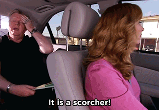
High temps today and tomorrow could exceed 85º. Bring on the heat complainers.
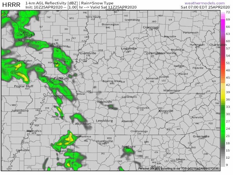
A small chance for rain showers north of us. We don’t think it will sink south down here.
Sunday hail & wind timing and probabilities.
Sunday starts like today.

High temps today and tomorrow could exceed 85º. Bring on the heat complainers.
A small chance for rain showers north of us. We don’t think it will sink south down here.
Sunday starts like today.

Lots of sun today. We’ve hit 73° in my back yard and 75° at BNA. These clear skies and warm temps continue. Tomorrow, the 80’s return.
The blue skies and sun continue through Sunday morning. Clouds begin moving in around lunch and by sundown Sunday night begins our chance for rain and storms.
Today we’ll see waves or rain, and possibly some strong to severe storms.
Today will be around 72º with plenty of mid-day sun.

Low pressure moves from west to east Saturday. Showers may start as early as midnight tonight, and will get wider in coverage through the morning. Strongest winds will be around mid-day and stick around through Sunday.

As we discussed yesterday, it will be cooler today but with plenty of sunshine streaking through this afternoon. High of 62º.
Unsolicited housekeeping advice: Do it tomorrow. Today is a day for playing outside.

Tonight’s severe weather threat is over. We really dodged a bullet with only a couple severe thunderstorm warnings.
As it passes, and we all head to bed, we’ll lose the threat of severe weather.
Sunny skies for days as high pressure abounds today and the majority of this week.. High temperatures during the day will stay in the low to mid 50’s, lows around freezing. Except for a chance for showers overnight on Tuesday, we’ll be dry.
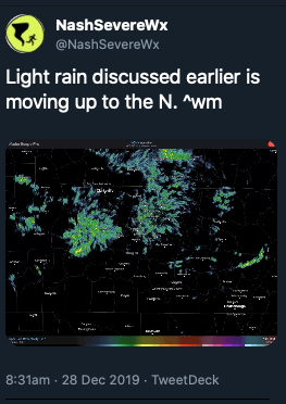
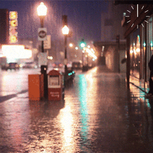
Today began with a good misting of rain for many of us.
That rain has pulled out and taken some of the cloud cover with it, but it won’t last long.
Here is a wide angle view of the radar at 12:35pm showing more light showers similar to this morning on our SW doorstep.
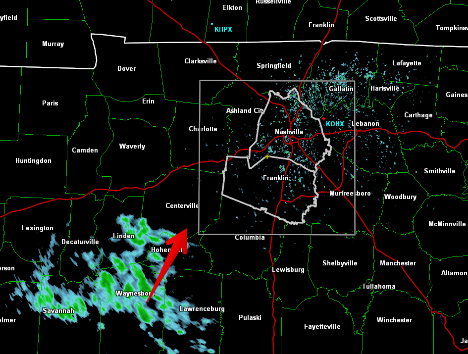
This won’t ruin any plans, but it will make the roads wet again, and usher in some cooler temps while it’s overhead. Bring a rain jacket to the honkey tonks tonight.

An upper low will deepen as it swings off the Rockies and through the central part of the country. Southerly surface flow will pick up ahead of this system encouraging temperatures to warm into the mid to upper 60s again on Sunday. PWATS are still running very high for the time of the year. Values of 1.5 inches or higher could be possible through the early morning hours on Sunday to Sunday night. Models have shifted the axis of heaviest precip to the west, over portions of west Tennessee and western Kentucky. However, this axis could easily wobble east or west over the next 24 hours as we see how the system evolves. For now, expect anywhere from 1 to 2 and a half inches of rain in Middle Tennessee.

Today’s skies are forecasted to clear, with mild temps and more sunshine. I wouldn’t be surprised if we exceed our forecasted high of 51º if these clouds give way.

Overnight low is down to 36º as clouds move back in overnight and trap the heat like a fluffy comforter.

Saturday’s temps will be may a few degrees warmer, up to 54º. However, the could that moved in overnight will stick around. Call it mostly cloudy by afternoon. These clouds set the stage for our next chance of rain.
Sometime the best models we can use to predict rain have disagreements. Actually, it’s more than sometimes. It’s something we struggle with when doing blogs like this, and something the National Weather Service is dealing with this disagreement today.
Most of the current iterations are giving southern and southeastern Middle TN some showers by Sunday. The problem is, the GFS is dry, the Euro is kinda wet and the NAM is giving all of the mid-state a deluge.
Beautiful skies and lots of sunshine. Temps in the low 50’s this afternoon. 39 tonight.
Downright nice day all around. Get outside and enjoy it. Brittney is excited about it too.

There’s a slight chance of showers late tonight and through tomorrow. That chance will be much more than slight as we head toward afternoon Friday. This will set the stage for a wet weekend for all of us.
NWS-Nashville had this to say about precipitation this weekend.
As evening hours progress tonight, the dry weather pattern since the late evening hours on Tue night will commence to ending. It will be replaced with an overall wet weather pattern established across mid state region through at least next Monday night.
You must be logged in to post a comment.