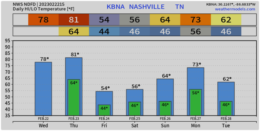
We’re not expecting severe weather, but storms are possible. Wind advisory today and tonight.
Here’s info…
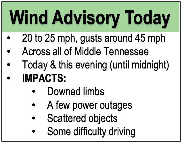
As you walked out the door today you undoubtedly noticed the warm air. Record temps in store for today and tomorrow.


We’re not expecting severe weather, but storms are possible. Wind advisory today and tonight.
Here’s info…
As you walked out the door today you undoubtedly noticed the warm air. Record temps in store for today and tomorrow.
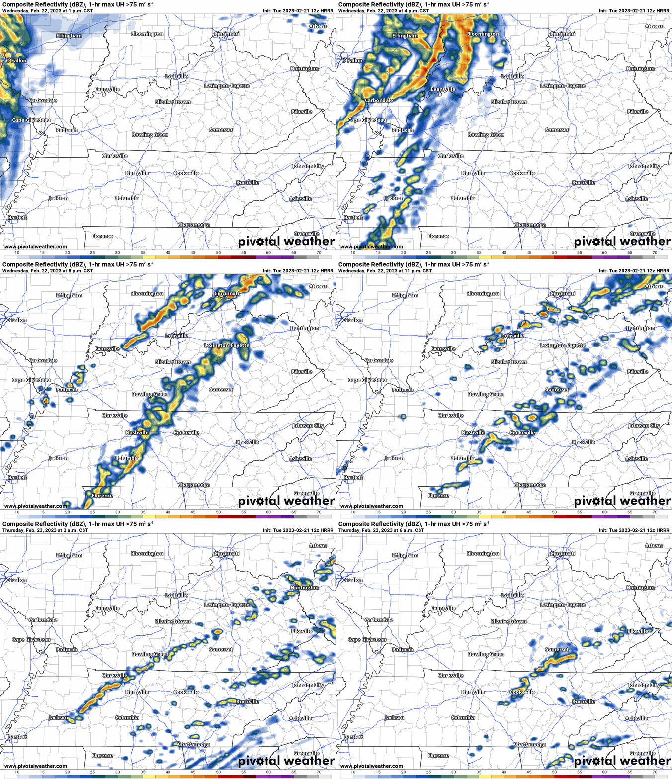
The rain is gone and the skies are mostly clear. We’ll see temps close to 70º this afternoon.
Overnight the wind picks up clouds move in. The wind might even reach advisory criteria. Expect max gusts between 30 – 40 mph. The HRRR predicts a few waves of rain tomorrow night as a front approaches. We don’t expect severe weather, but a rumble of thunder is possible into Thursday morning.

Yesterday got a little wild for some of us. We had reports of limbs down, flooded streets, and some large hail reported in our area. Thankfully, we didn’t have a tornado warning in our counties.

Today, some Sun and some clouds with temps in the upper 50s. Tomorrow and Tuesday more of the same. We should see some fog in low lying areas on any given morning. No big deal.

The GFS (below) shows a 9am Wednesday start time for the rain.

Temps climb to around 50º today. Clouds roll in later but our warm and dry weather remains. We could hit 60º on Sunday and Monday. Pretty sweet for early February.
Tuesday currently looks warm and dry with rain coming in overnight. I don’t buy the timing. Be ready for a return to wet conditions at any point Tuesday. We’ll refine that timing in the next few days.

The weather today is pretty nice if you enjoy a crisp and sunny winter day. A steady wind should mix out any fog or haze in the sky. Temperatures hover in the 30s. Black ice is still possible in areas that haven’t fully dried, although that will become much less common after today.
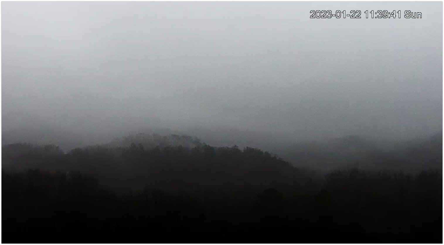
We’re been on a bit of a roller coaster lately. We are seeing disturbances here and to our north cause us to swing from lovely spring days to blerg. It’s the same story this week.
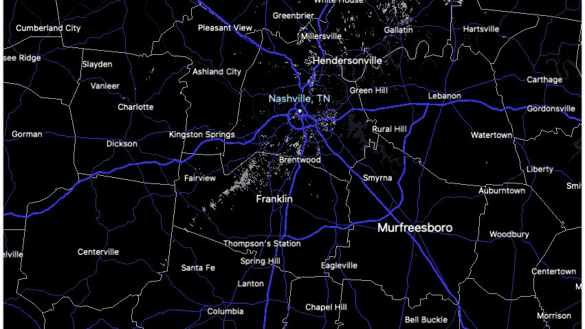
At this hour (Noon), the radar looks rain free. But the satellite and super mega cam tell a different story.

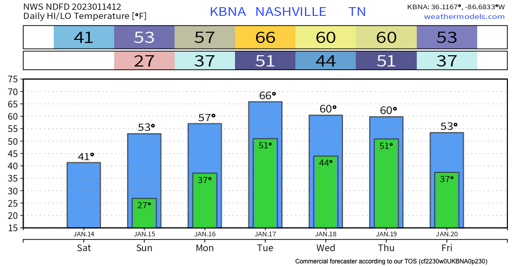
Temps will warm into the 50s today with a blue sky. We’re above seasonal temps all week. Temps mid week could even get into the 60s.
But with those warming temps we’ll also see an increased chance for rain for Monday and later in the week. After today, we’ll have a front move our way with showers for at least Monday afternoon.
The flizzard is over!
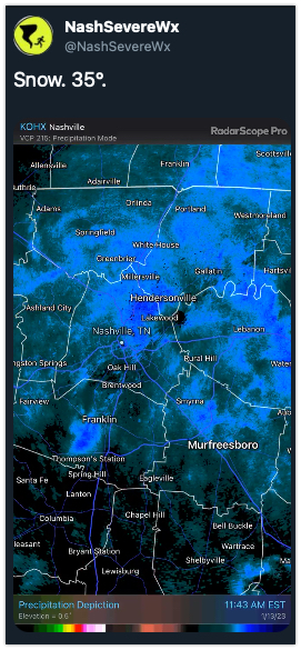
All in all we picked up 0.0″ of snow and 0% of us lost power. Winning!
TODAY… Temps will be in the lower 40s and after the cloud deck moves out, the sun returns. It will be a welcome sight.
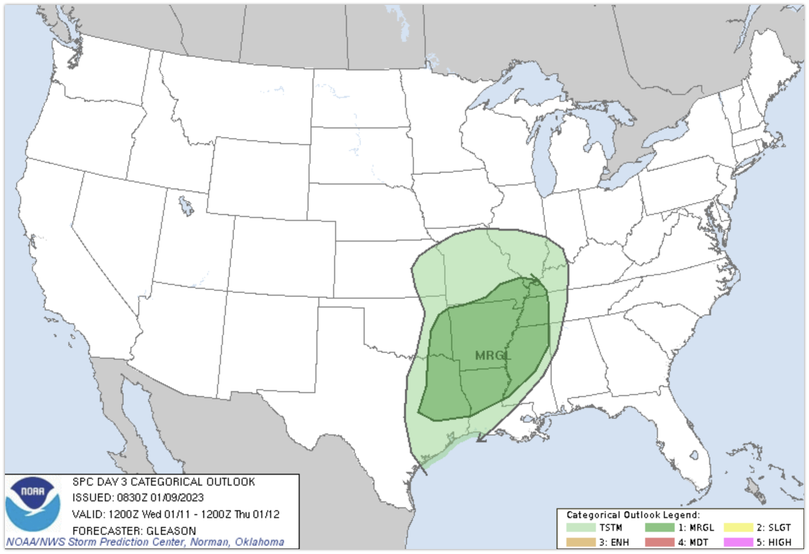
Boring weather for the next few days. Temps will warm tomorrow to around 60º. Same on Wednesday. This is great! It would stay great except there is a chance of rain and thunderstorms Wednesday night and Thursday. There’s a small chance for some isolated overnight showers Tuesday night, but this seems very insignificant.
You must be logged in to post a comment.