
Current hailers in West TN are expected to stay west of us, but a few showers/storms cannot be ruled out tonight. Some gusty winds and small hail aren’t out of the question, but storms are expected to remain below severe limits tonight.
More rain is expected to move in Tuesday AM, and hang around on/off throughout the day. HRRR model below gives its’ best guess.
No severe weather expected, but a few rumbles of thunder are possible. Some ponding on roads that easily do so is possible with about 1-2″ of rain possible throughout the day. Rainouts possible.
Rain continues to be the story on Wednesday, with more on/off rain throughout the day shown by the Euro model below.
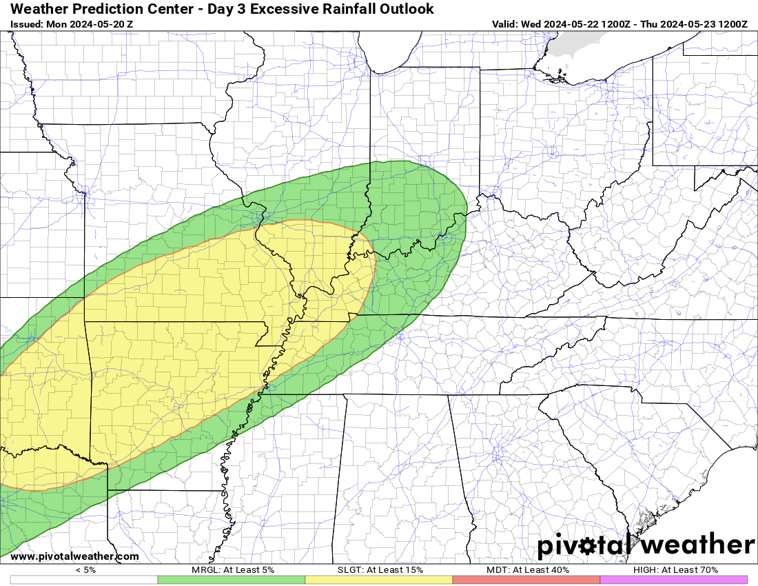
An additional 1-2″ of rain is possible on Wednesday, rainfall totals may start to add up and some flash flooding may be possible. The Weather Prediction Center has outlooked our counties with at least a 15% chance of flash flooding within 25 miles.
Thursday will be our final day of rain for the week, but rainfall totals will approach 3-4″ by the end of the week, with some isolated higher amounts possible. Some rivers could start running a bit high, we’ll keep an eye on them.
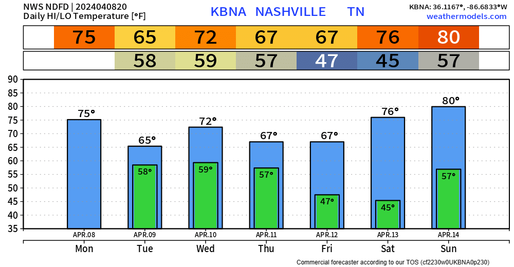
After dealing with rain all week, we are rewarded with a beautiful Friday – Sunday.
“Upper-level ridging builds in this weekend, resulting in a beautiful weekend! Conditions will be dry and sunny with highs getting close to 80 by Sunday.” – NWS Nashville
Categories: Featured Blog