
Tonight – Drying Out & Clearing – High 75
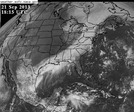
Things have cleared out very nicely (image below) after 1.68″ of rain fell over the past 24 hours.
Visible Satellite 1 PM – 3 PM:
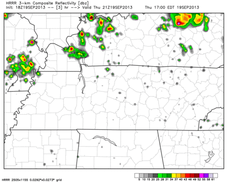
The dry air is also filtering in beautifully. Check out the HRRR model depicting lowering dew points today from 3 PM – 11 PM:


You must be logged in to post a comment.