Category: Forecast Blogs (Legacy)

Sun Returns Later Today, Hurricane Sally Remnants Later in the Week, A Note About Yesterday

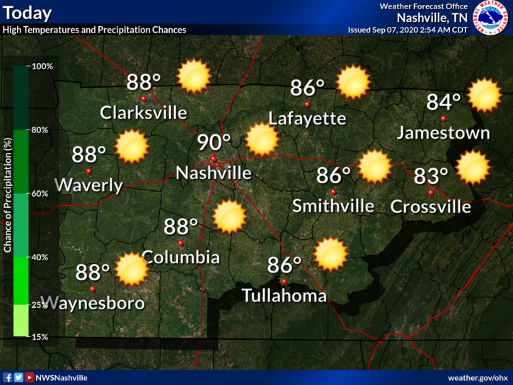
A pretty mild and dry afternoon approaching with our high temperature in the mid-80s.

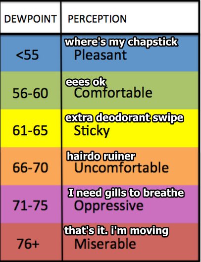
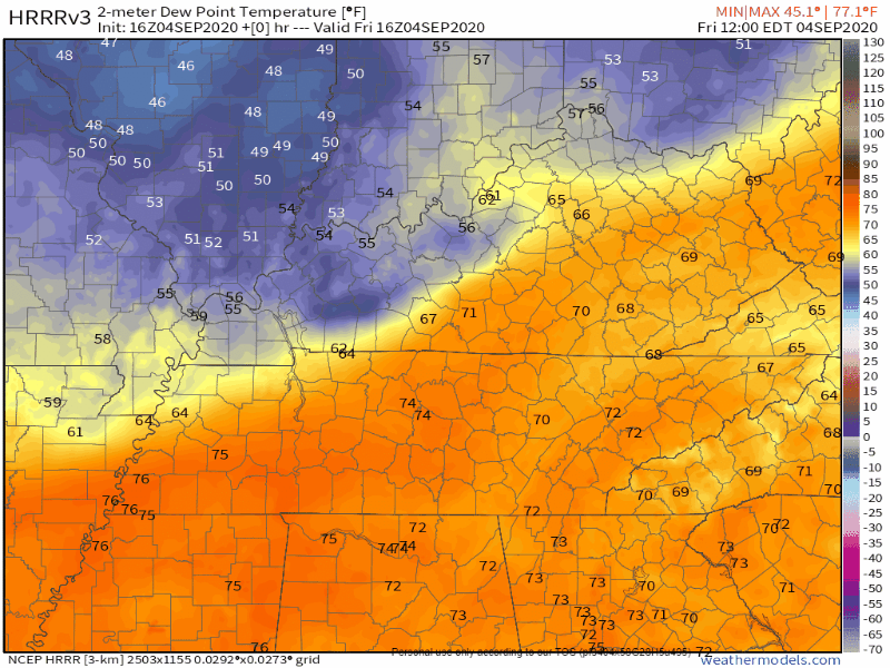
It’ll feel warmer, though, with those dewpoint temperatures projected to hang out in the upper 60s today.

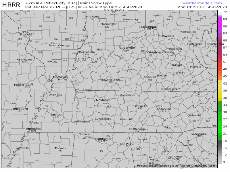
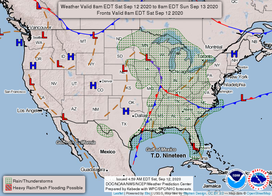
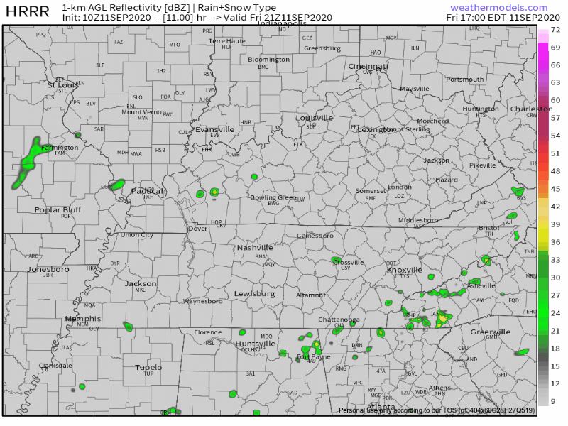
A chance for isolated showers is forecast for the southern region of the state. Most of the activity will stay mainly south of us, along the Tennessee and Alabama border this afternoon. read more

Probably Best to Stay Indoors This Weekend. Maybe a Dry Day or Two Next Week?

The Rainy Spell Will Begin Saturday Afternoon

A front that’s currently located over the Tennessee Valley region will move north this afternoon, increasing our rain chances.

See how we are sandwiched between the stationary front (red and blue patterned front) and the warm front (red patterned front)? That means we are in the warm and rainy sector of this frontal system. read more

Humidity on the Rise, Rain Chances Slim Through Friday, and a Tropical Update

Tuesday

Full supply of sunshine today with temps around 92.

You might feel a little stickiness with dew points in the low 60s but nothing too unbearable.

Clear conditions tonight with a low of 67.

Rising Humidity Wednesday

No change to the “warm and dry” part of the forecast with a high of 91. Humidity, however, will be a bit higher with dew points in the mid to upper 60s. read more

Even Better Weather Next Weekend? Are We Slowly Easing Away From Summer? (Kinda, #yeahweare).

Editor’s Note: Check out Denver.

Last week we suffered through 70° dewpoints. It’ll get more humid this week, but not expecting 70° dewpoints.

We’ll max out in the upper 80s this afternoon. Little humidity so not running high 90s heat index values!! Our dewpoints this morning hung out in the 60s and will make their way down to the 50 degree mark by the afternoon. read more