
Good morning Nashville! Another fairly warm day is in store for the city as the high temperature is expected to reach 83º by this afternoon! The wind will noticeably pick up to around 15-20 mph, with gusts to 35 mph.

Good morning Nashville! Another fairly warm day is in store for the city as the high temperature is expected to reach 83º by this afternoon! The wind will noticeably pick up to around 15-20 mph, with gusts to 35 mph.

No hills in or around Nashville have snow. Not even Joelton has snow. Temps today and tonight will be dramatically above freezing. Therefore an avalanche has no chance tonight, anywhere in Nashville.
Today and tomorrow will feel like the Spring we’ve been waiting on with temperatures that could warm into the 80s! That’s a sharp contrast to the chilly temperatures we had earlier in the week.

We are finally on an uphill swing in terms of the temperatures! Looking at a high of 68, with a few clouds in the area, today. An area of high pressure is providing this calm weather through late Friday. On Thursday and Friday, we will make it into the upper 70s for highs.
Spring and winter are still in a tug-of-war as temperatures bounce around between cold and warm. Today will be mostly clear with clouds moving in and out. Cold north/northeast winds are keeping it chill.

We have finally hit a dry spell that will last for more than just 2-3 days! This time, we are going to be dry for the work/school week!
Our temperatures, however, are going to be on a roller coaster.
Temps around sunrise are below freezing. Some areas are in the mid/upper 20°s.
Temps will rise into the low/mid 50°s as clouds arrive this afternoon.
Our air is really dry. No rain expected today.
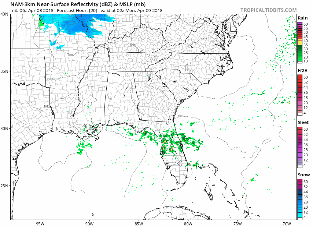
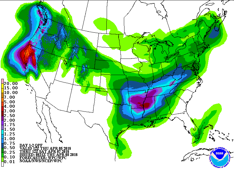
A shortwave will cross by after midnight. It may drop us a little rain, but not enough to rain stuff out. Here’s the NAM3 model:
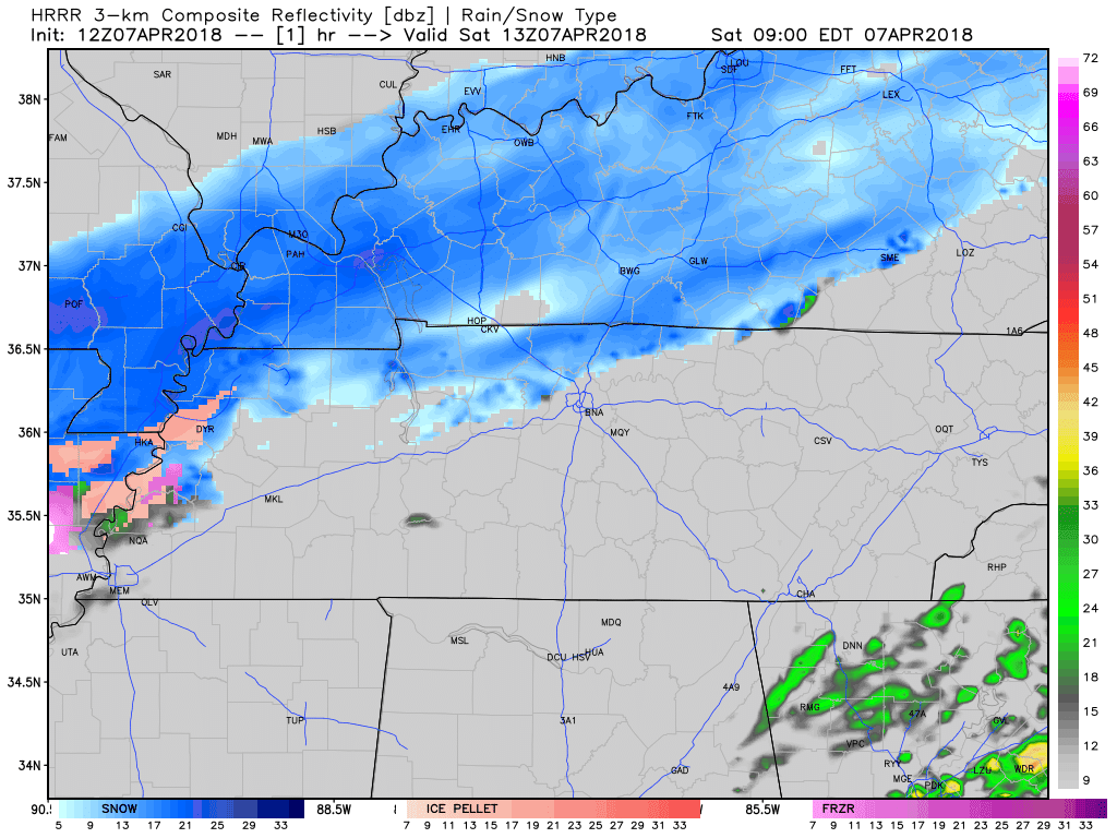
Dry, cold air is funneling into Davidson and Williamson County from the north. This dry air near the surface is zapping most of the snow trying to make it to the ground. Any wintry precipitation that actually makes it to the surface could accumulate on very cold surfaces, but the ground and roads are still too warm to allow for accumulation. Models and our local NWS office are trending towards this wintry mix ending in the mid to late morning.
Around 2 PM to 3 PM this afternoon, rain should be pushing into Williamson County and heading north into Nashville.
Rain should last until around midnight, then switch off.
This timing is from the HRRR model:
A dome of high pressure sitting over our location is going to keep most clouds and precipitation at bay for another day. As the next weathermaker begins to organize and move towards the southeast, clouds will begin to increase.

Good morning Nashville! The cold front arrived last night, dropping our temperatures into the lower 40s. Expecting a high of 52º with light winds out of the northwest at 10-15 mph.
Looking at temperatures near freezing overnight and early Thursday morning, so be sure to cover any vulnerable plants and bring your pets inside!
You must be logged in to post a comment.