
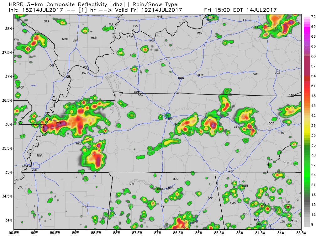
Flash Flood Watch Cancelled
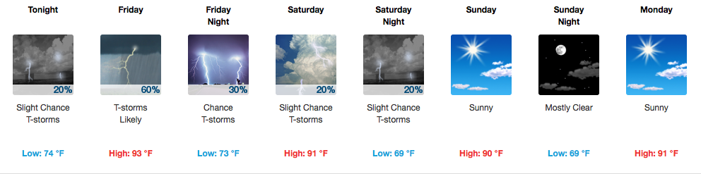
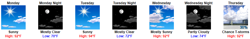
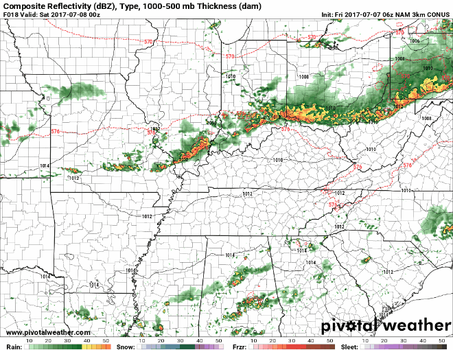
Our Flash Flood Watch was originally set to expire at 7 PM. After lunch, the rain moved out, and the Watch was cancelled. We may see a few very light showers tonight as the cold front comes through, but that should not discourage your outdoor plans.


You must be logged in to post a comment.