
Testing streaming with some new equipment. Here’s Will (and Sam) on tonight’s sunset:
October means “you’ll say ‘brrrr’ eight times.”
You’ll probably want a jacket in the morning.

Testing streaming with some new equipment. Here’s Will (and Sam) on tonight’s sunset:
October means “you’ll say ‘brrrr’ eight times.”
You’ll probably want a jacket in the morning.
Temperatures Today/Tomorrow
[av_textblock av_uid=’av-woy64i’]
[cjtoolbox name=’Treg DONT DELETE’]
[/av_textblock]
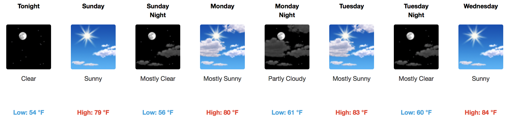
Those little music notes will get close to the 80ºF mark today and Sunday, but nothing higher than that! A few fair weather cirrus clouds will traverse the Tennessee Valley, as seen on visible GOES 16 imagery this morning:
High pressure will remain in control over the foreseeable future with no rain chances in sight. While temps won’t be completely fall-like, they will feel a bit nicer with highs in the low 80s and overnight temps in the 50s. Tomorrow will by far be the coolest day with highs in the upper 70s.

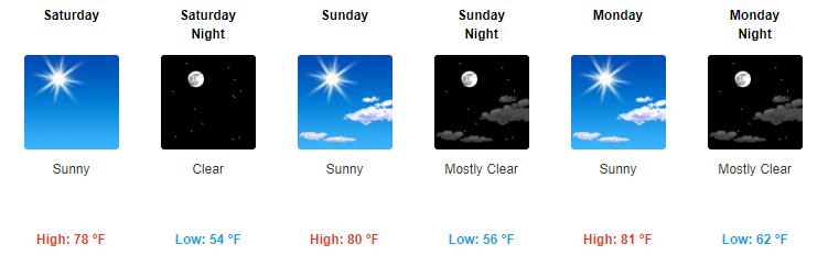
And the peasants rejoice. High temperatures all through the weekend will be in the upper 70s to near 80ºF, thanks to high pressure building in. Saturday may be the coolest of all days, as another weak (and dry) cold front moves through Friday night.
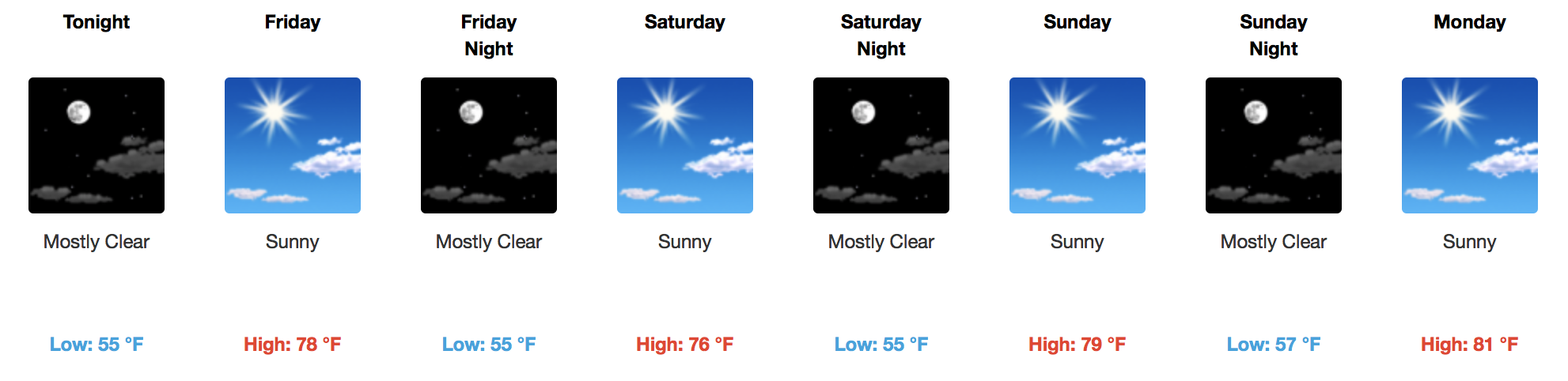
Starting tomorrow, expect for much cooler AND drier weather to return. Highs will stay in the upper 70s through the weekend with dew point temps backing down into the low-50s. It’s going to feel really nice.
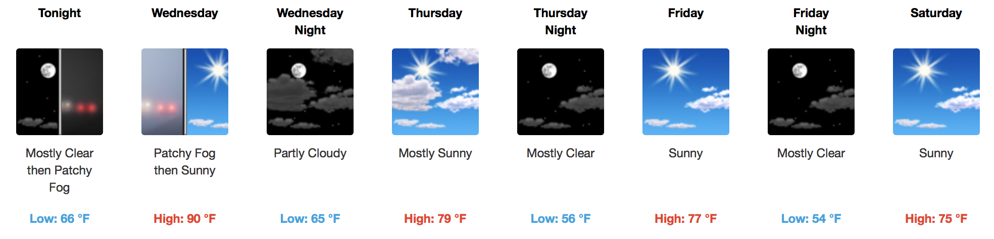
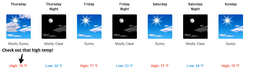
We only have tomorrow left in terms 90ºF afternoon temps…then it’s hello 70s! High pressure aloft continues to hold strong over the Mid-State, as we await a dry cold front passage Wed. night – Thurs. morning.
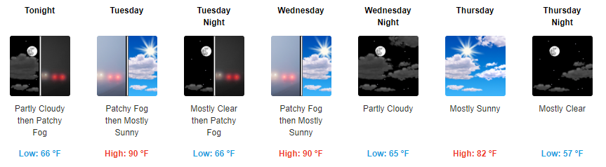
Highs in the 90s. Dew point temps in the mid-60s. Sunshine during the daytime. And there really won’t be a whole lot of variation in our forecast for the first half of the week.
https://giphy.com/gifs/much-help-confused-3og0IM42WoeZ00VM7m

Heat and humidity will continue through Wednesday, but rain isn’t expected over the next 7 days.
A dry north wind is on the way thanks to Hurricane Maria.
Hurricane Maria will pass northward off the Mid-Atlantic coast by mid-week, then into the North Atlantic Ocean at the end of the week. We’re on the western side of it, and as a result we will receive a dry northerly surface wind.
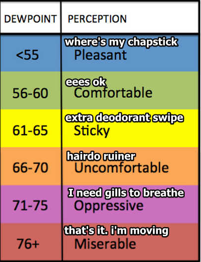
Heat and humidity remain. Mid/Upper 60° dewpoints with a high temp of 91° in the shade. It’s going to be much hotter in the sun.
Gross.
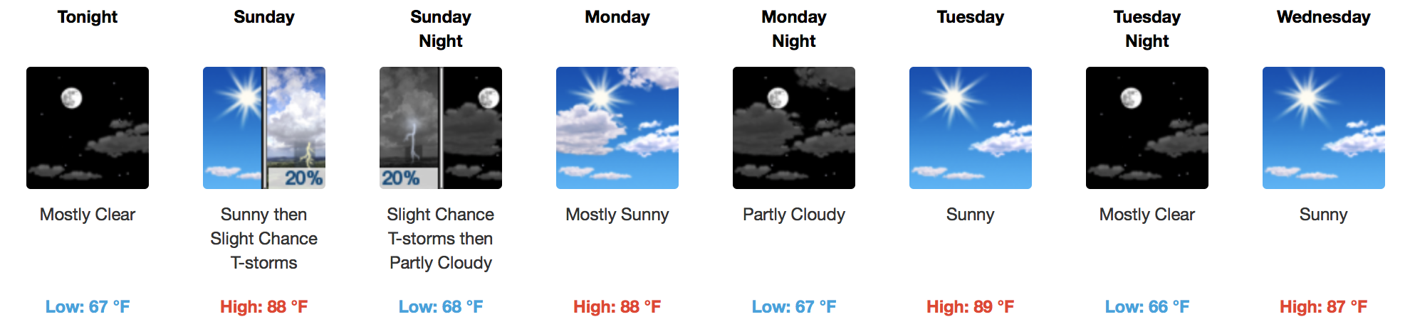
Our chance of a brief shower today is small. Someone in Tennessee will get a little wet, it probably won’t be us, but it might. A classic summertime battle of competing forces is to blame for forecast uncertainty:
[av_textblock av_uid=’av-jjzf3c’]
[cjtoolbox name=’Treg DONT DELETE’]
[/av_textblock]
Latest HRRR Model Loop
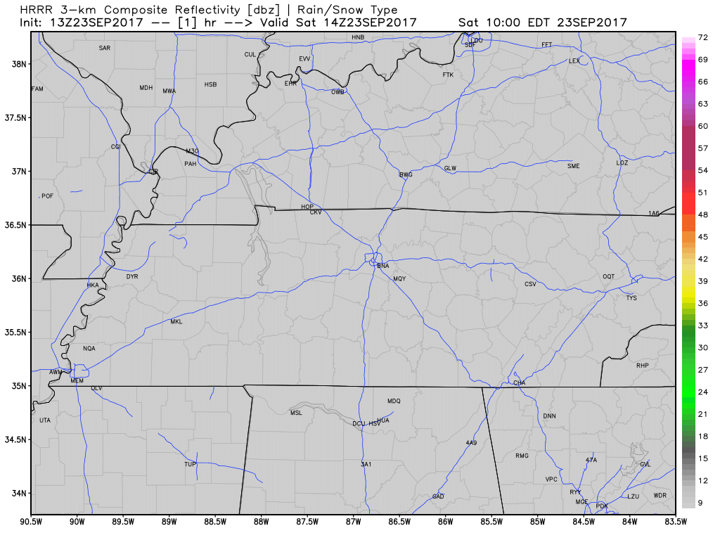
Nothing on radar right now, but with ample surface heating this afternoon, scattered showers and a few thunderstorms are possible across the area. No widespread severe weather is anticipated, but these rainers could produce heavy rainfall if you get caught under “one”.
You must be logged in to post a comment.