
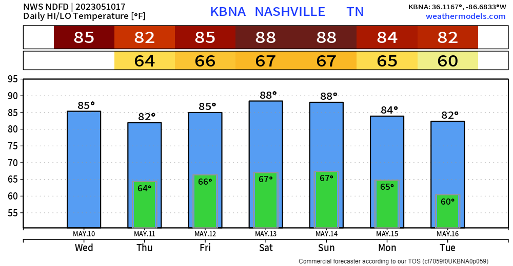
Pretty solid HUMPPPP day (shoutout Lelan). It’ll be quite warm, but should stay dry, until maybe tonight.
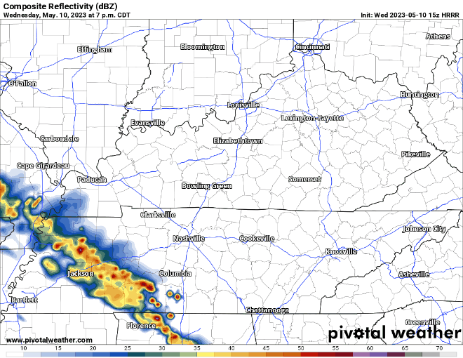
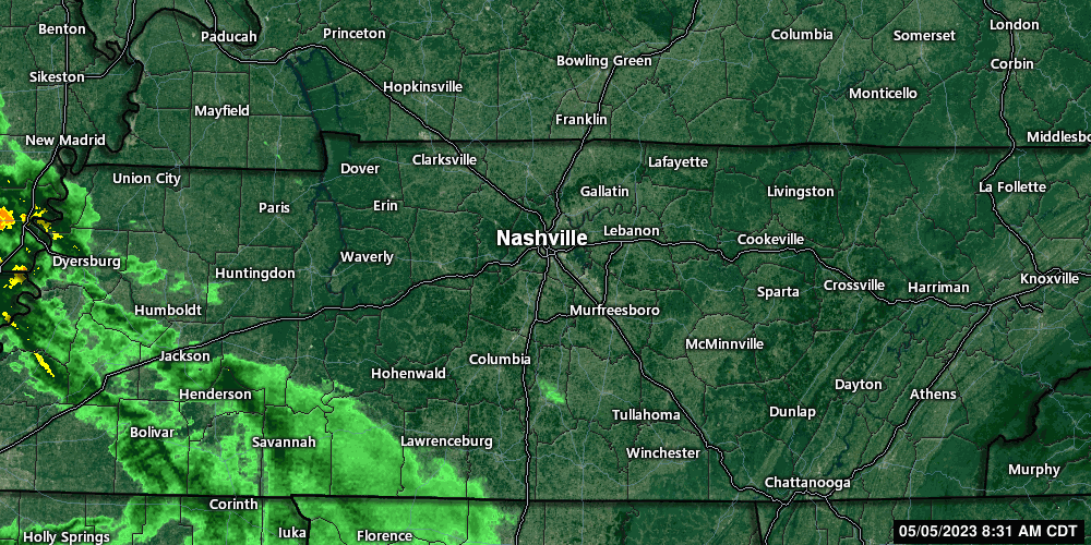
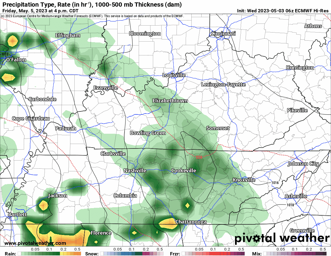
HRRR shows a band of showers/storms approaching tonight from the SW. Looks like it will almost completely collapse before it gets here. Maybe just some showers. Might have a cool light show if you look to the southwest though. Maybe you are outside, chatting with a friend, they hit you with the “oh look, heat lightning!” This is when you swoop in, like an eagle, and impress them with your vast knowledge. “Nonono, there is actually no such thing as ‘heat lightning’, it’s just lightning from a storm far away!” They’ll probably respond with “lol ok nerd” but just know deep down inside they are impressed.


You must be logged in to post a comment.