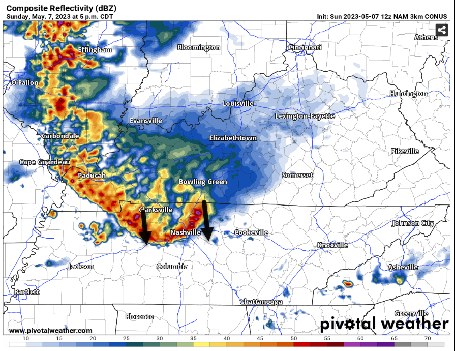
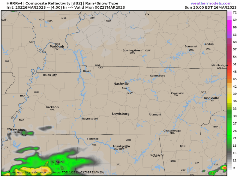
Overnight and before sunrise Monday a few showers may try to sneak through but meh, probs not. No big deal if they do.

Weds morning before sunrise we may see freezing temps with frost in local rural spots.
HRRR model (see 👇🏽) thinks ETA midnight tonight. Most of the rain gone by 7 AM, then off and on light showers after that. Side-eye all ETAs as usual. Think all rain gone by mid-afternoon Friday. Totals around a half inch, enough to rain out water intolerant rollyball fields Friday night and maybe Saturday morning.
BNA should hit freezing Wednesday morning.
Warm up weekend, near eighty.
No rain in sight. The Mississippi River at Memphis is at its lowest depth since 1954.
Drought isn’t just local. Much worse west. Mississippi River receiving little water.
A Freeze Warning is in effect officially from 1 AM to 9 AM Tuesday. Coldest temps will happen around sunrise.
Frost and freeze conditions will kill crops, other sensitive vegetation and possibly damage unprotected outdoor plumbing.
Little bit of rain coming today, meh.
⚠️ Early Tuesday morning Freeze Watch . . .
Frost and freeze conditions could kill crops, other sensitive vegetation, and possibly damage unprotected outdoor plumbing.
Probably won’t rain today. Not totes sure about that but I’m keeping my outdoor plans.
Rain expected Sunday.
Frozen Tuesday-Wednesday-Thursday mornings incoming. Below chart shows lows around freezing. Most local backyards get a bit colder than official lows so expect below freezing temps 👇🏽: