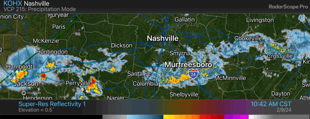
Another thunderstorm rumbling thru tossing lightning and downpours / 422 PM

Another thunderstorm rumbling thru tossing lightning and downpours / 422 PM
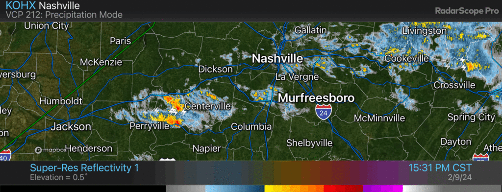
Thunderstorm working across Will Co should stay south of I-40 / 1142 AM
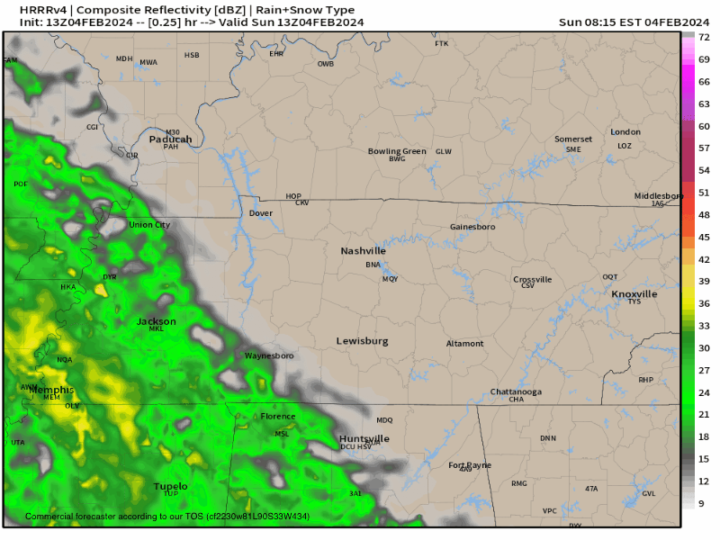
Rain off and on through the weekend. Drizzly, then downpours, then jack squat, off/on, creating difficulties for planners. No severe weather. Golfers pack a poncho. Good luck dodging the dripping. HRRR model attached. Drought continues to lose its grip. More info tonight when Elan logs on. (BTW, we are still working to crush bugs on this new platform. Please keep sending bug probs, we have a large squishing shoe. Future is bright, giddyup).
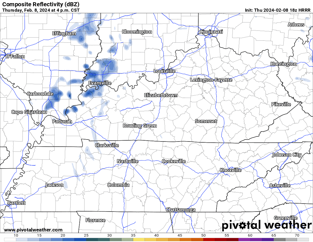
HRRR model keeps 99% of the rain south of us today.
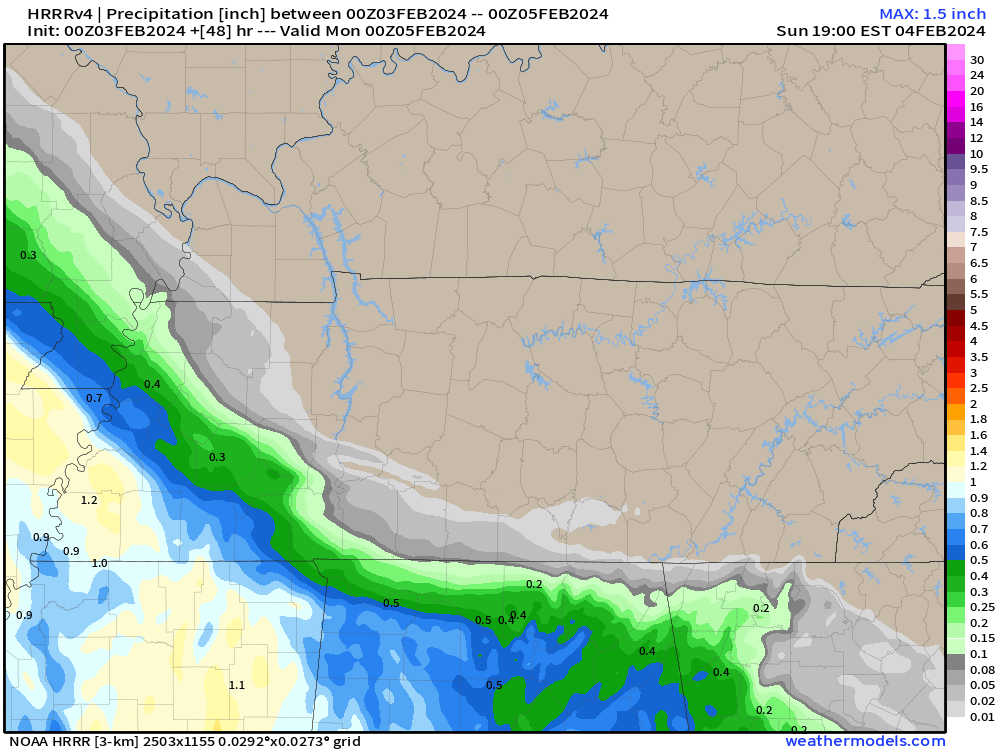
Latest HRRR model run keeps the rain Sunday to our SW. This’ll need an update tomorrow – rain gonna be pretty close.
Bless our mess. New website may be wonky as we debug it. Please report failures and bugs. We’ll squash them. We want this to work great for you.

TL/DR
* As of a few hours ago you can find all our weather info – blogs, tweets, all of it – on NashSevereWx.com. You won’t need Twitter/X .
* NashSevereWx.com will be one continuous, chronological feed. All our information will originate here, then go out to various social networks.
* Our Twitter/X will remain the same for those who want to stay there.
* Save our website to your phone. It’ll function similar to Twitter/X. Mobile optimized. No login, no password needed. It auto refreshes.
* You can comment/reply on NashSevereWx.com if you are Facebook authenticated.
* Our feed will instapost first to Twitter/X at launch. Soon, we’ll explore the same with Facebook, Threads, Instagram, etc. as long as its API is open.

Ice remains. It was 5° at BNA overnight. Many local areas colder than that.
Temps above freezing – barely, briefly – this afternoon. Sunlight and light winds will erode but not eliminate ice sheets. Back down to 20° overnight and Monday morning.
Most main and secondary roads are OK, but could contain “invisible” black ice in “hard freeze” (T<26°) temps today and Sunday morning. Neighborhood roads, sidewalks and decks remain icy, esp on hills and in shady areas.
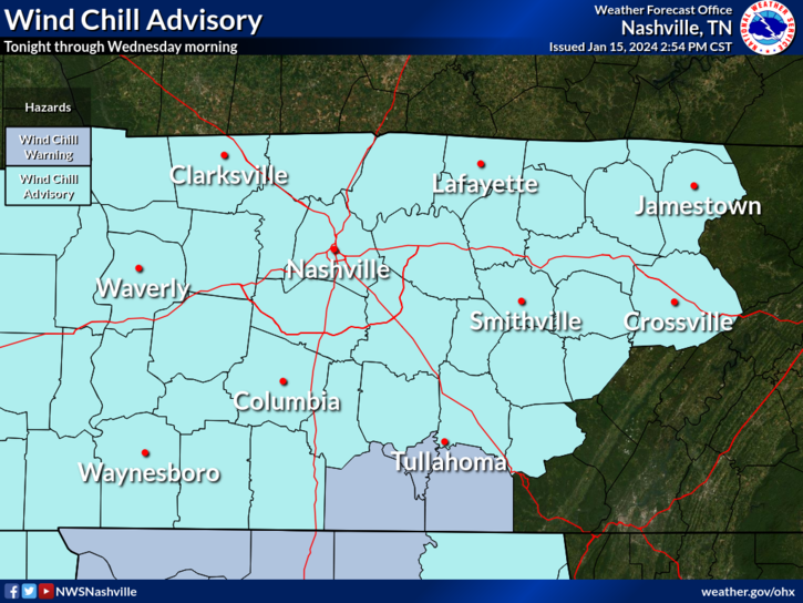
Wind Chill Advisory. Tonight 10 PM thru Weds 11 AM.
Snow Totals Vary 5.5″ to 9.5″. Snow fell unevenly. Elevation and location skew results. I’ve seen 5.5″ to 9.5″ in our replies. An average winter in the last 30 years delivered 4.7″. Snowfall is ending now and should be gone after dark. Send measured snow taken from hard surface (not grass) by tagging it with #tSpotter on Twitter.
You must be logged in to post a comment.