

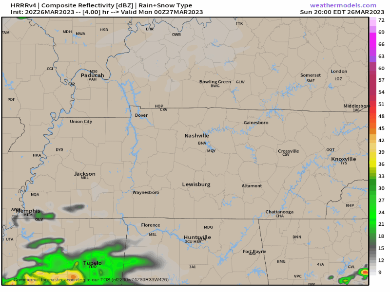
Overnight and before sunrise Monday a few showers may try to sneak through but meh, probs not. No big deal if they do.
Weds morning before sunrise we may see freezing temps with frost in local rural spots.
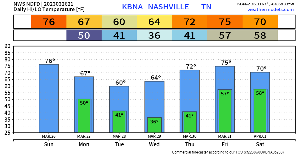
Next rain/storm event ETA Friday night into Saturday morning. We have no confidence in how much rain or whether this will be a bad storm event. But, right now, we think:
- Around an inch of rain or so. Sometimes forecasts this far off overestimate rainfall, so we may see less. An inch is just a guess, and yeah, we could see more.
- I would not bet on Friday night ETA. The line of showers/storms could easily arrive early Friday or mid-day Saturday. Friday night is just a dataguess.
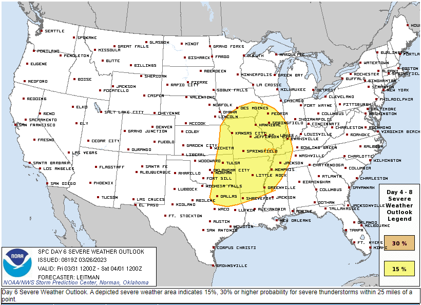
- SPC has a large area to our west already outlooked for severe weather on “day 5” which covers 7 AM Friday to 7 AM Saturday. We aren’t included, but as models hopefully get a better picture, we may be included. “It is still too soon to know about the potential for strong or severe thunderstorms.” — NWS-Nashville
Quick References:
Weather changes constantly.
Follow @NashSevereWx on Twitter for any changes to this forecast.
Live coverage during tornado and severe thunderstorm warnings:

Look good.
Support the mission.

We are 100% community supported. No ads. No subscription fees. Keep it free for everyone.


Categories: Forecast Blogs (Legacy)
You must be logged in to post a comment.